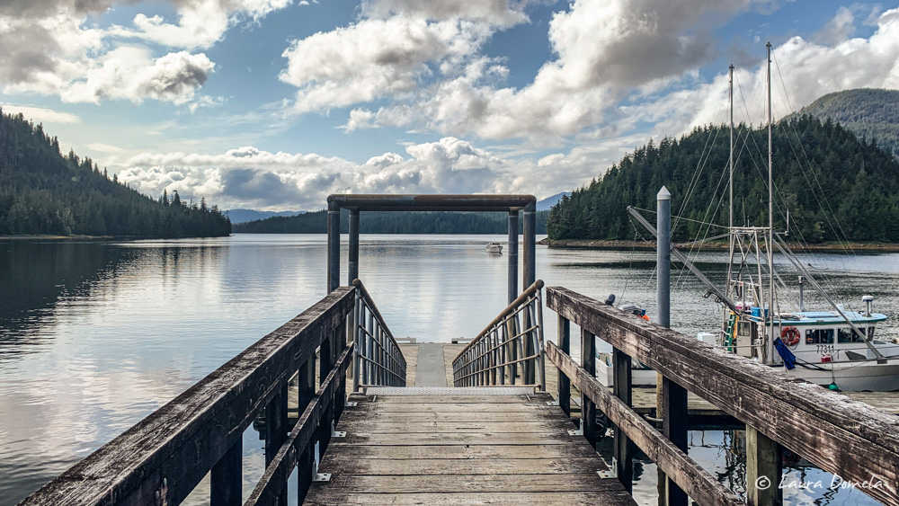
Days 2-3 | Alaska Flotilla Leg 4 | Marguerite Bay to Walker Cove

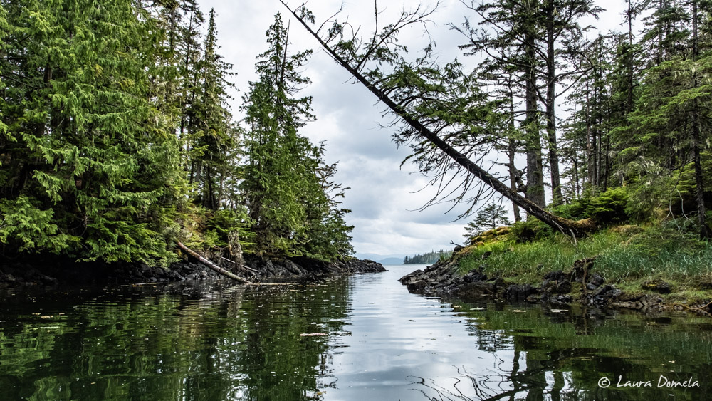
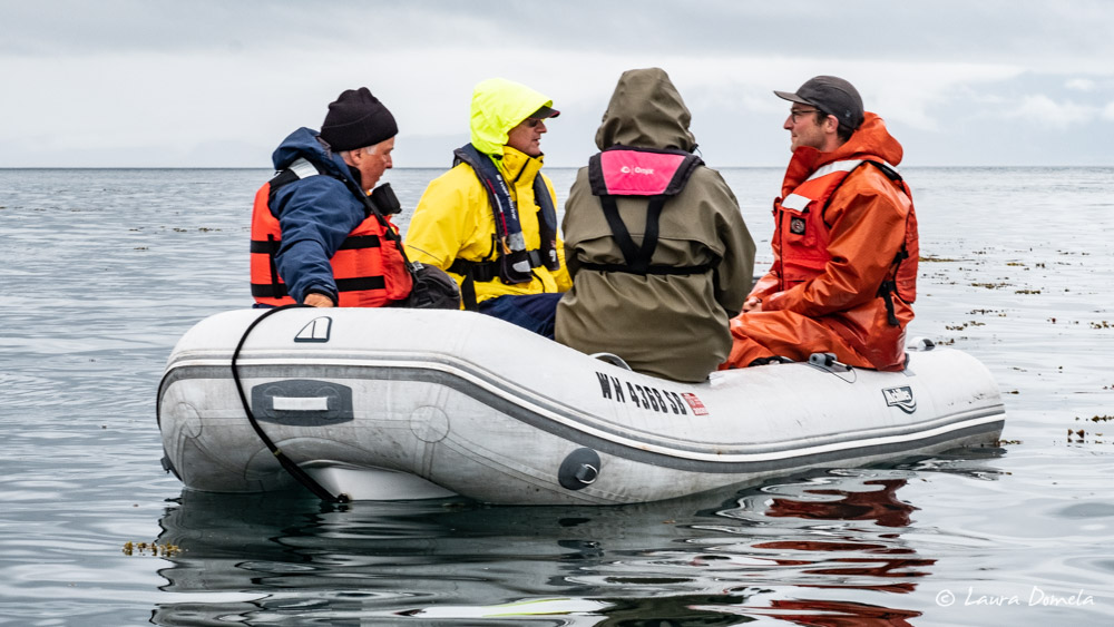
Misty Fjords National Monument is one of the most scenic places in Southeast Alaska. Waterfalls of all types, from dainty-looking ribbons to furious torrents, plunge into the ocean. Sheer walls rise thousands of feet into the misty skies. In the places sufficiently horizontal for soil to gather, scars from landslides abound, illustrating just how tenuously the soil and vegetation cling to the cliffs. We’ll visit two of the most dramatic … Read more

Day 1 | Alaska Flotilla Leg 4 | Ketchikan to Marguerite Bay

Several weeks ago we stumbled upon some information about the Margaret Creek Wildlife Viewing Area near Ketchikan. Exploring Southeast Alaska (the most popular cruising guide for the area) had almost no information on the bay or the wildlife viewing area, but the anchorage in adjacent Marguerite Bay looked spacious and well-protected with moderate depths. The description of the wildlife viewing area was tantalizing: a 1.25 mile walk to a platform … Read more

Day 17 | Alaska Flotilla Leg 3 | Tolstoi Bay to Ketchikan

The 34nm route today from Tolstoi Bay to Ketchikan crosses Clarence Strait and transits south down Tongass Narrows. Traffic increases exponentially as we near the “big city”  — cruise ships, tour boats, float planes, ferries, fishing boats, pleasure boats, and so on. The rest of the group headed for the docks at Bar Harbor (closest to groceries and laundry), while Airship found a spot at city floats in town. Kevin’s … Read more

Day 16 | Alaska Flotilla Leg 3 | Exchange Cove to Tolstoi Bay

We departed Exchange Cove and headed south through Kashevarof Passage towards Clarence Strait. Water was glassy for the first couple hours of our 44nm transit, then picked up a little in Clarence Strait. We saw a few humpback spouts in the distance but otherwise an uneventful, calm cruise. Tolstoi Bay is on the west side of Clarence Strait near Thorne Bay. We anchored in the west cove, near a couple … Read more

Day 15 | Alaska Flotilla Leg 3 | Point Baker to Exchange Cove

We weren’t in any rush to depart Point Baker, but we all got underway fairly early for the short cruise to Exchange Cove. Right off the bat, strong opposing current slowed our progress. Watching the speed over ground drop into the 5s, then 4s is painful, but thankfully the water was calm and we only had 25nm to travel. Around Point Colpoys the current finally released us from its grip … Read more

Day 14 | Alaska Flotilla Leg 3 | Devilfish Bay to Point Baker

Our route today from Devilfish Bay to Point Baker is via El Capitan Passage. El Capitan Passage is a narrow, winding, shallow pass (dredged to 6 feet in some places), but it is well-marked and well-charted. Unfortunately, low tide this morning was at about 7:30 a.m. and is a -1.6ft, so we opted to leave Devilfish Bay around 10:00 a.m. to ensure we would have plenty of water under our … Read more

Day 13 | Alaska Flotilla Leg 3 | Craig to Devilfish Bay

Originally when we planned this leg of the trip we’d hoped to continue down from Craig around the south end of Prince of Wales Island, then north to Ketchikan. This is slightly shorter than going over the north end of Prince of Wales Island, but it’s also more exposed. Cape Chacon, at the south end of Prince of Wales Island, juts into Dixon Entrance. To go that route, we needed … Read more

Days 11-12 | Alaska Flotilla Leg 3 | Egg Harbor to Craig

Craig is about 50nm from Egg Harbor, and a third of those miles are in the ocean. Today’s forecast is as good as we’ve seen: wind light and seas (combined wind waves and swell) three feet. We departed early from Egg Harbor—around 6:30 a.m.—hoping to beat any unforecast wind. The ocean cooperated nicely, and we enjoyed as smooth a ride as we’d hoped. The only downside of today’s cruise was … Read more