Circumnavigating Vancouver Island Flotilla | Day 10 | Sea Otter Cove to North Harbour

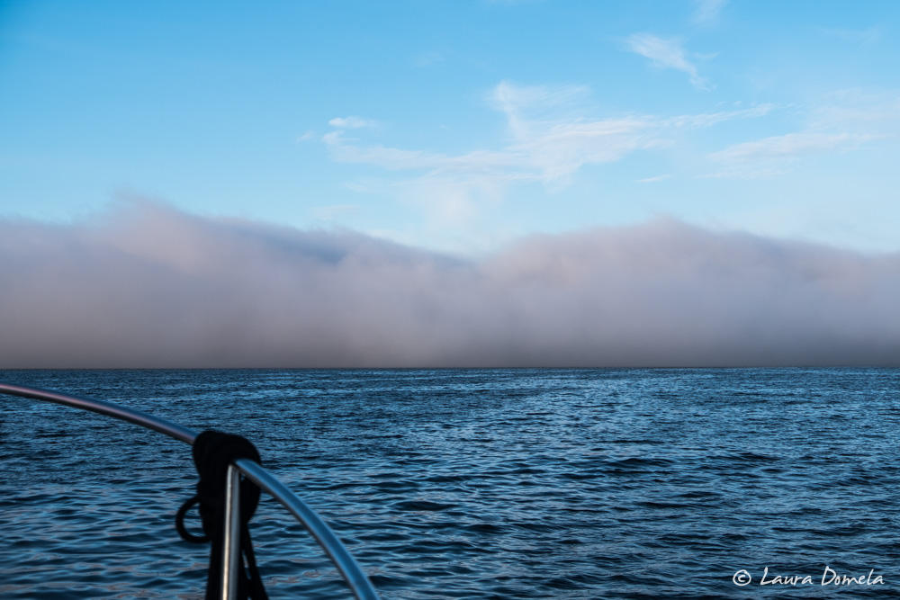
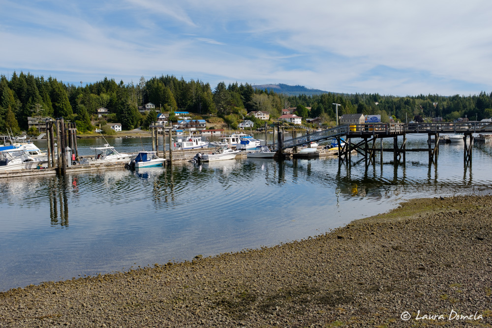
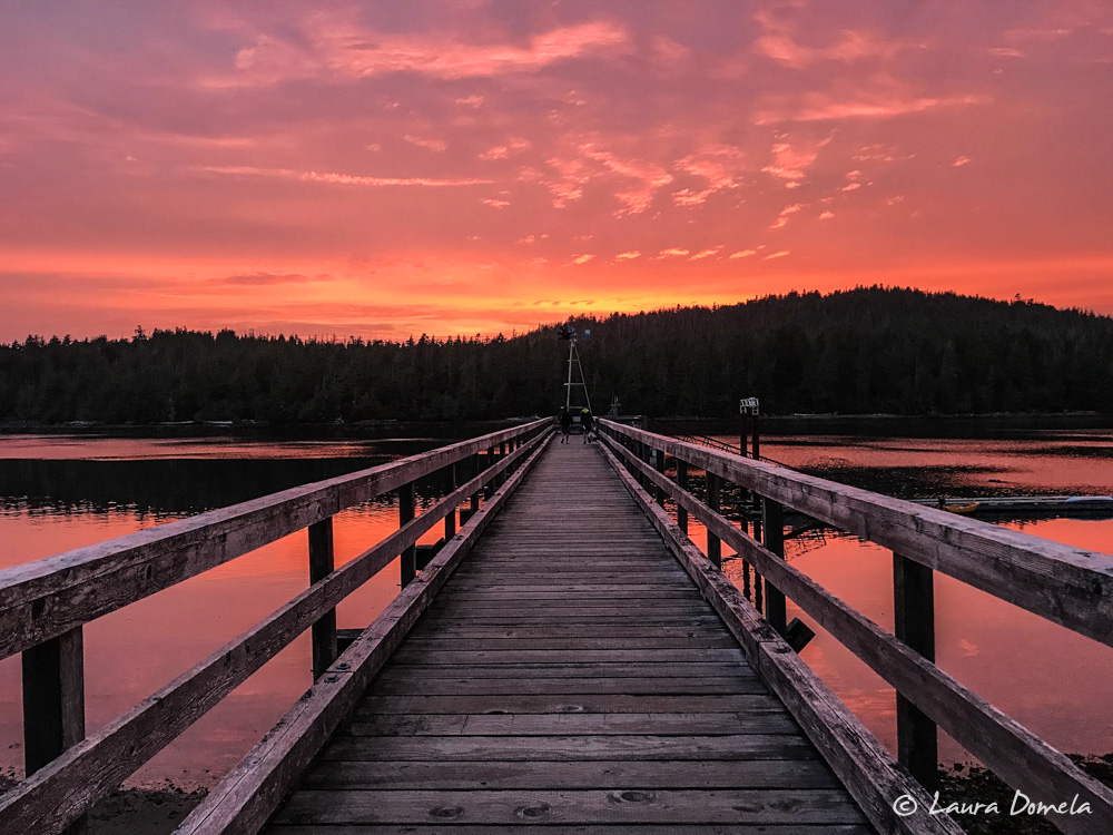
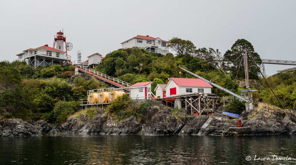
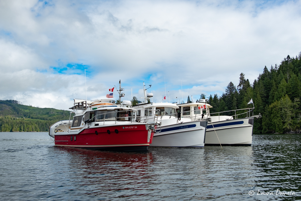
Dawn brought more fog but light winds and a lazy swell. With the tide low, we snuck out of Sea Otter Cove with a few feet (or inches for Epoch, which draws six feet) under the keels. The trip down the coast to Quatsino Sound was easy and uneventful. In July and early August, we saw a lot more traffic out here—mostly small sport fishing boats. This trip, the radar … Read more

Circumnavigating Vancouver Island Flotilla | Day 9 | Bull Harbour to Sea Otter Cove

With an extended forecast for good weather, we weren’t in a rush to get to Quatsino Sound. In fact, the forecast looked like the best day for rounding Brooks Peninsula—our next major hurdle after Cape Scott—is still a few days away. It’s enough time to spend a day at Sea Otter Cove, but not enough time to explore the inner part of Quatsino Sound. Our plan was to leave Bull … Read more

Circumnavigating Vancouver Island Flotilla | Day 8 | Port Alexander to Bull Harbour

After two nights at Port Alexander, we were ready to move on. The weather at Cape Scott still was a bit bumpier than we’d prefer, so we made the short trip to Bull Harbour. The next day looked better. In fact, the next day looked like the beginning of four days of light winds on the northwest coast of Vancouver Island. Perfect! Bull Harbour is the last good, all-weather anchorage … Read more

Circumnavigating Vancouver Island | Flotilla Day 4 | Cameleon Harbour to Forward Harbour

We’d hoped to make it into the Broughtons today, but the weather had other ideas. The typical summer weather pattern for Johnstone Strait is relatively calm mornings followed by building northwesterly winds in the afternoon and evening. Once the sun goes down, the northwesterly usually diminishes. Today, though, the northwesterly was blowing in the morning. The Chatham Point lightstation reported 25 knots of wind and four foot moderate. Fanny Island … Read more

The Strait of Juan de Fuca | West Side of Vancouver Island

We’ve written about many of the weather trouble spots on the west side of Vancouver Island already: Cape Scott, Brooks Peninsula, and Estevan Point. For southbound travelers, the Strait of Juan de Fuca is the final hurdle. The challenges are many: ocean swells at the west entrance, strong currents throughout, traffic, and the 100nm distance. There are at least seven weather forecasts to digest for this leg of the trip: … Read more

Bamfield | West Side of Vancouver Island

Bamfield is a tiny town separated into two halves that border Bamfield Inlet. The east side is connected by road to the rest of Vancouver Island. The west side is on Mills Peninsula and is accessible only by boat. All the buildings on the west side are accessed via boardwalks. It’s a charming little town! We tied to the government dock on the west side and took off on foot … Read more

Estevan Point and Hot Springs Cove | West Side of Vancouver Island

Continuing south from Friendly Cove requires rounding Estevan Point, one of the significant headlands on the west side of Vancouver Island. The forecast for today sounded acceptable—wind light, building to west 15-25 knots in the afternoon and northwest 25-35 knots in the evening. We planned to head for Hot Springs Cove, about 28nm or four and a half hours away. Given the forecast for deteriorating conditions, we planned to head … Read more

Friendly Cove (Yuquot) | West Side of Vancouver Island

From Nuchatliz we took the inside route through Esperanza Inlet, Hecate Channel, Tahsis Narrows, and Cook Channel to Friendly Cove (“Yuquot” in the native language, which reportedly translates to “wind comes from all directions,” which we’ll get to later.) Overnight, Environment Canada changed the forecast from light winds to 15 knot south winds. Although conditions on the outside didn’t sound terrible (nor did they sound great), adding three miles to … Read more