
A bit of a teaser for some news we’ll be announcing soon: Kevin is doing the final edits on a novel he wrote (mystery, thriller, historical fiction) that is set in the area we are now exploring. The inspiration for the book came from our visit in 2016, when we went in search of a place called “Radioville” where a guy named Joe Bauer ran a radio outpost in the 1930s to facilitate communications between the gold mining operations here and the rest of the world.
Here is the post from 2016, when we originally went to find “Radioville” based on a tip from a guy on a barstool in Rose’s Bar, when the old radio shack was still standing (barely).
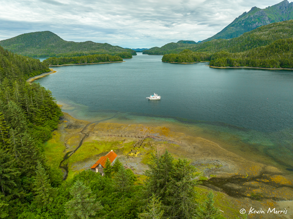
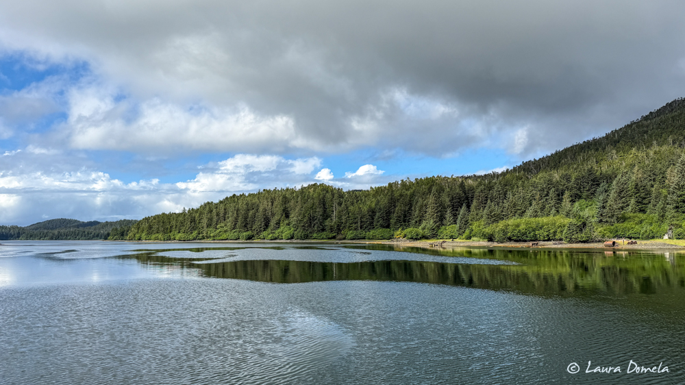
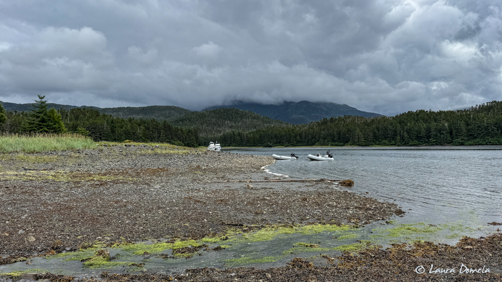
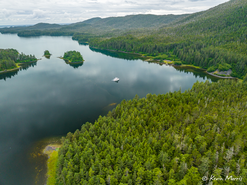
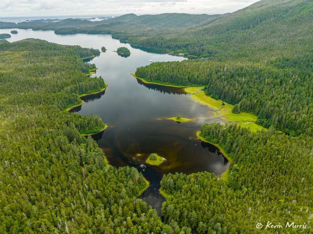
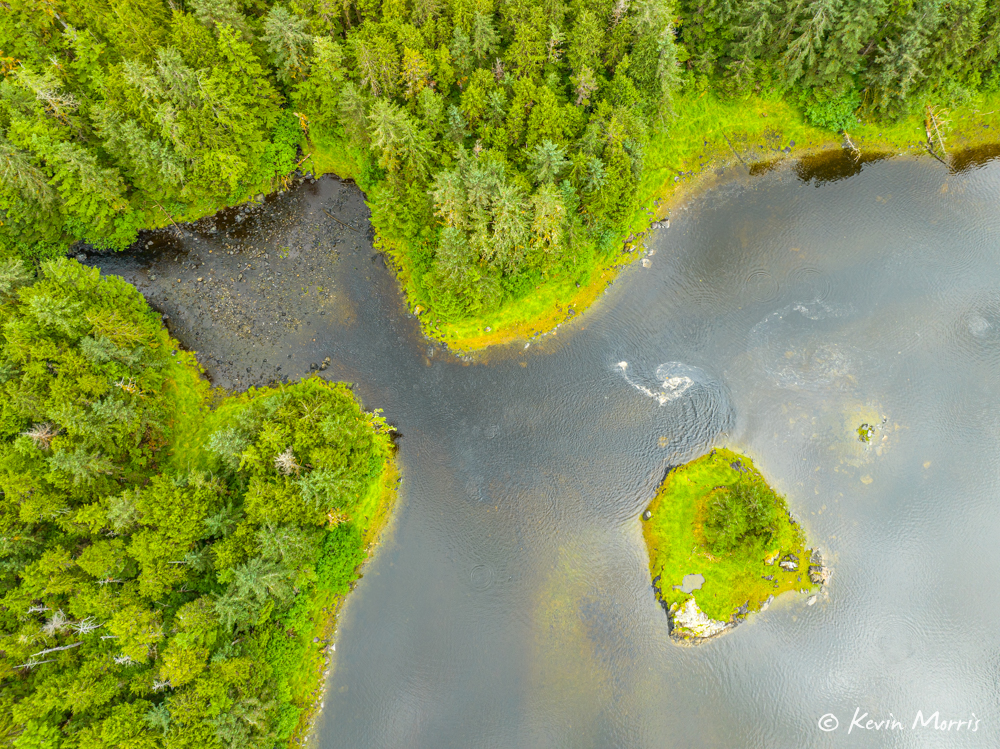
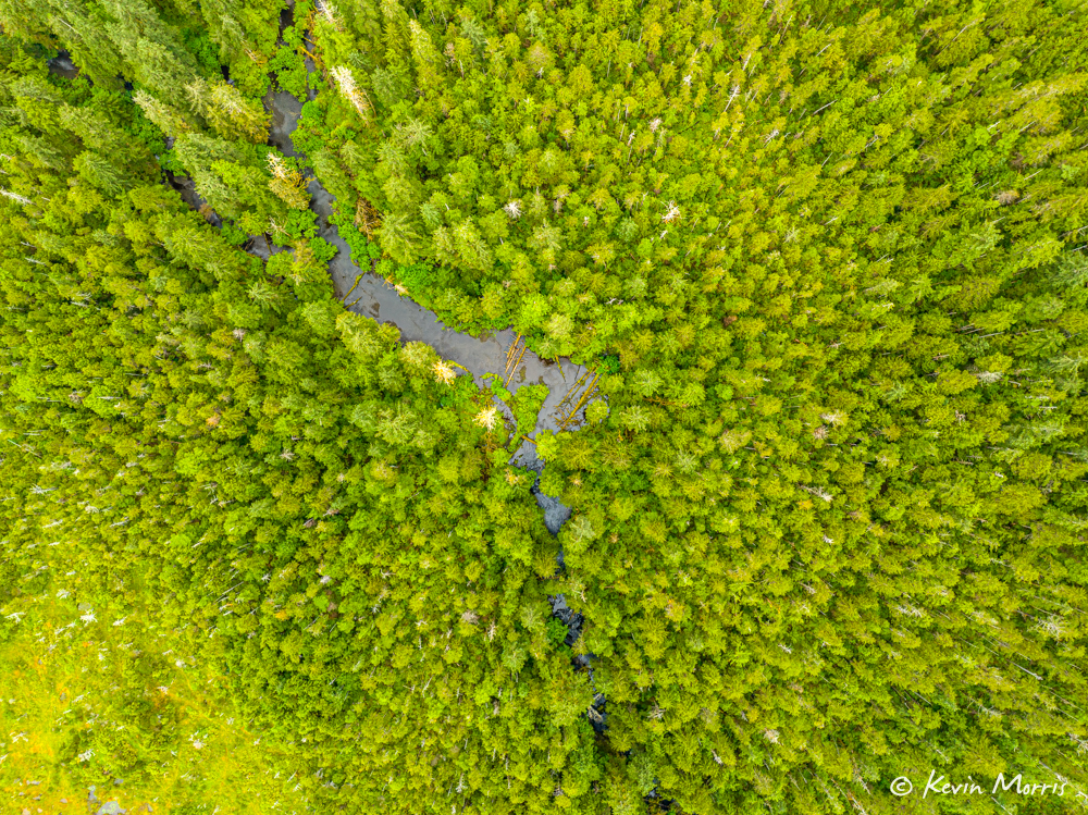
Yesterday, before we left Kimshan Cove (where there was a major mining operation in the 1930s) Kevin took the drone up for some aerials.
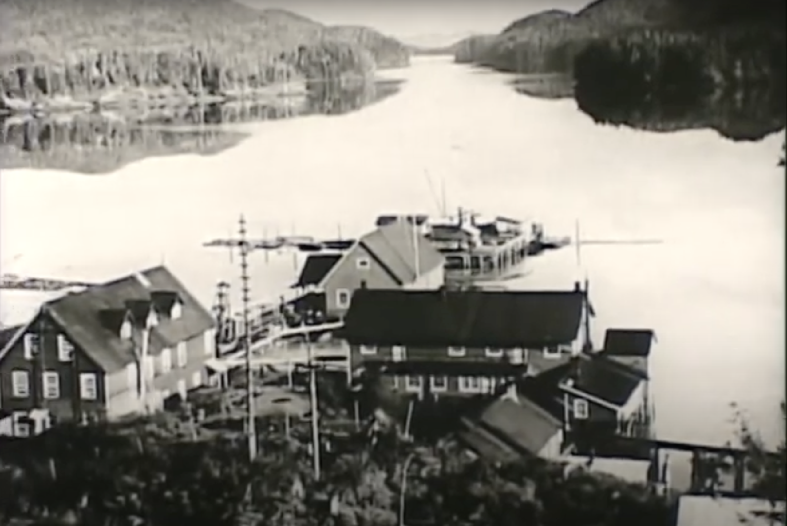
Referencing one of the historic photos of Kimshan Cove from the film we shared yesterday, Kevin took this shot from behind the mine ruins out toward where we were anchored, for a rough “then and now”.
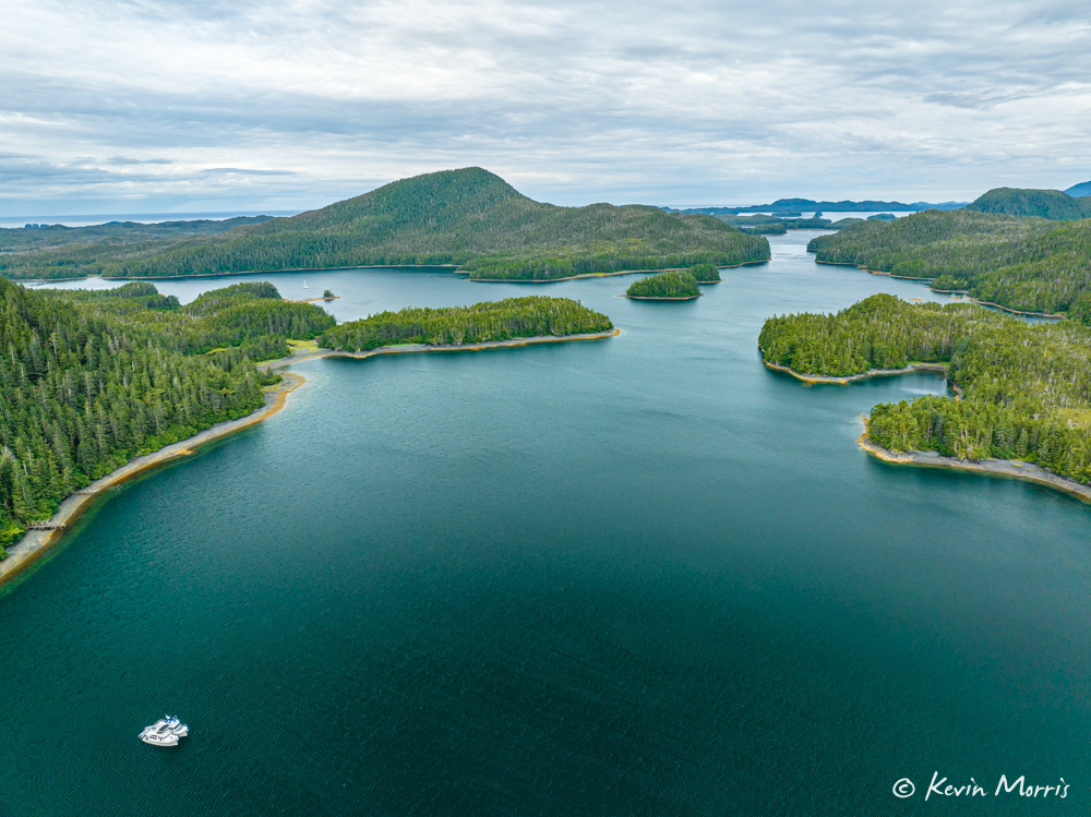
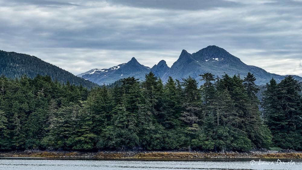
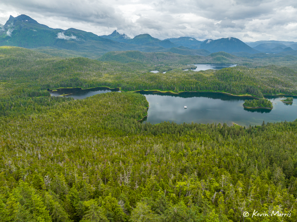
Below is Doolth Mountain, taken as we left Kimshan Cove en route to Klag Bay (on the other side of Doolth mountain). Doolth Mountain holds the large gold deposits that were discovered here in the late 1800s, and there were mines on each side of the mountain – one in Kimshan Cove, and one in Klag Bay.
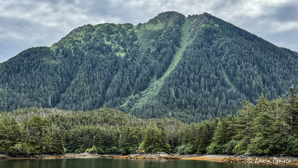 Doolth Mountain
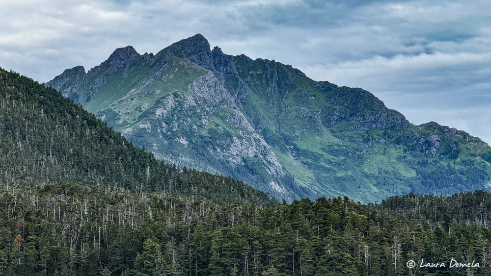
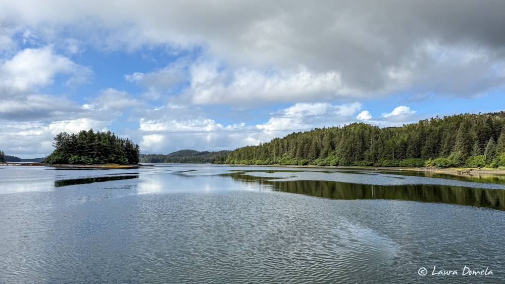
Very nice of the clouds to clear a bit today so we could see the tops of the landscape.
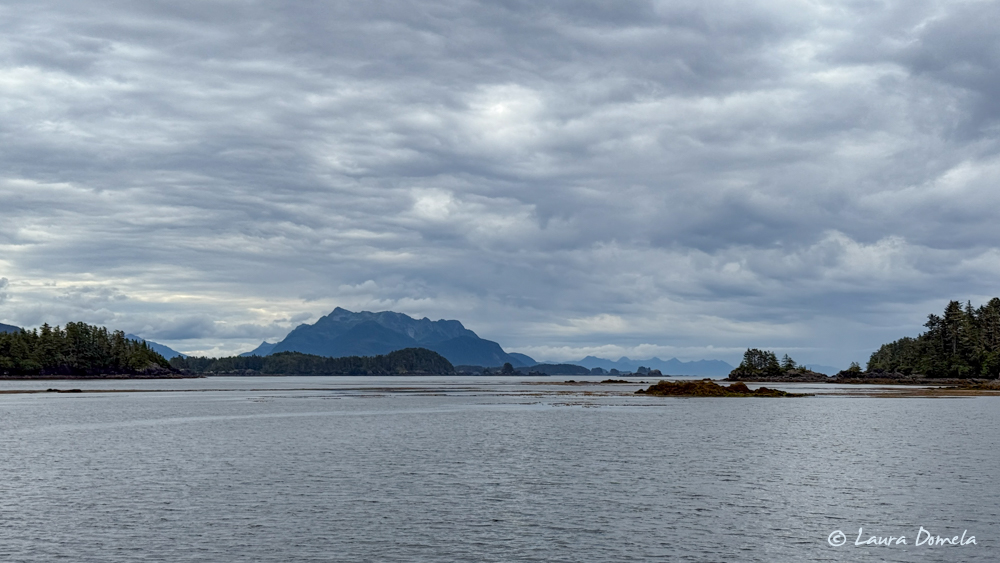
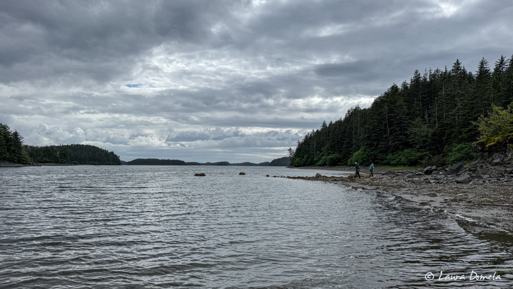
We love being on the outside of Chichagof Island again. This rugged coast is so beautiful and feels intensely remote but with such a rich history of the hard work of humans as they mined and fished (and still fish) this land to make a living or feed a dream.
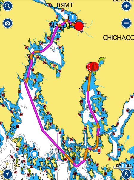
Here’s a quick screenshot from my Navionics app of the route we took from Kimshan to Klag:
After we anchored in Klag Bay yesterday, Kevin went out to troll for a short bit in the afternoon and came back with this fun video of some sea lions defending their turf. Look how many of them there are!!
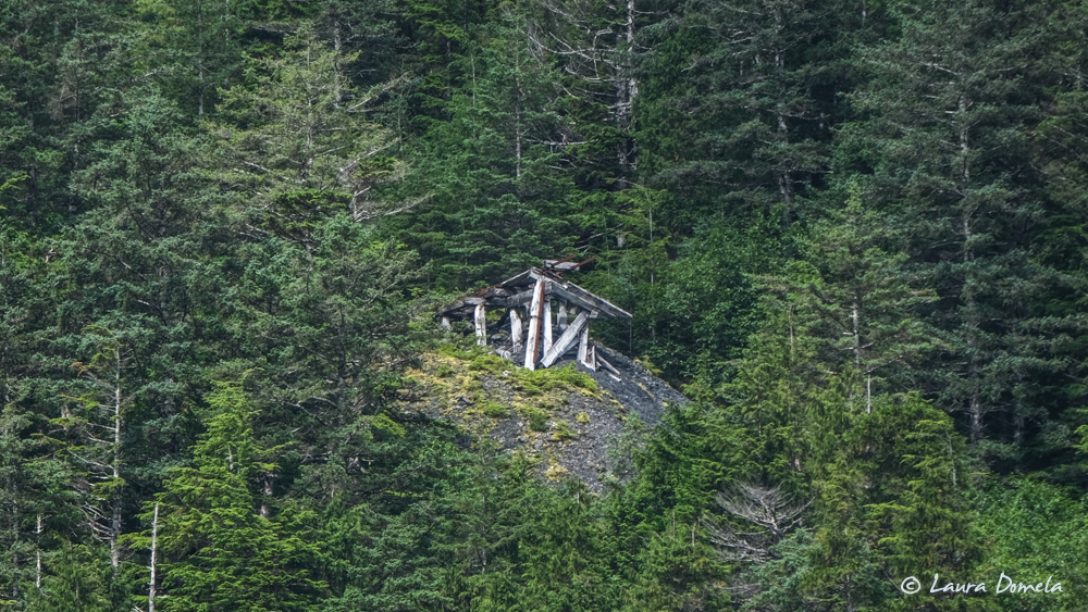
Some of the mine ruins way up on the side of the mountain…not sure if we’ve seen this on prior visits. Guess I should check the blog! Long lens shot, taken from the boat:
This morning we got some fluffy clouds and blue sky. Looks like the wind is picking up today so we’ll stay put and head south down the outside tomorrow.
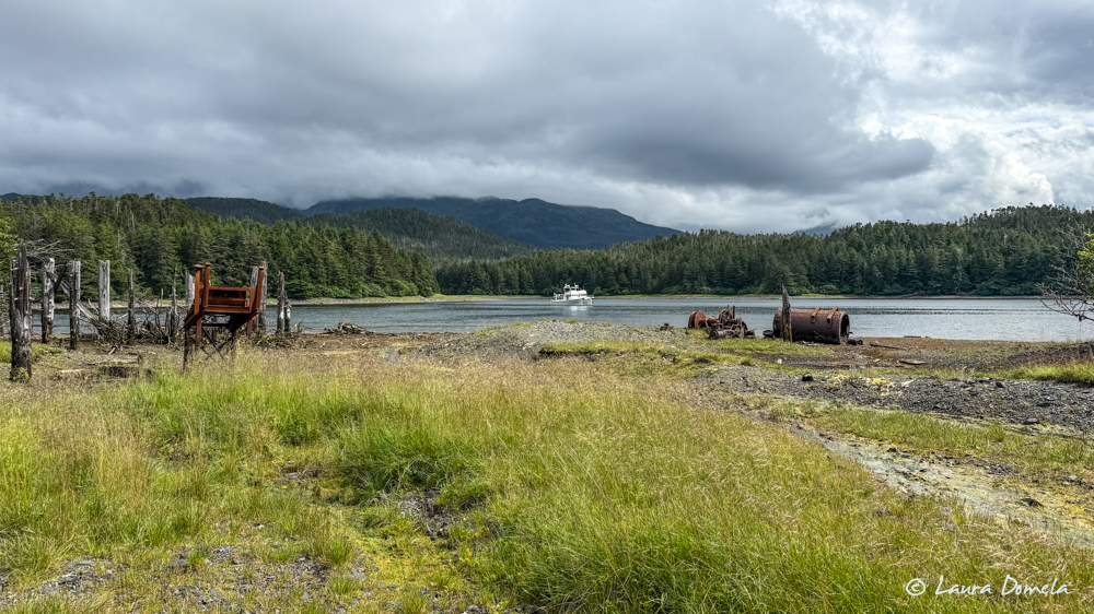
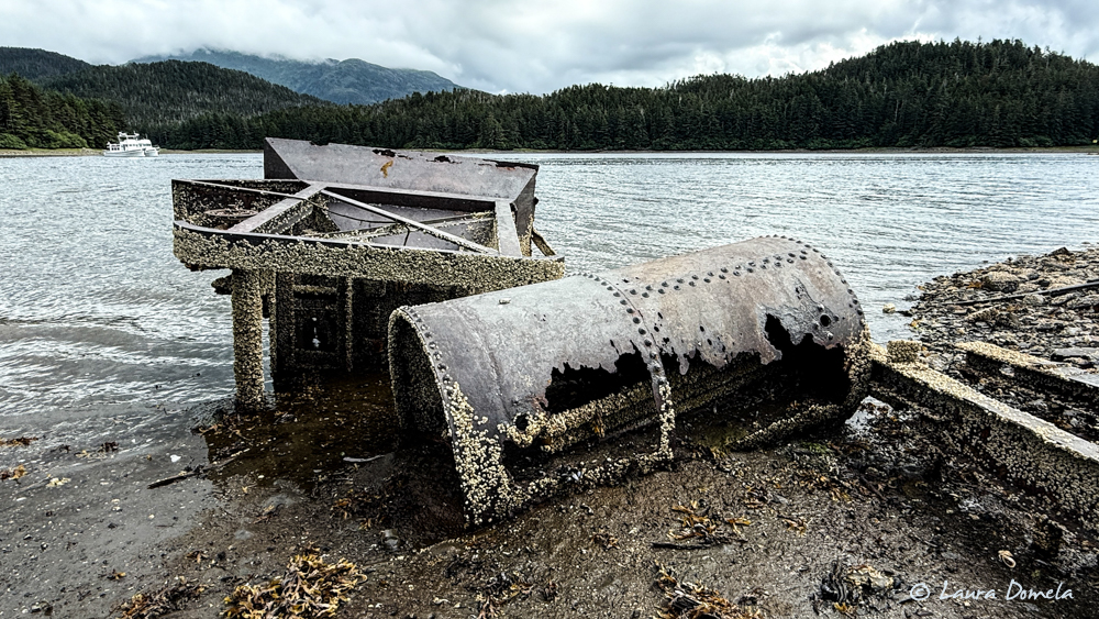
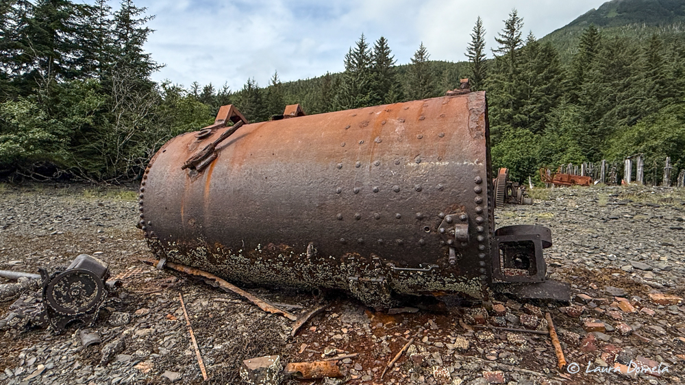
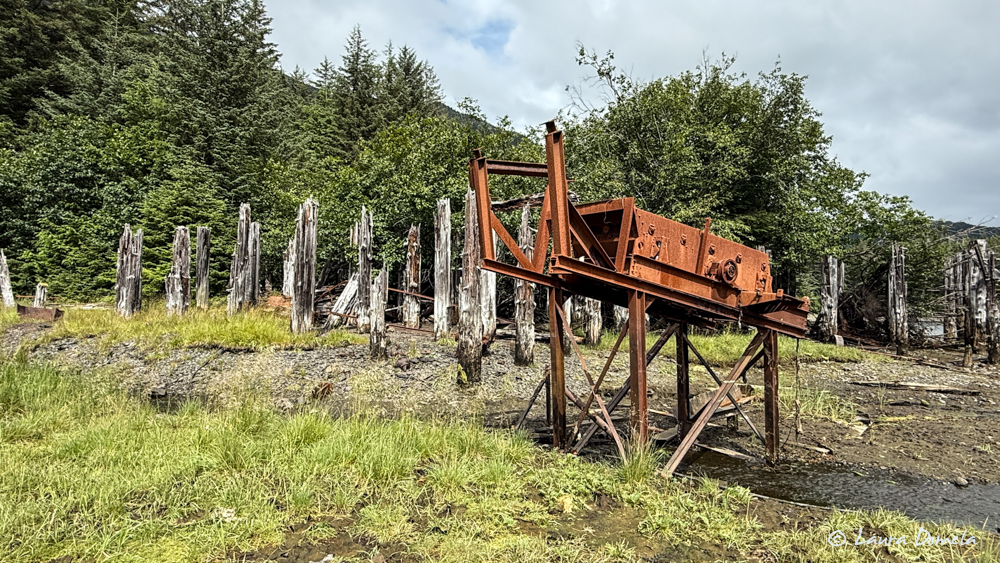
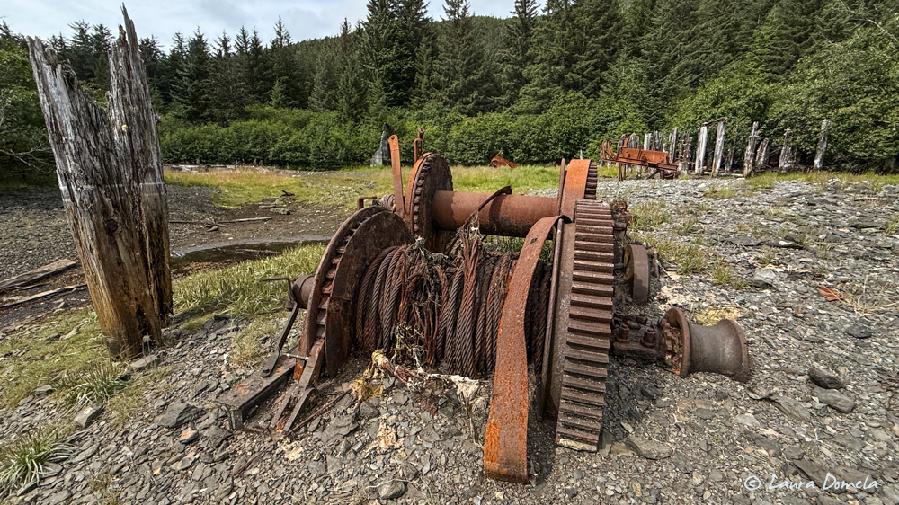
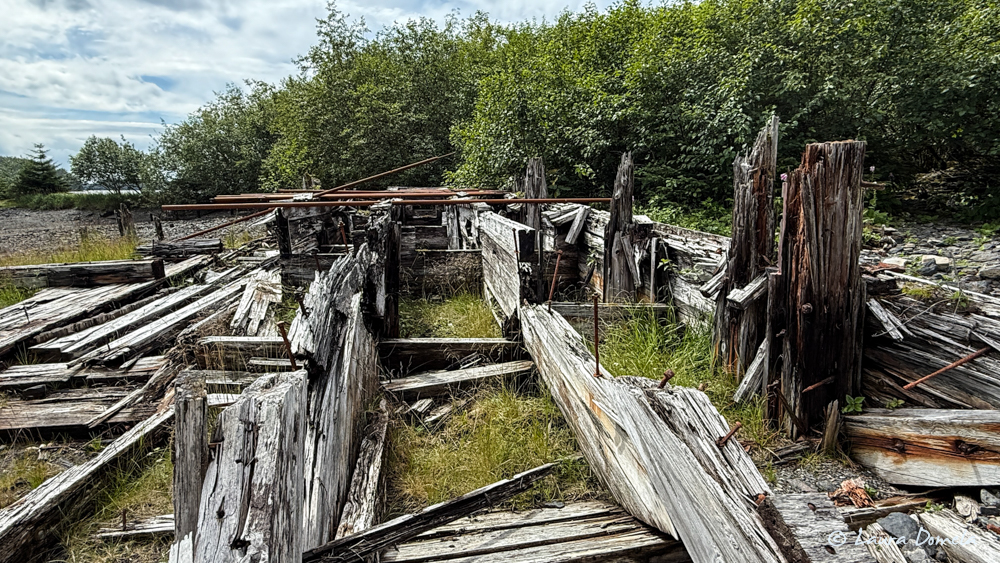
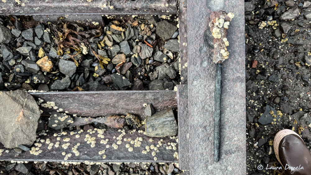
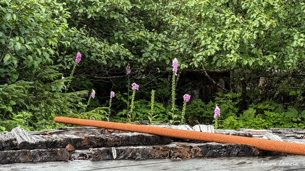
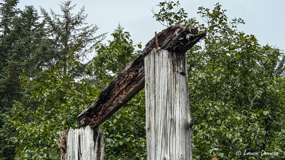
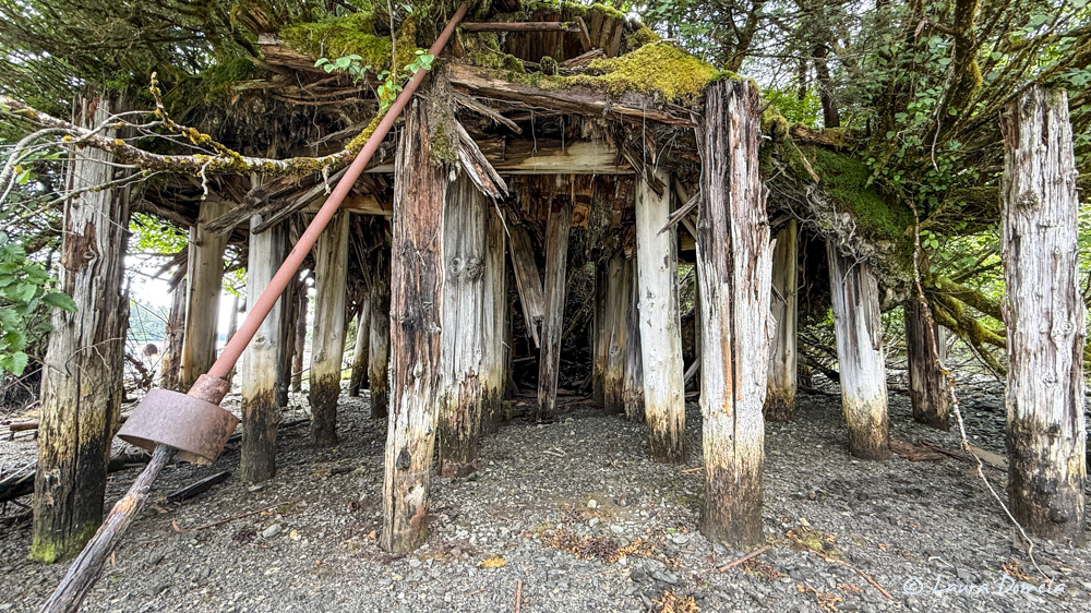
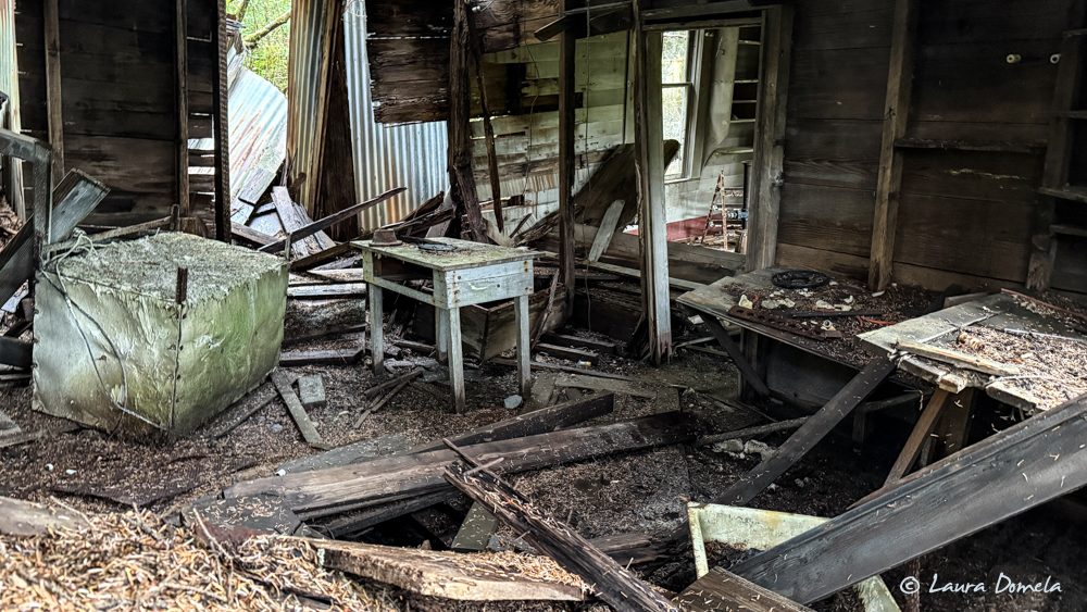
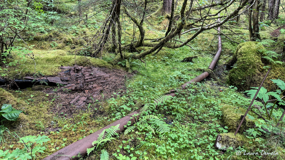
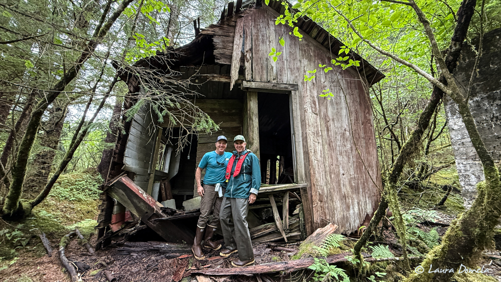
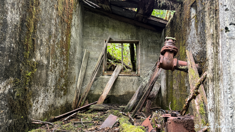
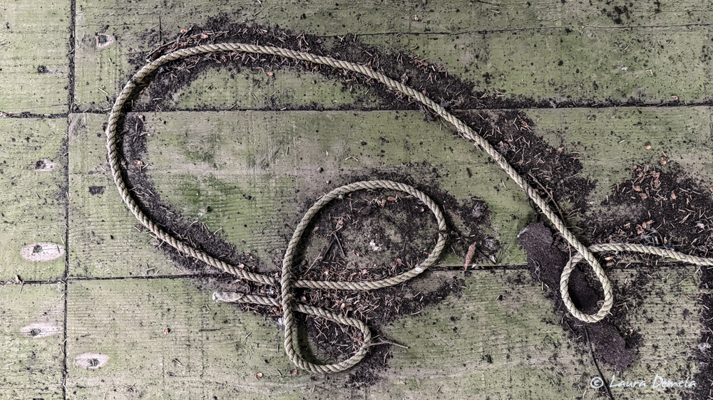
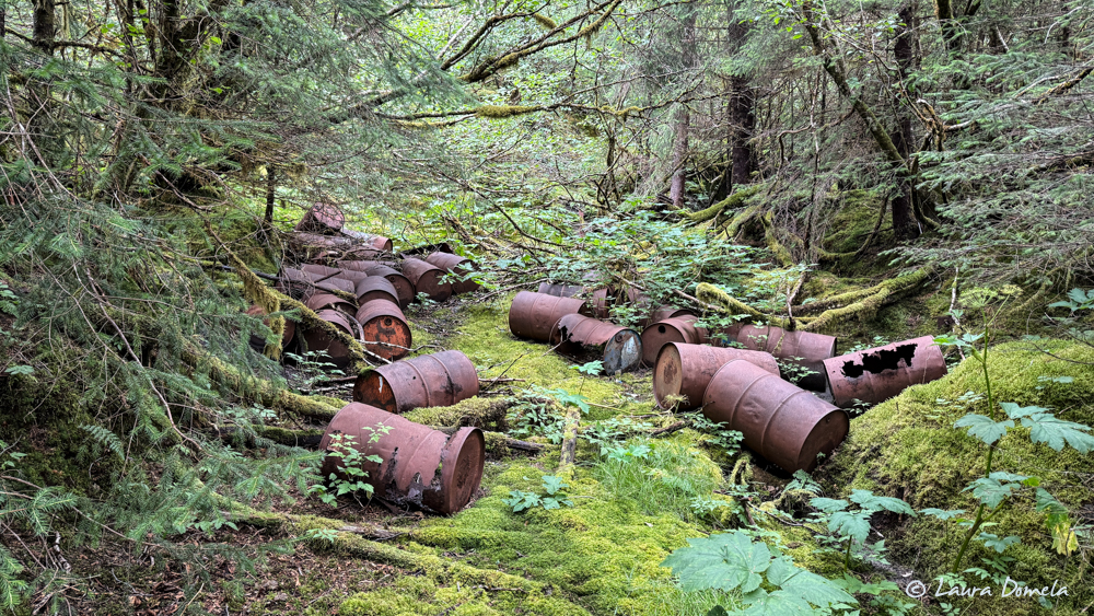
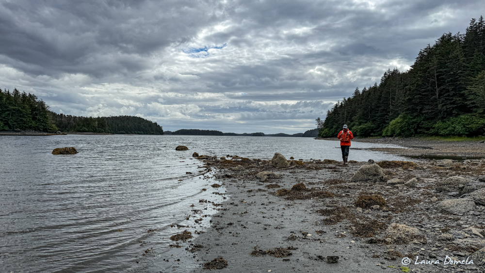
Closer to low tide, the four of us went ashore to explore the ruins of the old Hirst Chicagof Mine here in Klag Bay. We carried bear spray and made a lot of noise (much easier to do with four people). Took a ton of photos, and explored further back in the woods than we ever have before. There’s SO much back there! Here are way too many photos from our little adventure:
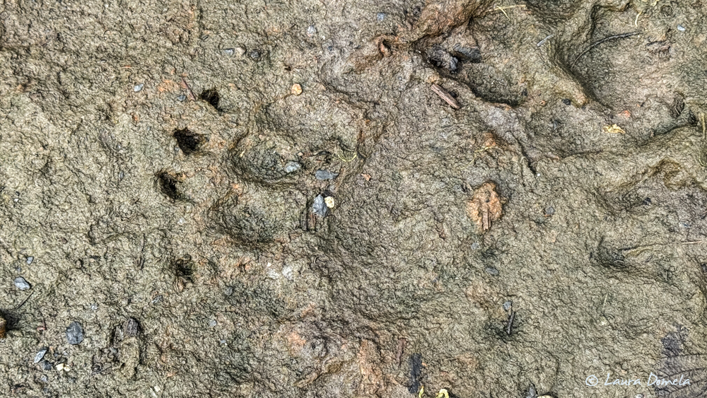
We saw some bear scat (not fresh) on the beach in a few spots, and this one paw print (plus some deer hooves and dog paw prints from an earlier boat dog on shore):
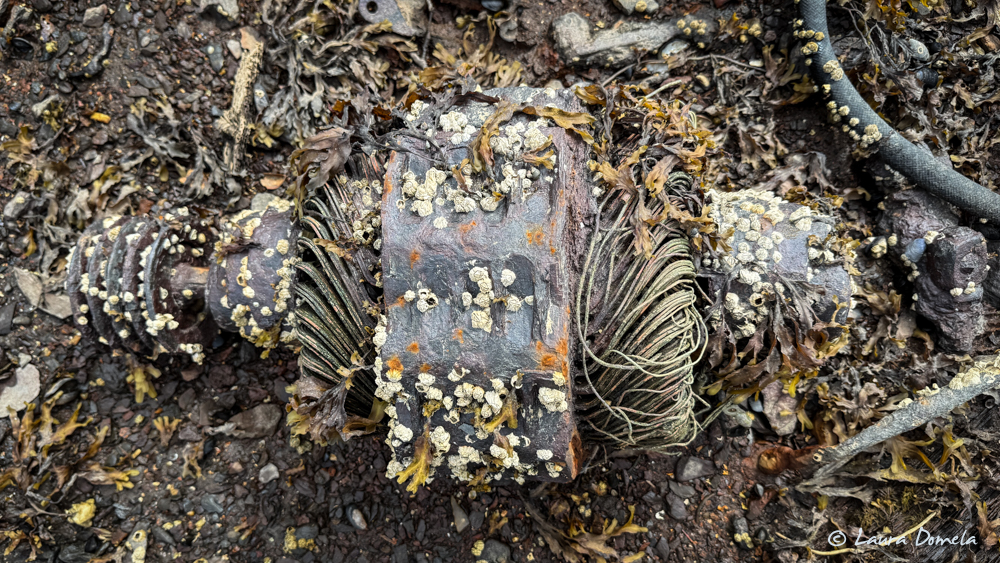
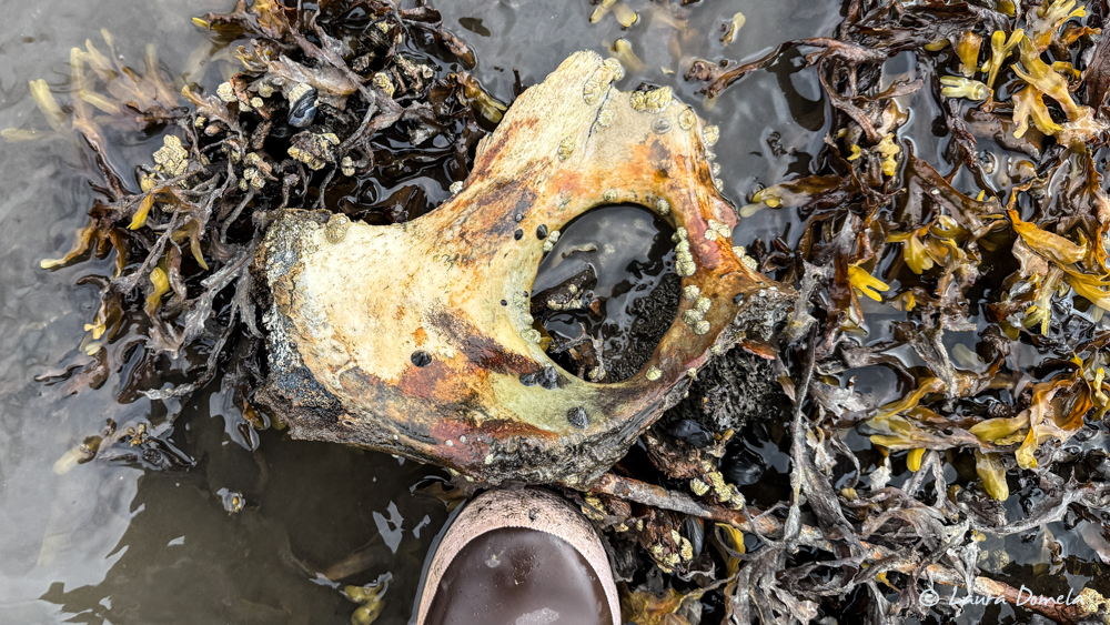
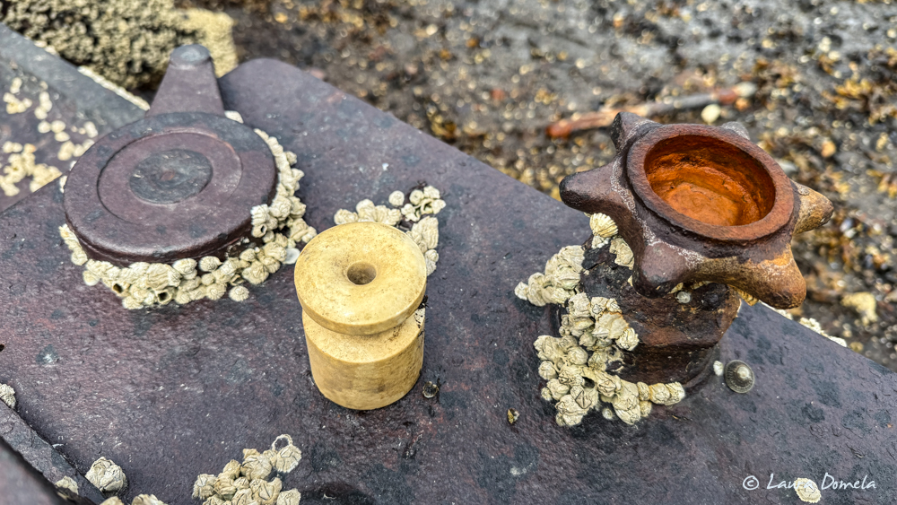
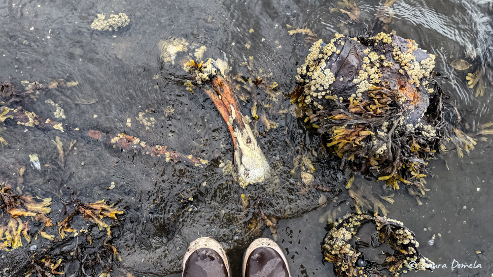
Quite a few bones around this shore as well…likely from hunters since some of them were clearly sawed.
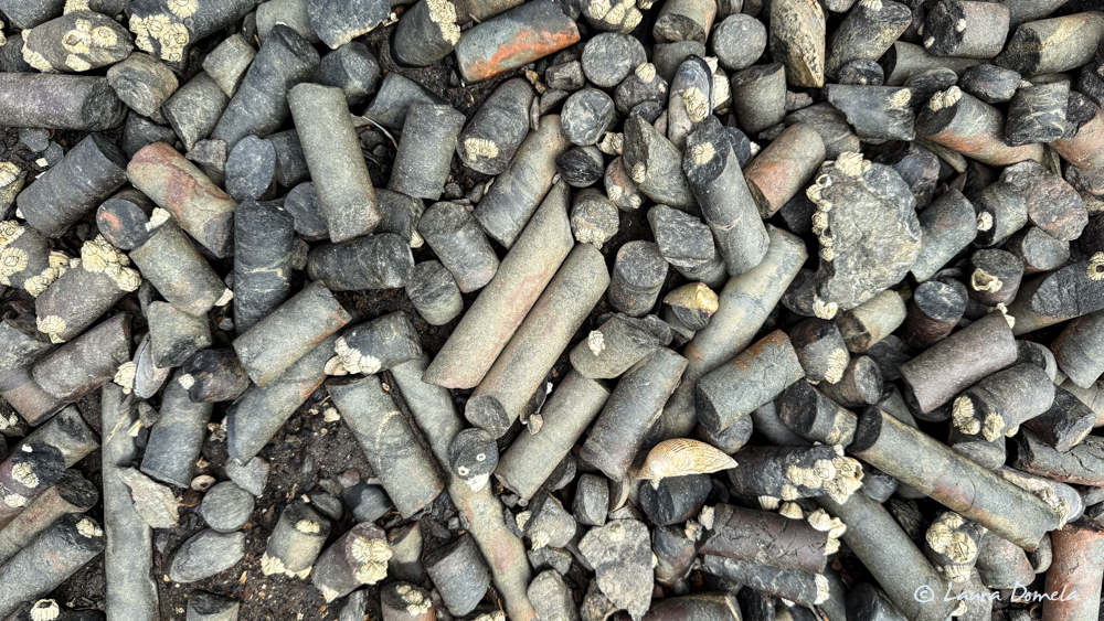
Core samples:
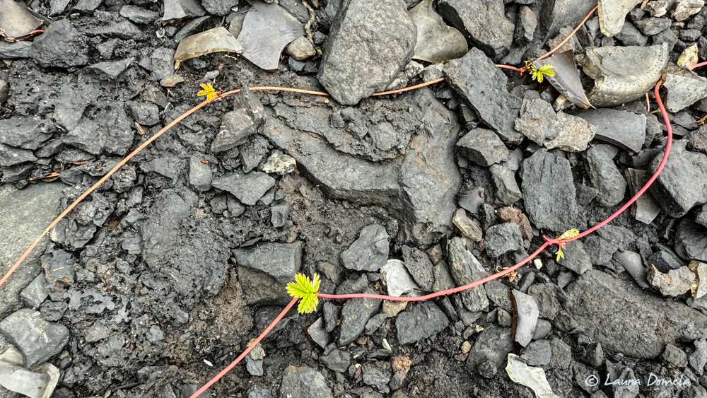
Ambitious little vine:
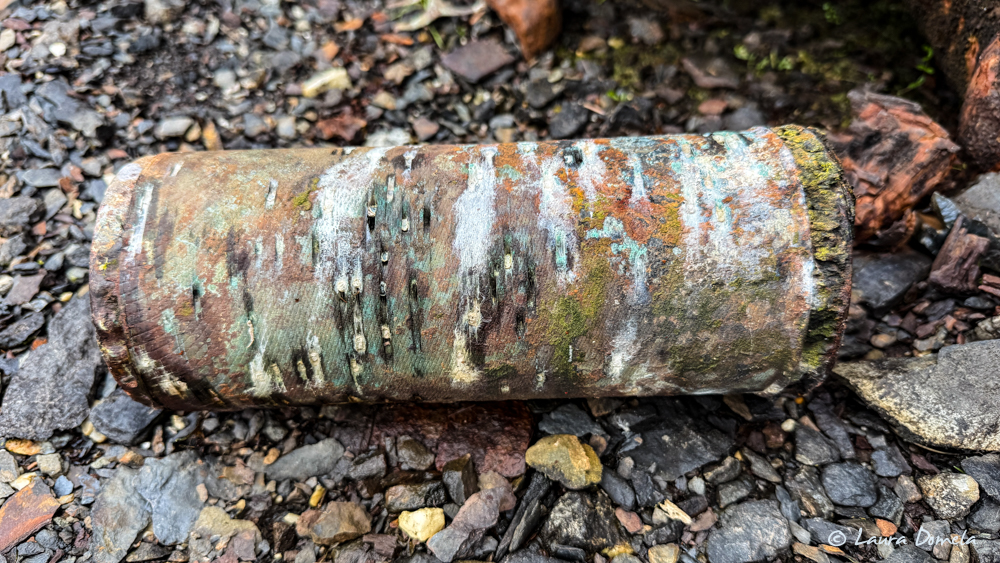
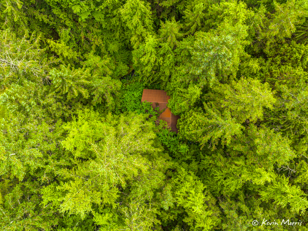
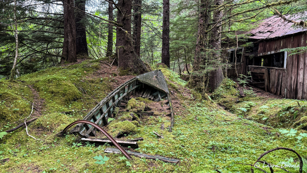
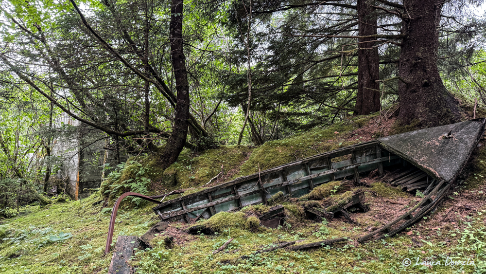
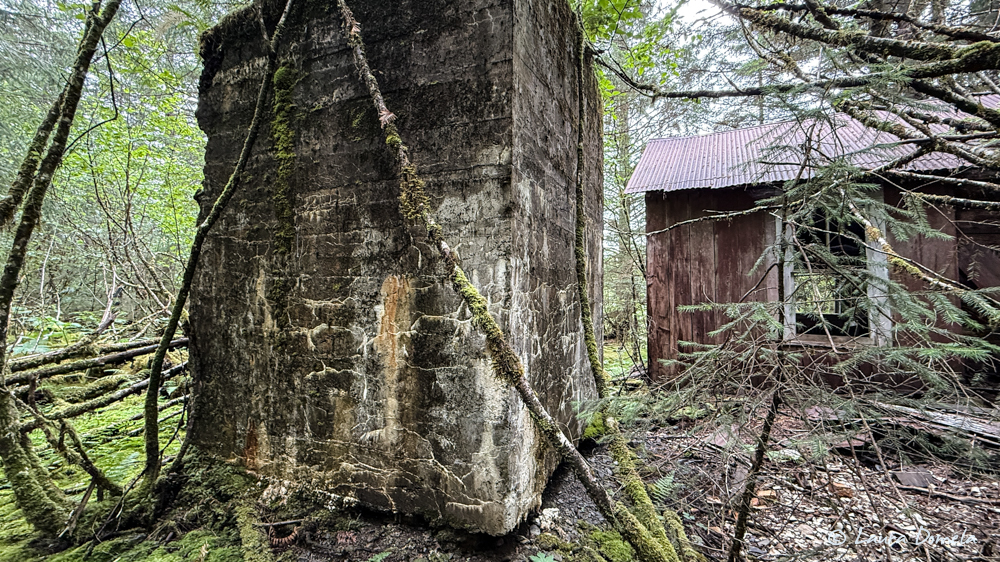
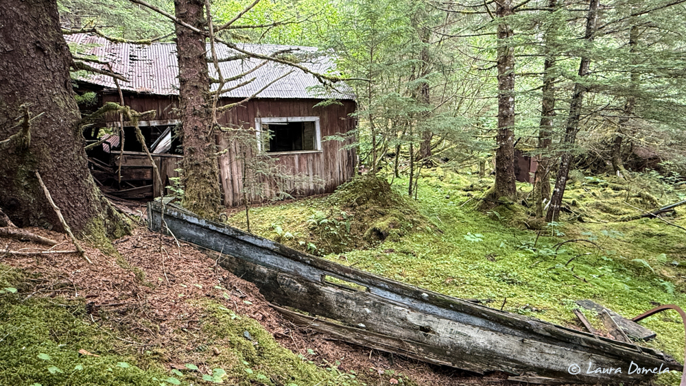
Just into a woods a bit we found this old wooden boat and a structure:
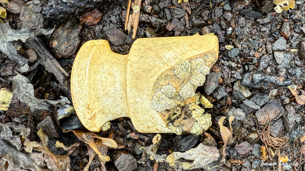
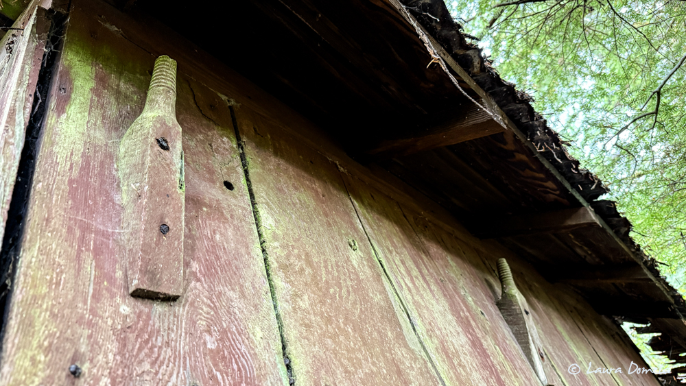
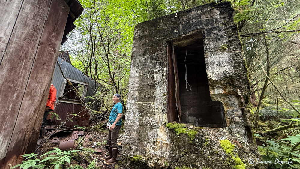
The structure had several of these shapes attached to the outside walls. Google Lens tells me they’re glass insulator pins. A glass insulator screwed onto the top and the electrical wire passed through or around it. Cool!
Definitely more than two people feels good for exploring because we can all yell back and forth (loud for the bears) about what we’re finding.
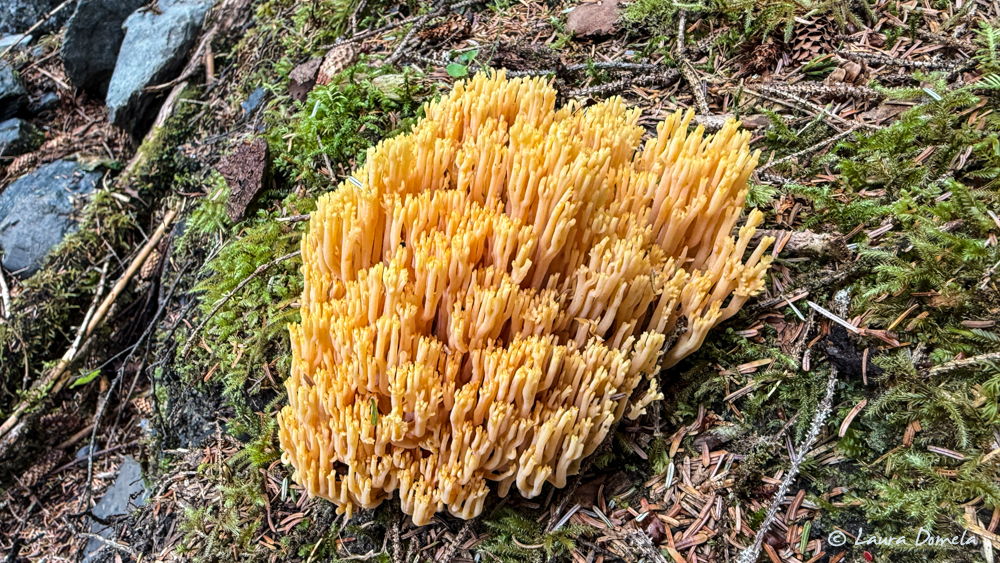
Google Lens tells me this is a coral fungus called Ramaria Stricta:
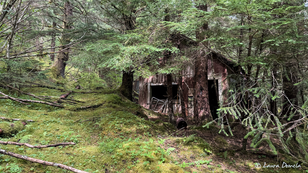
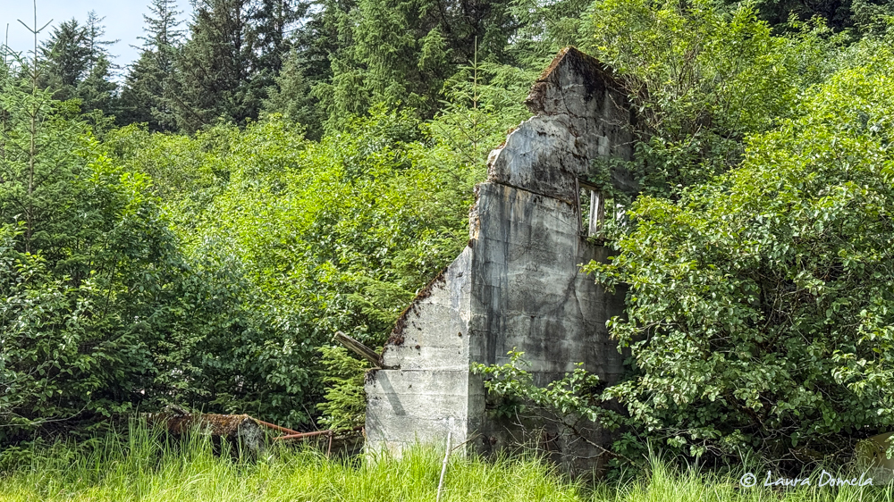
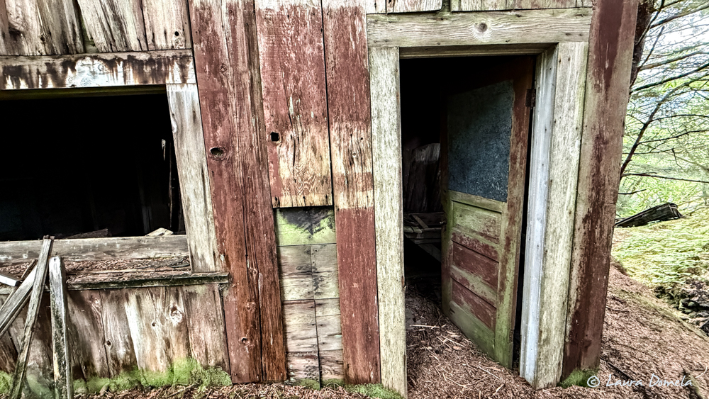
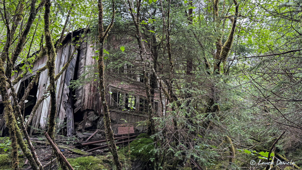
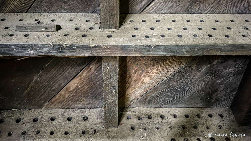
A little further into the forest and we came upon the biggest structure yet:
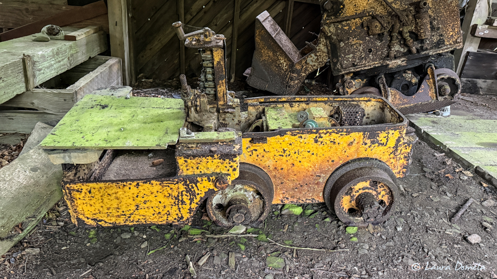
We think these were the little mine cars that we saw in the video we posted yesterday.
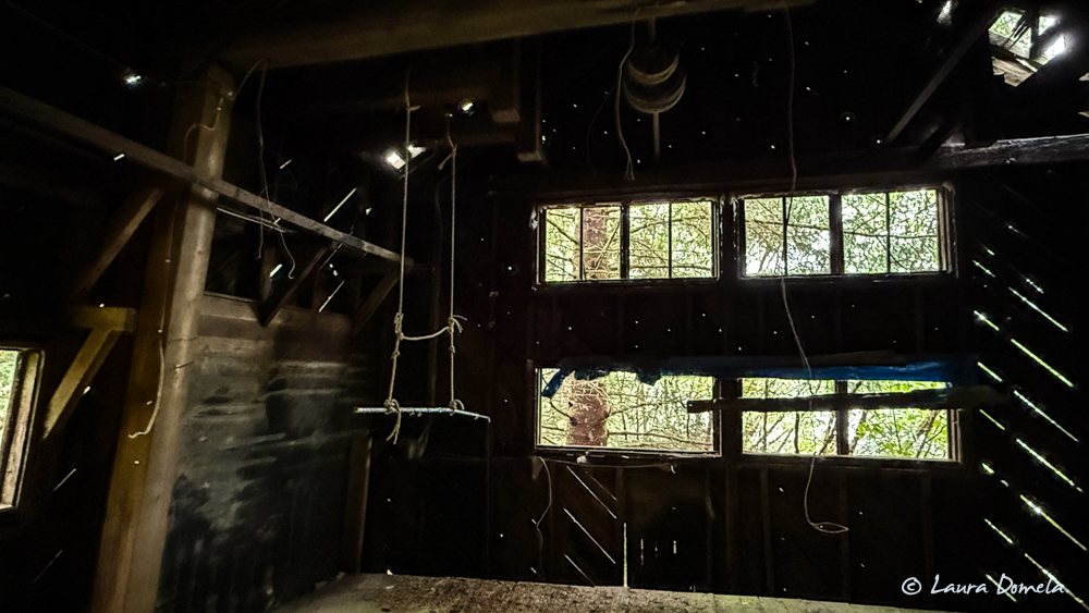
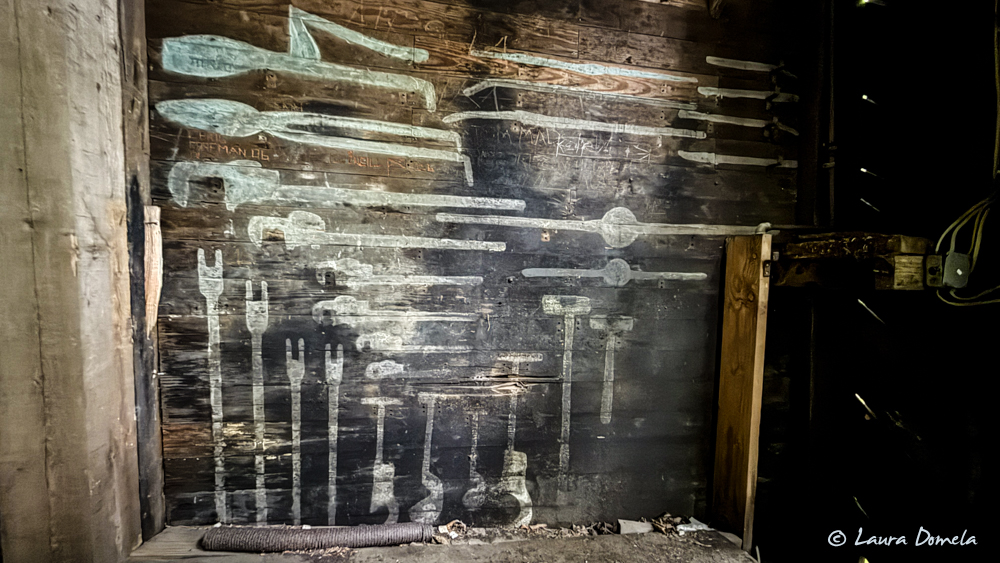
Nice pre-pegboard tool wall!
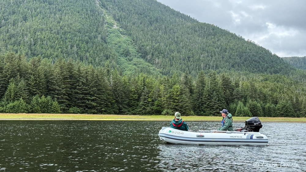
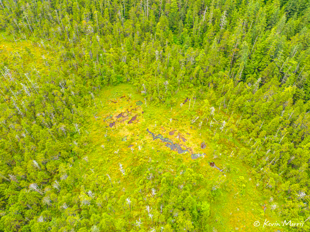
Super fun exploring! We dinghied back toward the head of the bay where there were hundreds of fish jumping and heading upstream. Surprisingly, we saw zero bears. With all those fish in the shallows and already heading upstream we’d really expect to see a bear or ten. There was a lot of gull and eagle action, but no bears. We figure there must be a better place farther up the stream.
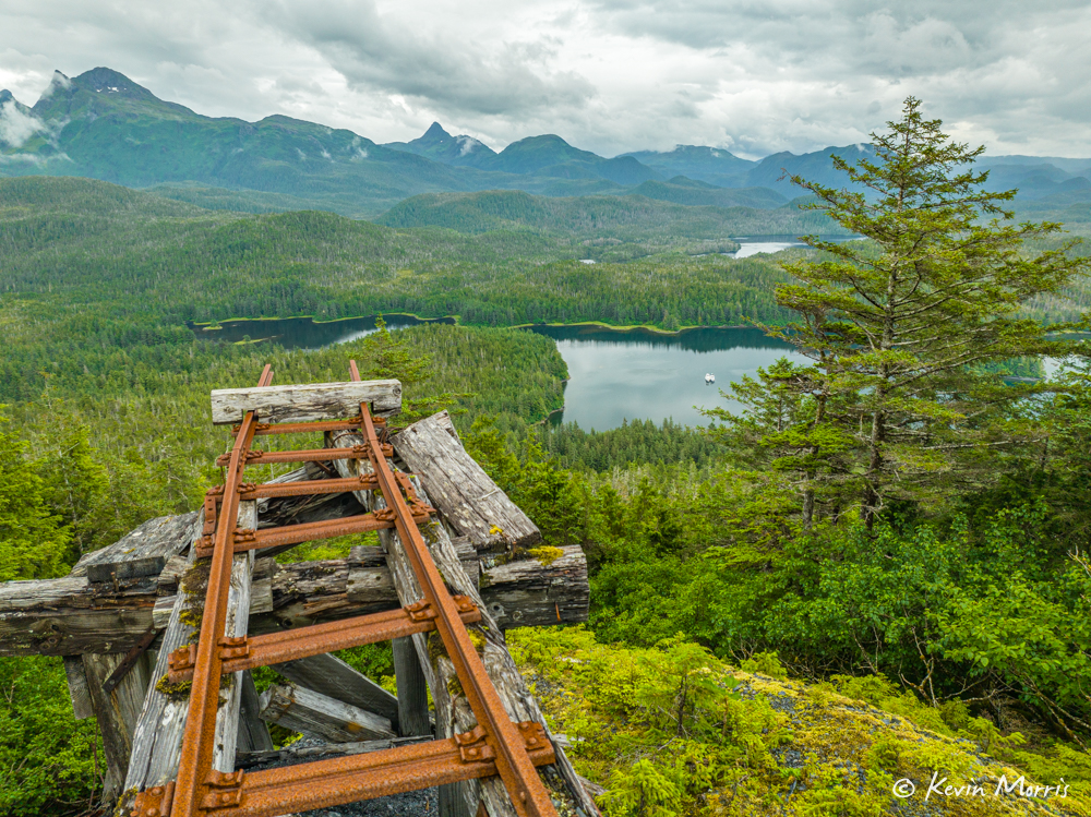
So if today wasn’t photo-rich enough, Kevin took the drone up this afternoon to see if we could get a better look at whatever was way up high on the side of the mountain above the mine ruins (almost 700 feet). All we could tell from the zoom photo was that there was wood and metal, but that’s it. The Mavic 3 Classic (with a Hasselblad camera!) gives us way more detail.
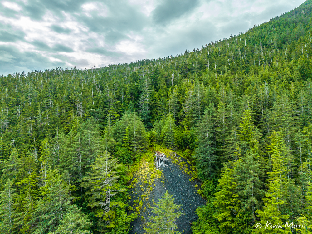
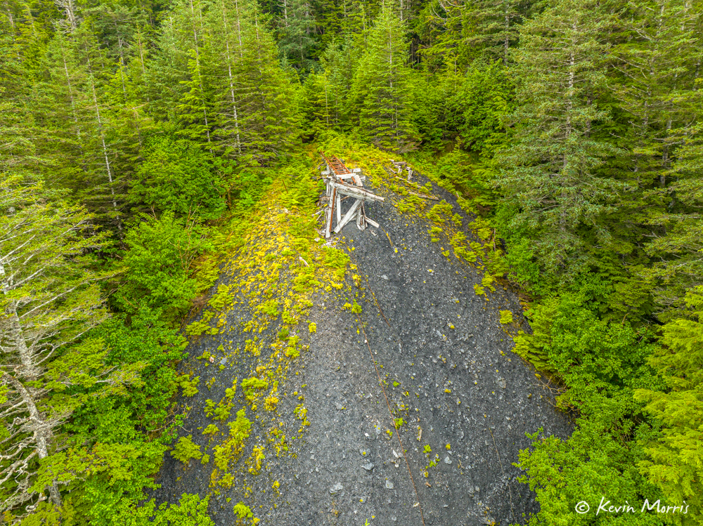
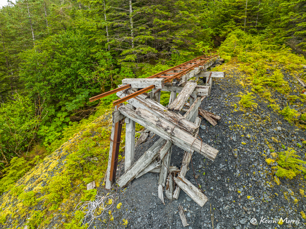
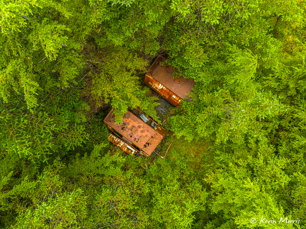
We also found these two structures in the woods behind this railway structure:
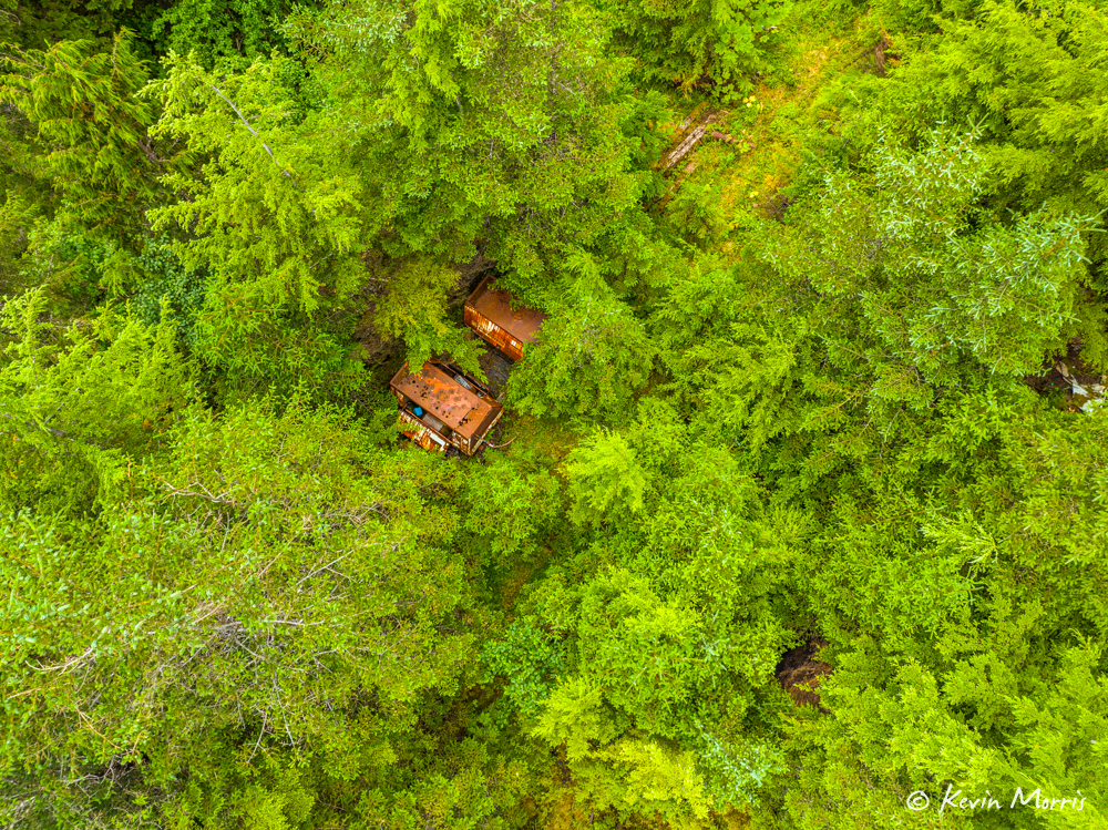
We did a lot of “zoom in and enhance” with these photos, and there appears to be a modern battery in the back of the lower structure…so perhaps either some recent geological survey or some rogue mining activity!
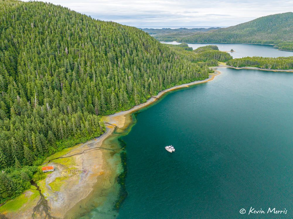
I love this shot with our boats rafted down in the bay:
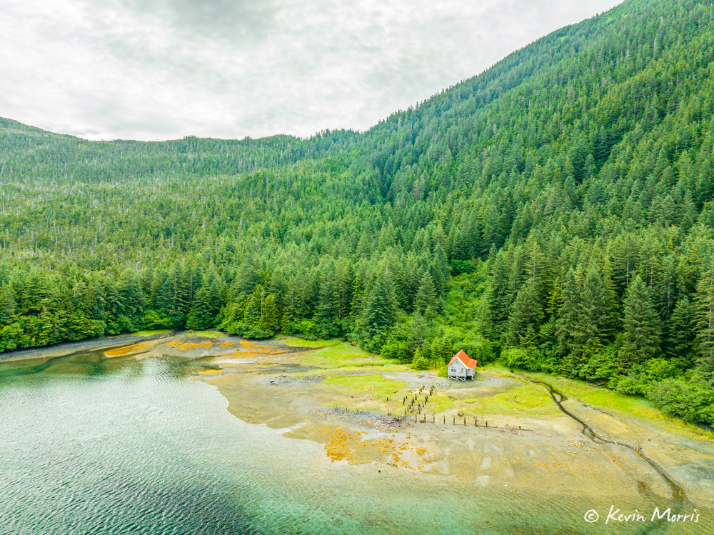
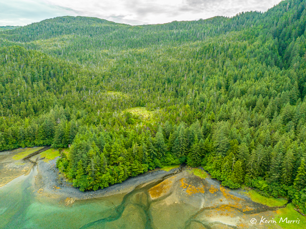
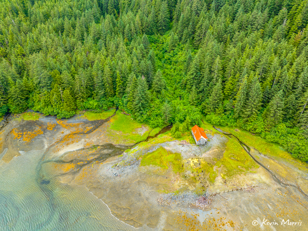
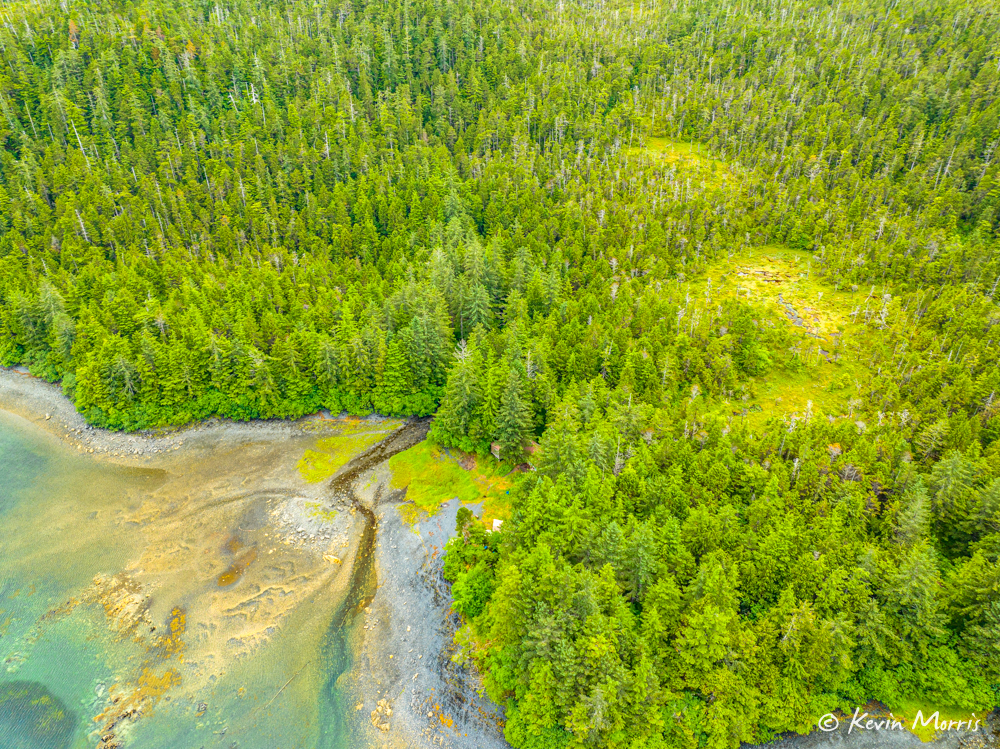
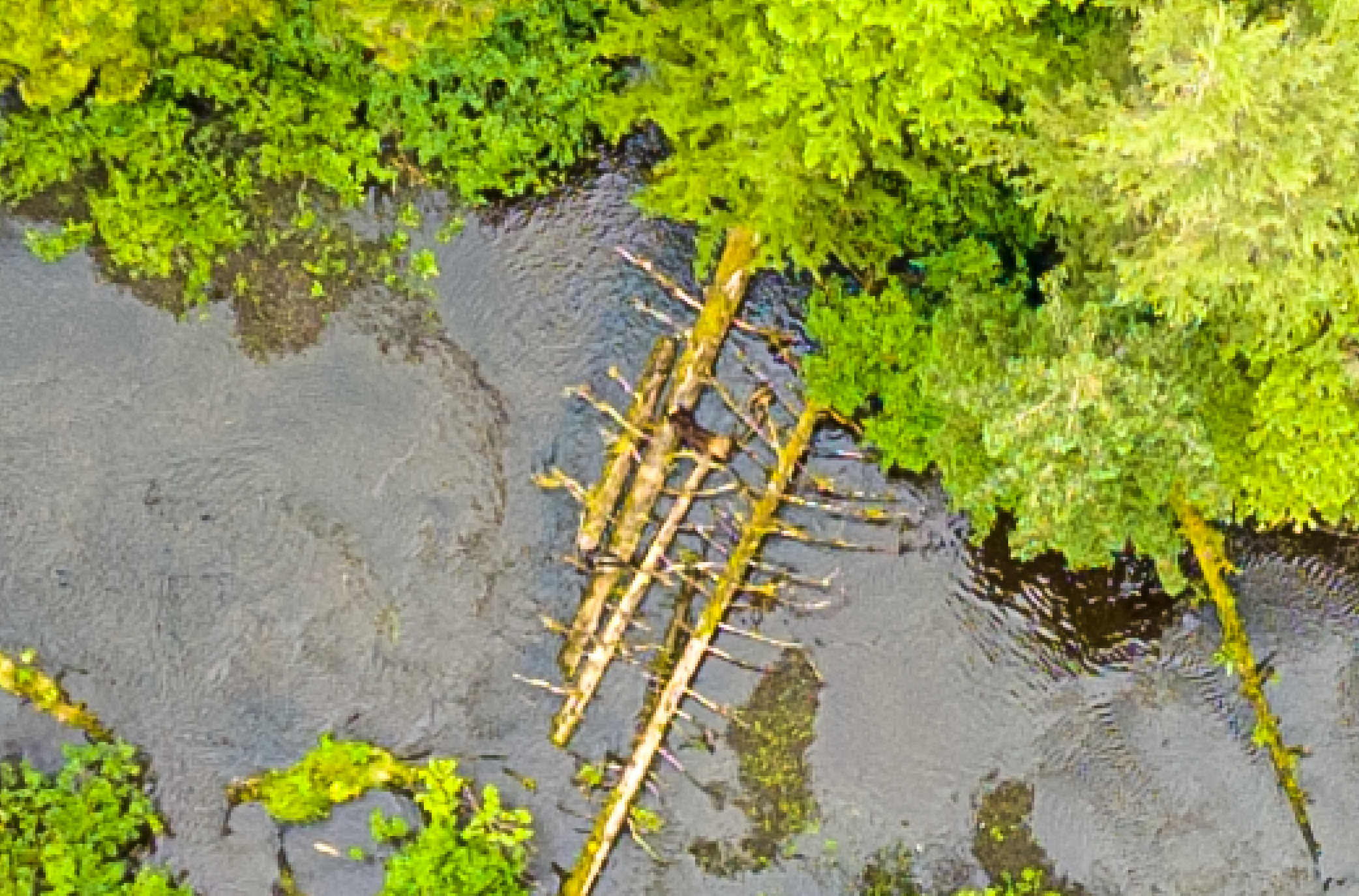
Next he took the drone over to the head of the bay to explore where the salmon stream went (and if there were any bears).
In this photo, when we zoom in, I think there’s a bear.
I think that’s a bear, walking across the logs:
Such a gorgeous place, and such a fun visit!