The most challenging part of cruising on the west side of Vancouver Island is weather. The typical summer weather pattern is calm, cool mornings followed by clearing and warming in the afternoon. Fog is frequent. As temperatures climb, a northwesterly breeze fills in and conditions can get rough. By September, this pattern is more often disrupted by cooler, cloudier, wetter weather and moderate winds from the southeast. When Environment Canada calls for northwesterly winds, mornings are often fine for travel. But when they predict southeasterlies, mornings are often no calmer.
Within each sound, the outside weather conditions aren’t that big a deal. But between the sounds—out in the ocean—moderate winds make for seriously uncomfortable conditions.
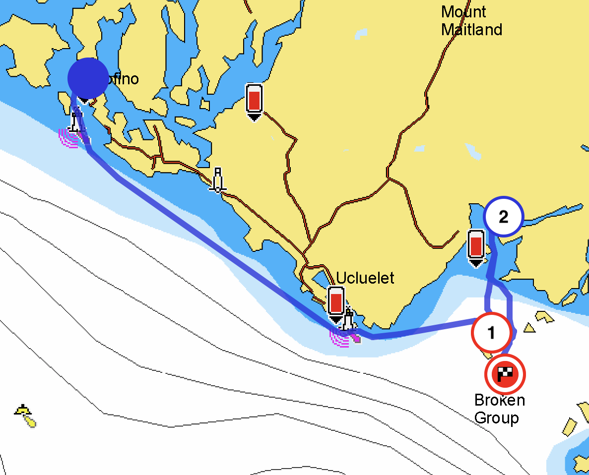
We’re not on a tight schedule, but when we’ve been in a sound for a few days and we see an opening in the forecast, we take it, particularly when the following days look substantially worse. Such was the case with our departure from Tofino and Clayoquot Sound: we could have happily spent more time, but we seized a break in the weather to jump south to Barkley Sound.
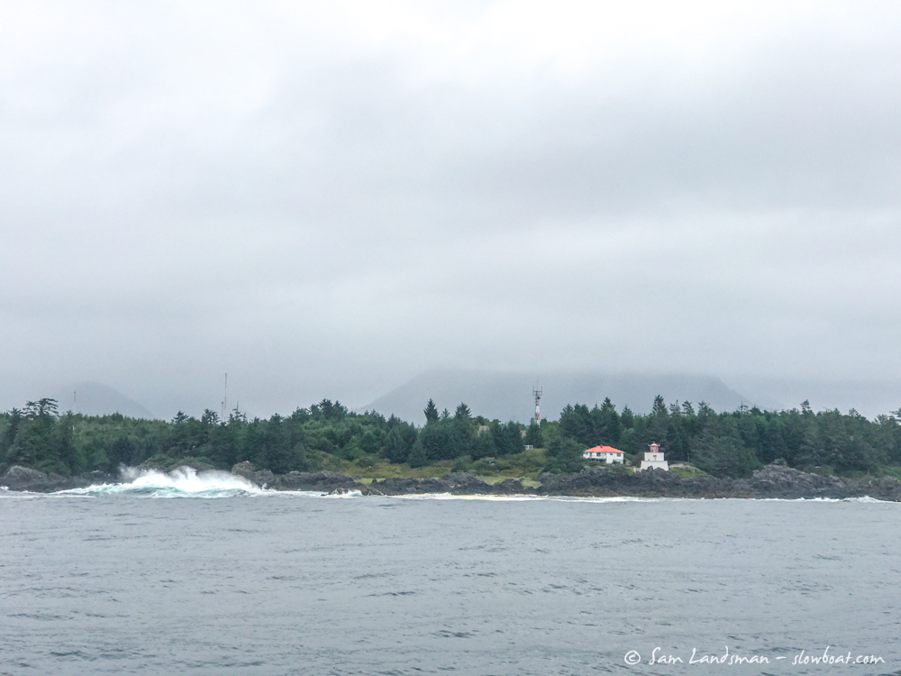
It’s only about 20nm from Clayoquot Sound to Barkley Sound. La Perouse Bank, significantly offshore from our route, reported 2 meter seas. The Lennard Island and Cape Beale lightstations reported low westerly swell, wind southeast around 10 knots, and two foot chop — bumpy but fine. The forecasts said this was our best opportunity to head south for four or five days. After some errands around Tofino, we departed midday.
Conditions were bumpy indeed, particularly just outside Tofino where the water is shallow and strong currents flow. The biggest challenge, though, was avoiding the hundreds of crab pots set along our route.
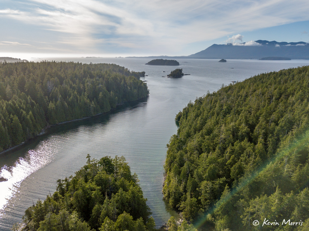
Barkley Sound is sometimes described as the most diverse of the sounds on the west side of Vancouver Island. The storm-swept Broken Group, a national park, lies in the middle. A fjord stretches a two dozen miles into the heart of Vancouver Island and the community of Port Alberni. Bamfield, a tiny town divided in two halves by an inlet bearing the same name, is at the south entrance. Ucluelet, at the north entrance, is the largest town, with a good marina, restaurants, a supermarket, and more.
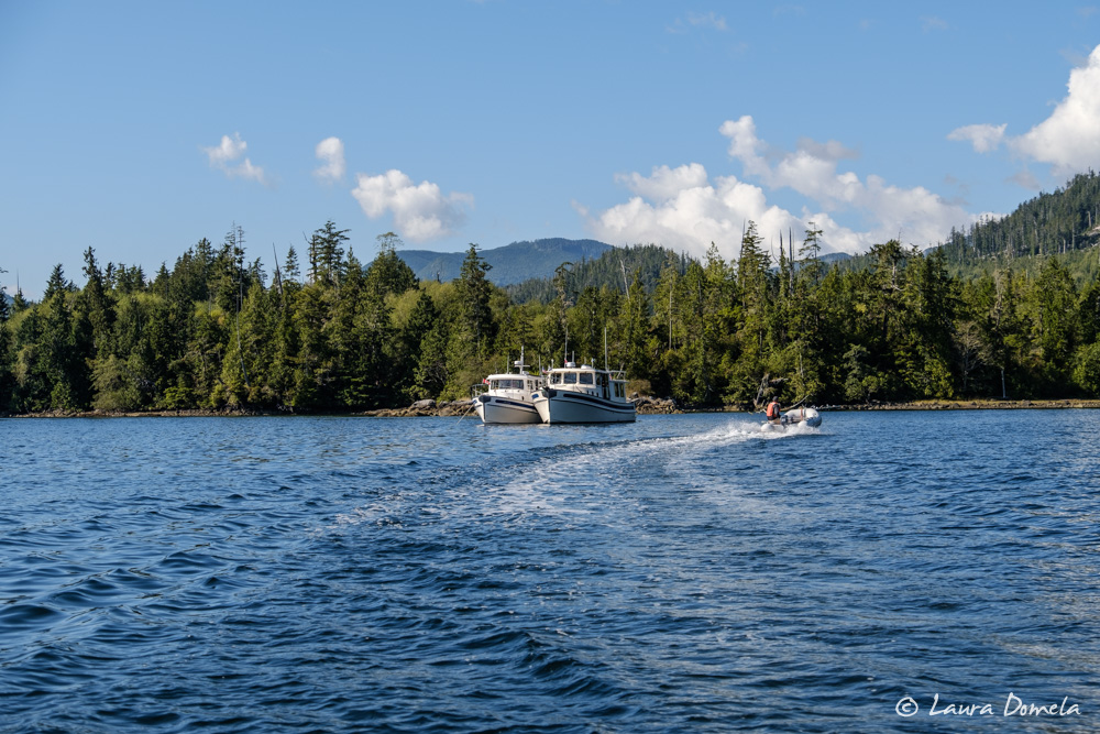
We headed directly for the Broken Group. Environment Canada predicted northwesterly winds to 35 knots the following day, so we dropped the hook in Turtle Bay (Joe’s Bay), a super well-protected anchorage.
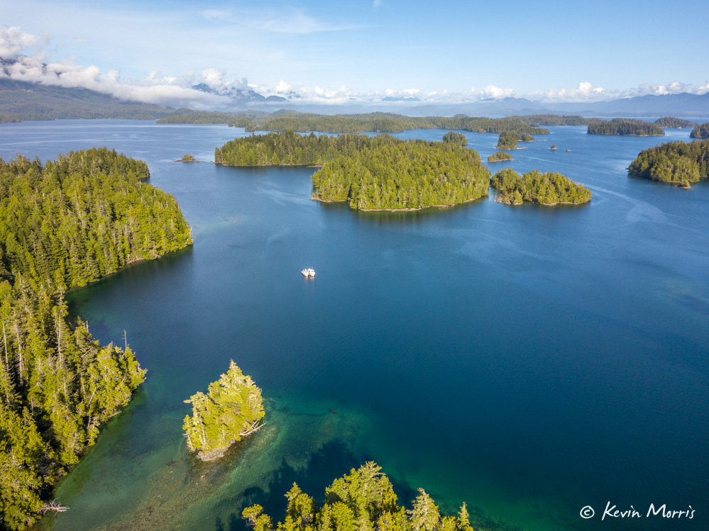
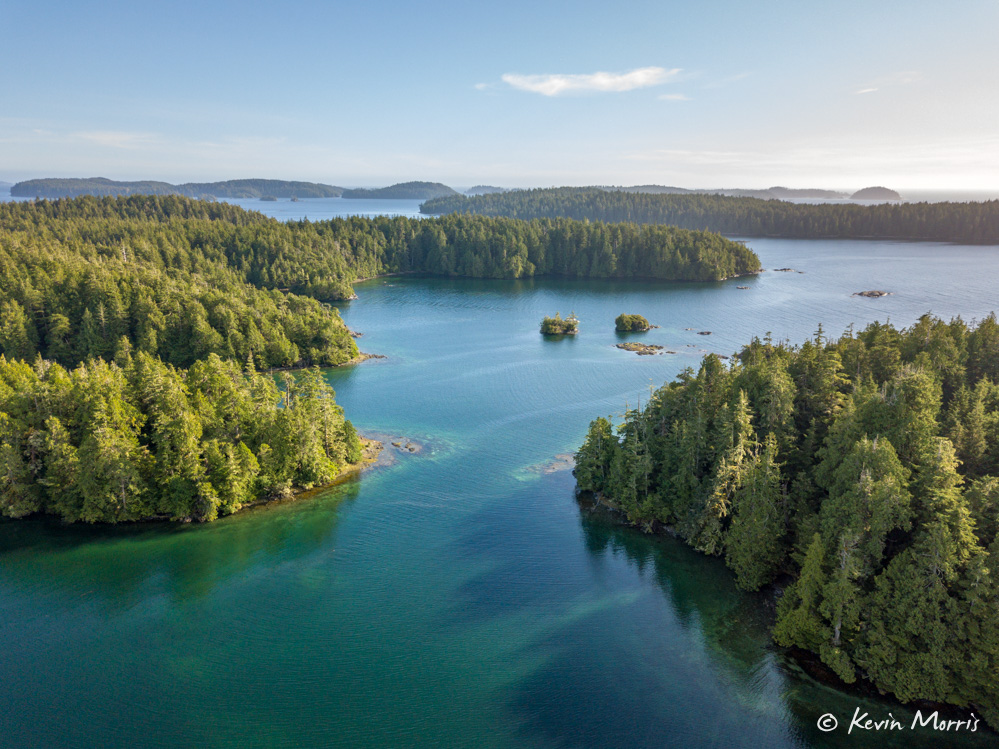
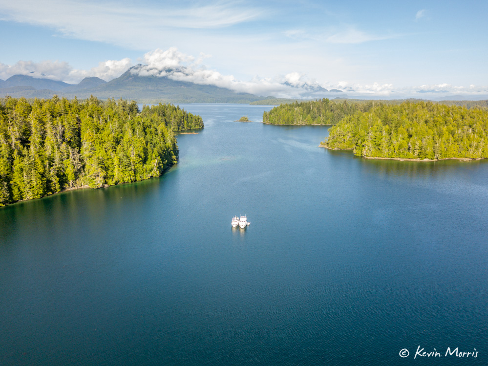
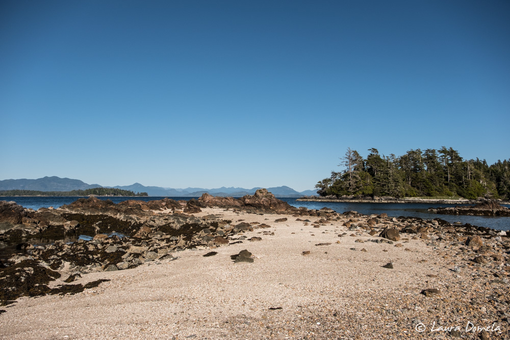
The next day we stayed put and waited for the wind, but it never arrived. The clouds of the last few days cleared and we explored the area by dinghy.
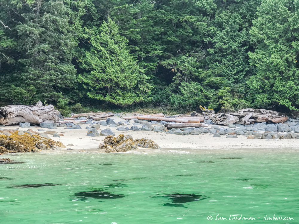
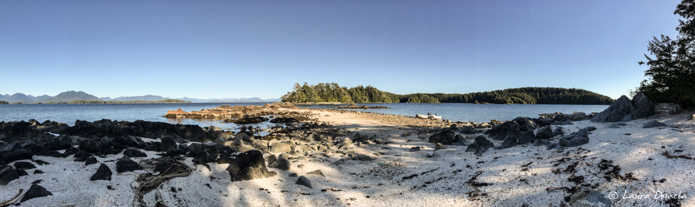
Small sand beaches abound, popular among kayakers.
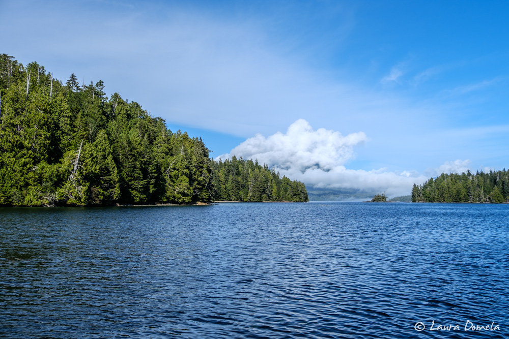
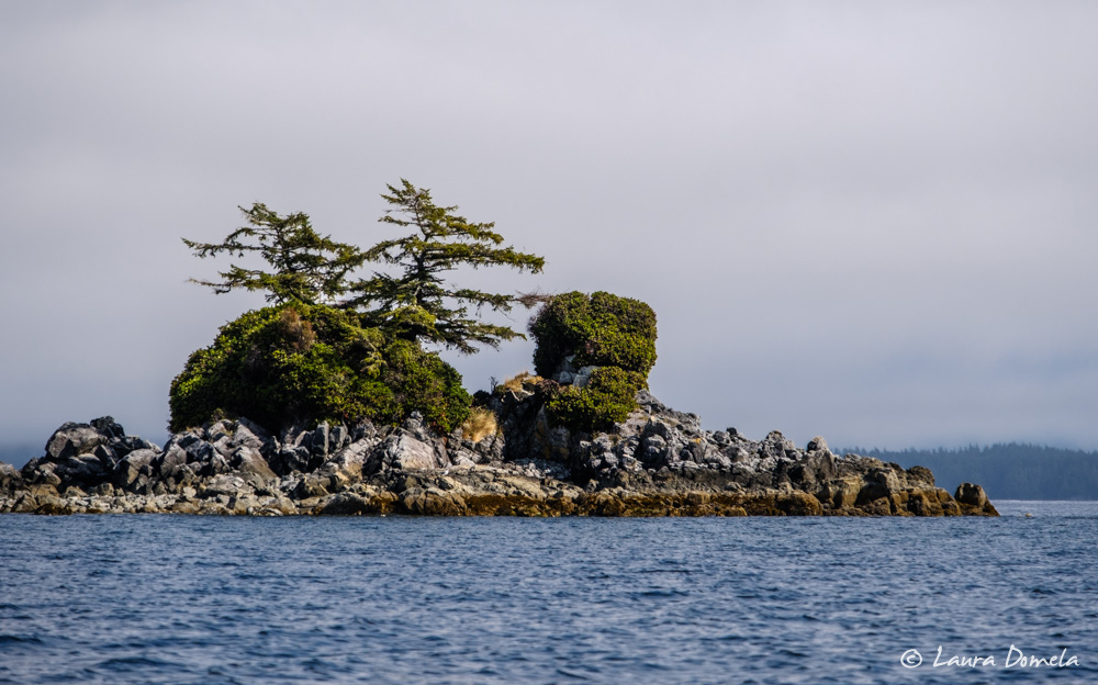
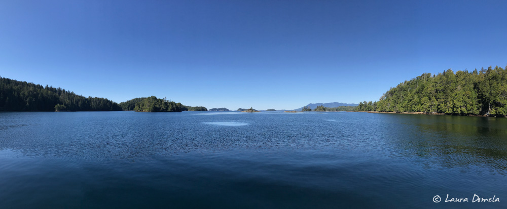
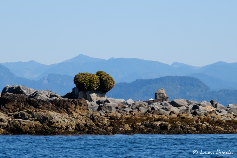
Rock piles, islets, and small islands dot the Broken Group.
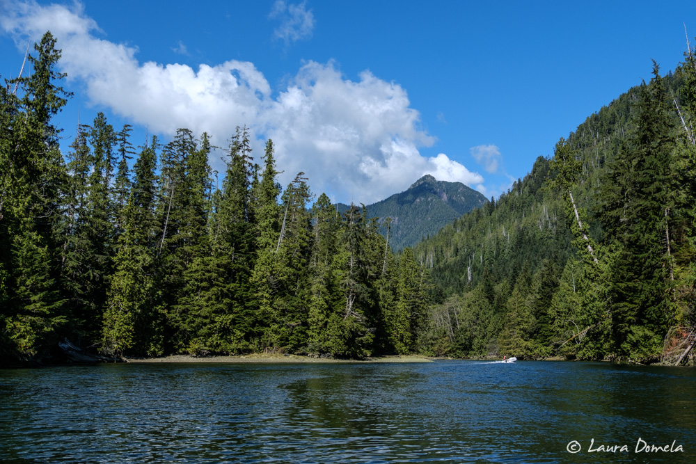
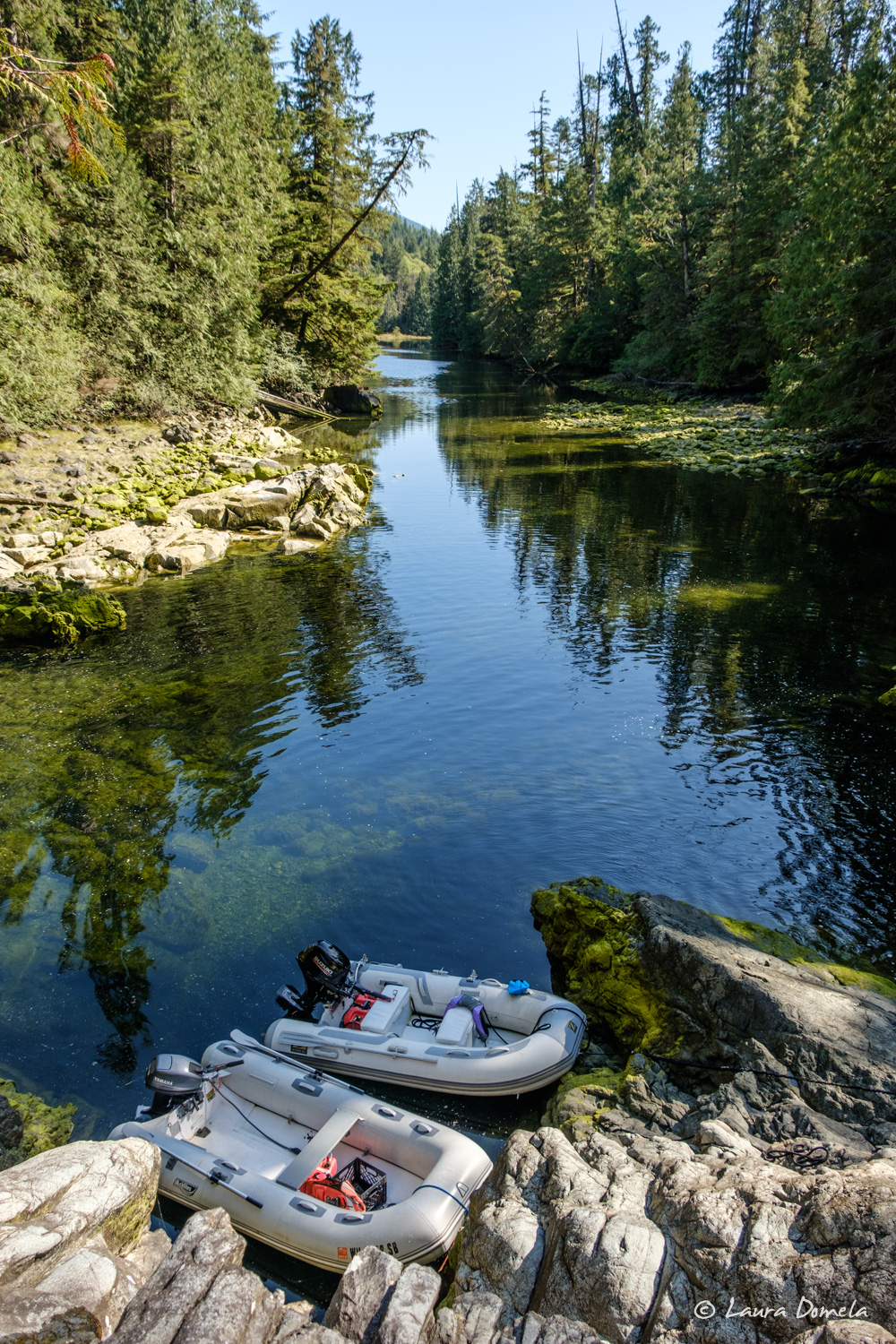
Next we headed further into Barkley Sound, to the mouth of Lucky Creek. We anchored next to Refuge Island and took the dinghies up Lucky Creek as the tide rose.
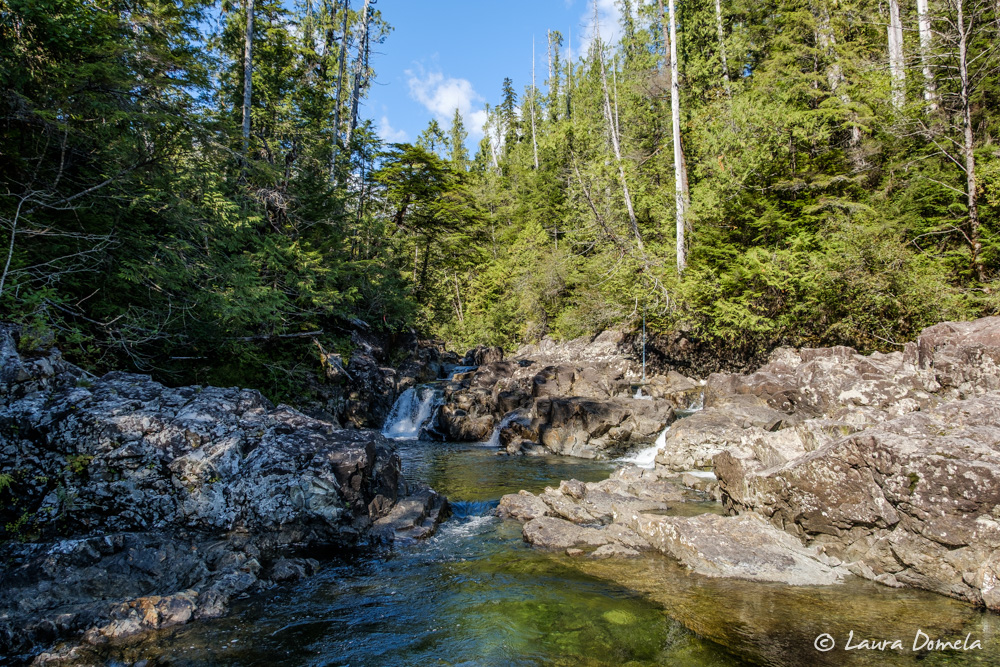
Half a mile from the entrance, a 30-foot high waterfall plunges into the creek.
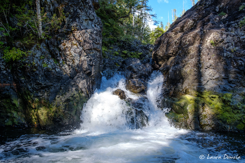
We tied up the dinghies and scrambled up the cliffs.
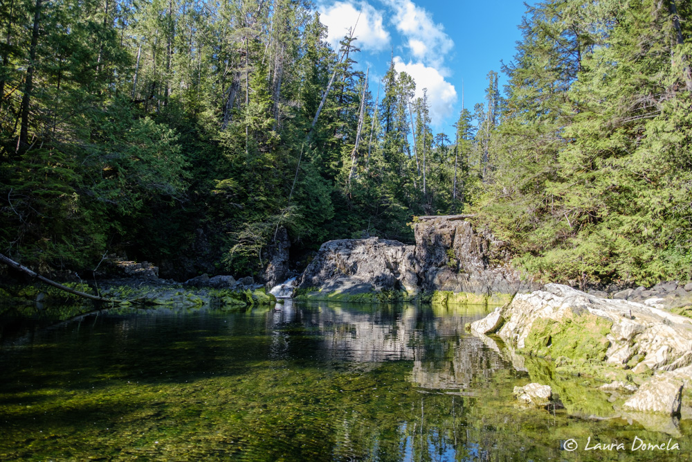
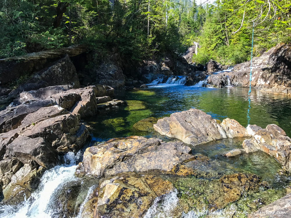
At the top, several pools look like great swimming holes. With the air temp in the low 60s, and the water seemingly cooler, we passed on swimming.
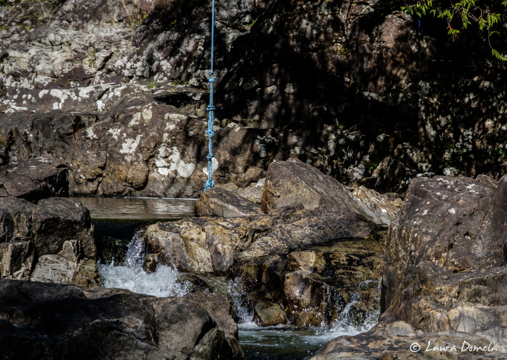
There’s even a pool with its own rope swing!
The next morning we headed back out to the Broken Group. We had a calm, sunny cruise to Effingham Bay, right on the edge of the ocean.
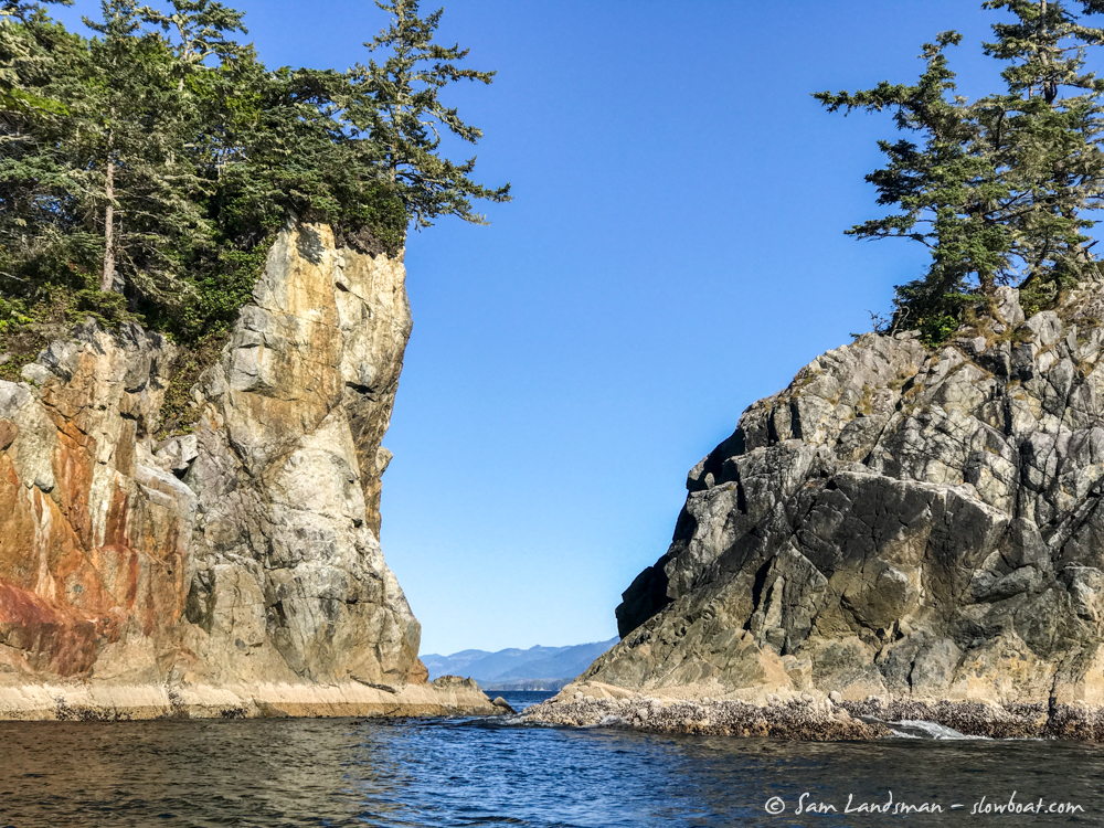
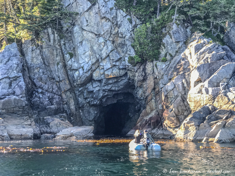
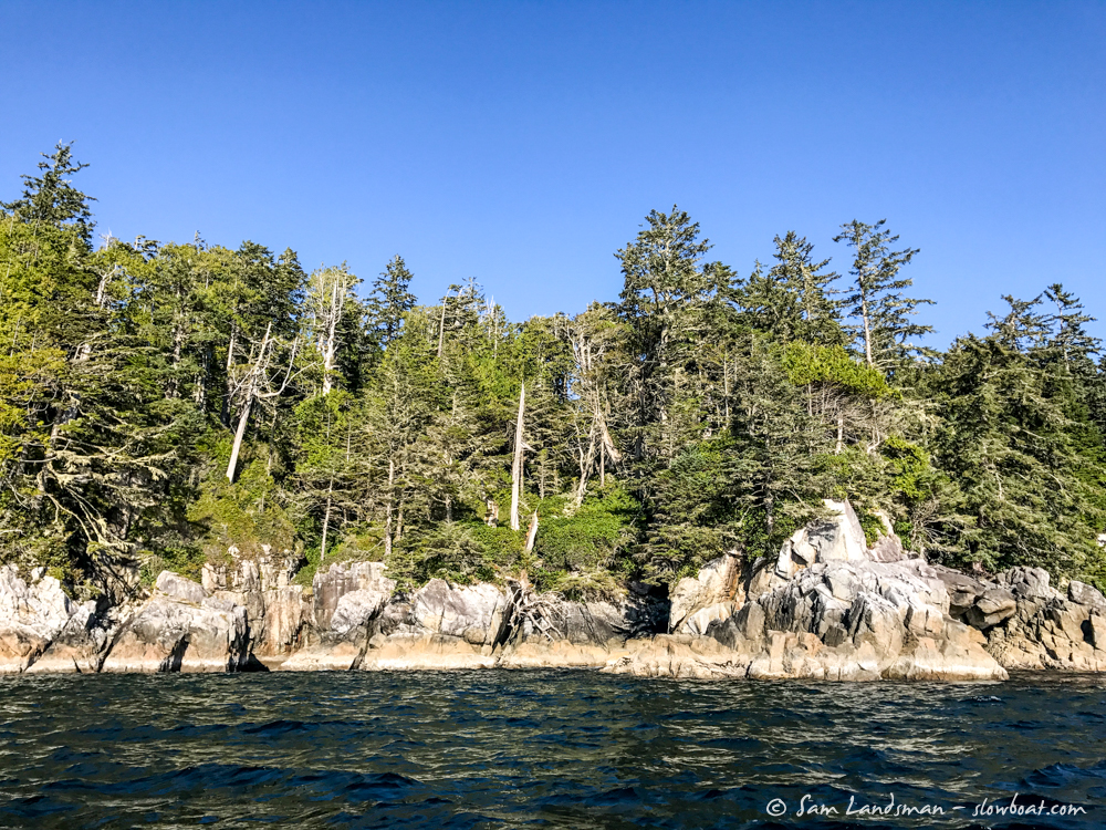
We explored by dinghy around Effingham Island and several of the outlying islands nearby. Sea caves, sea stacks, and sandy beaches abound.
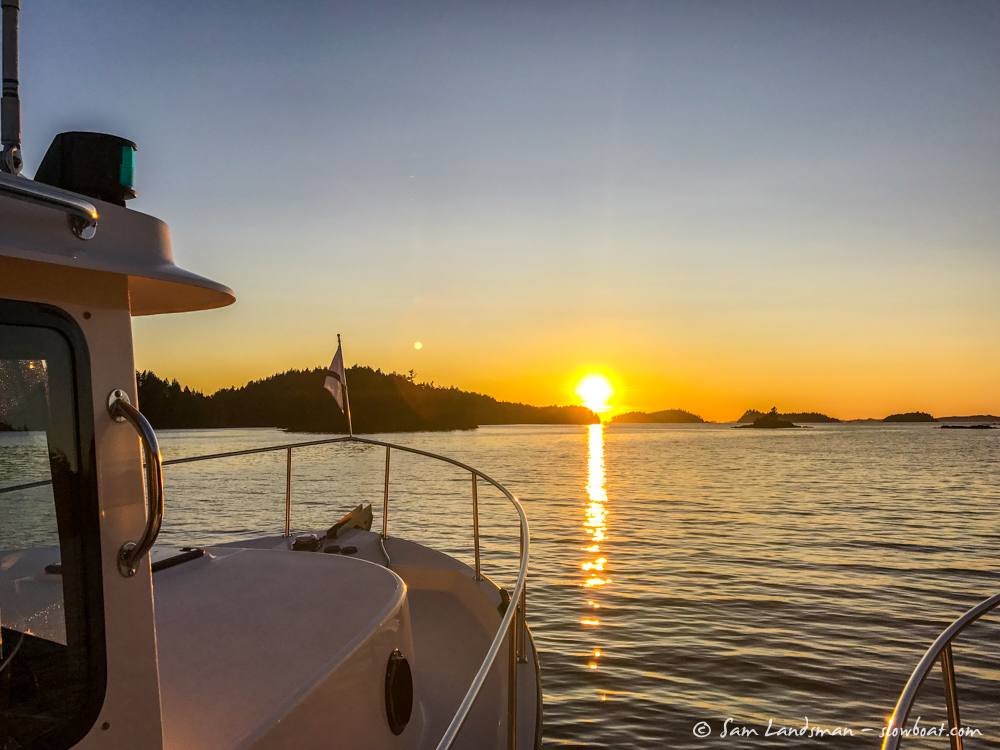
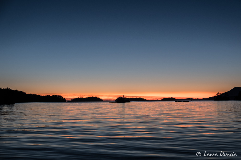
Effingham Bay is open to the west and known for dramatic sunsets.
Here’s where we’ve been so far: