From Petersburg I had two goals: see as many new anchorages as possible, and make it to Ketchikan (only about 110 nautical miles) before a flight out of town in a week. Easy!
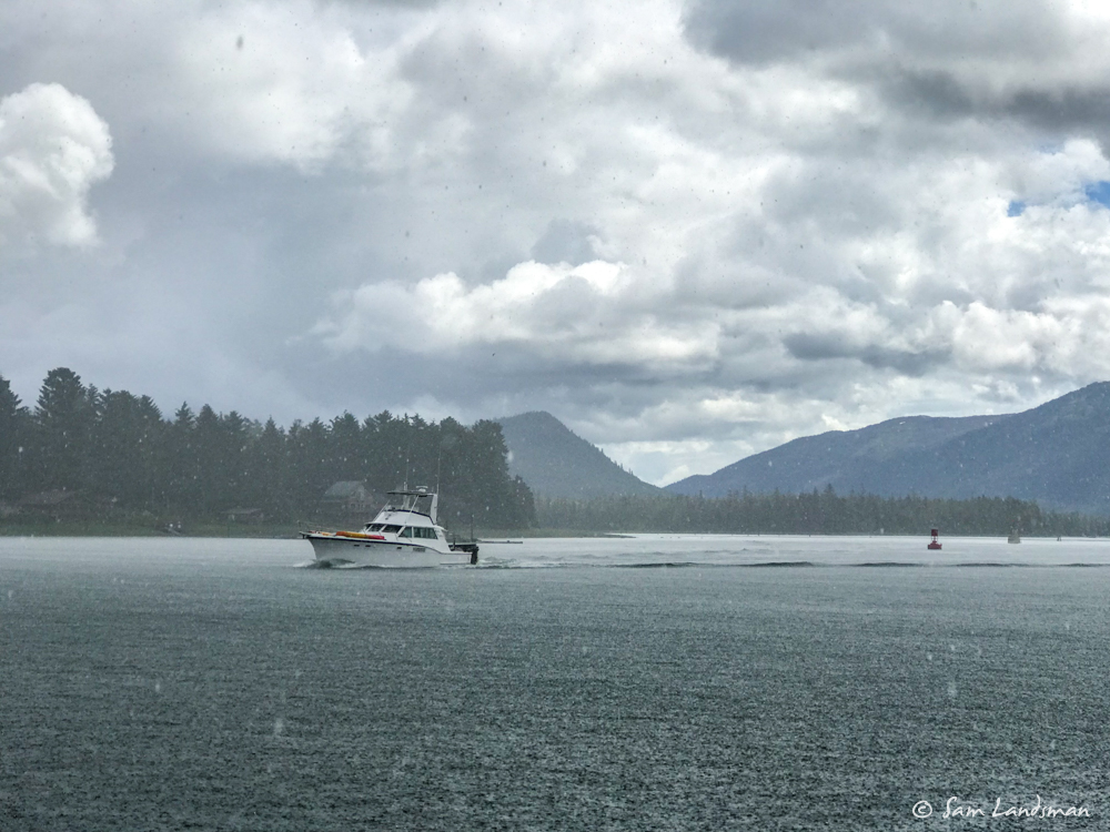
After a morning of chores in Petersburg, I rode the flood south, to arrive at Papke’s Landing (roughly the mid-point, where the flood current from each side meets) at high water. The timing worked out nicely, but boy did it rain. Huge drops gushed from the sky, more like a squall than the typical Alaska drizzle.
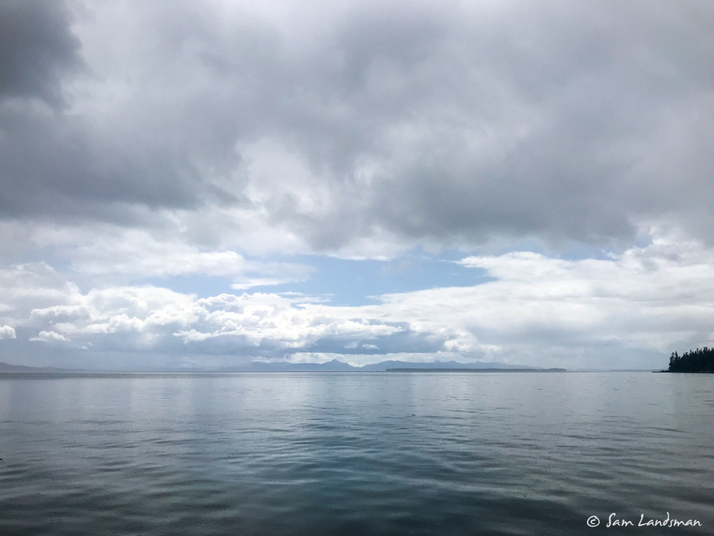
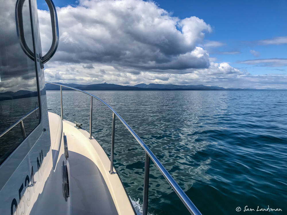
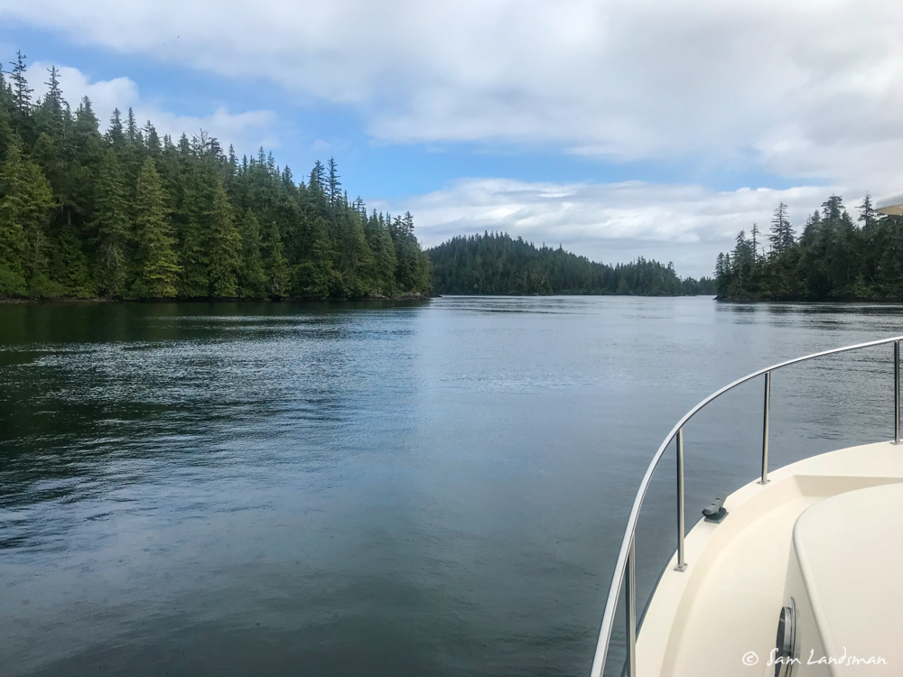
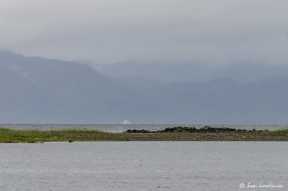
By the south end of Wrangell Narrows, the rain abated and patchy blue sky appeared. The wind remained calm and Sumner Strait was glassy.
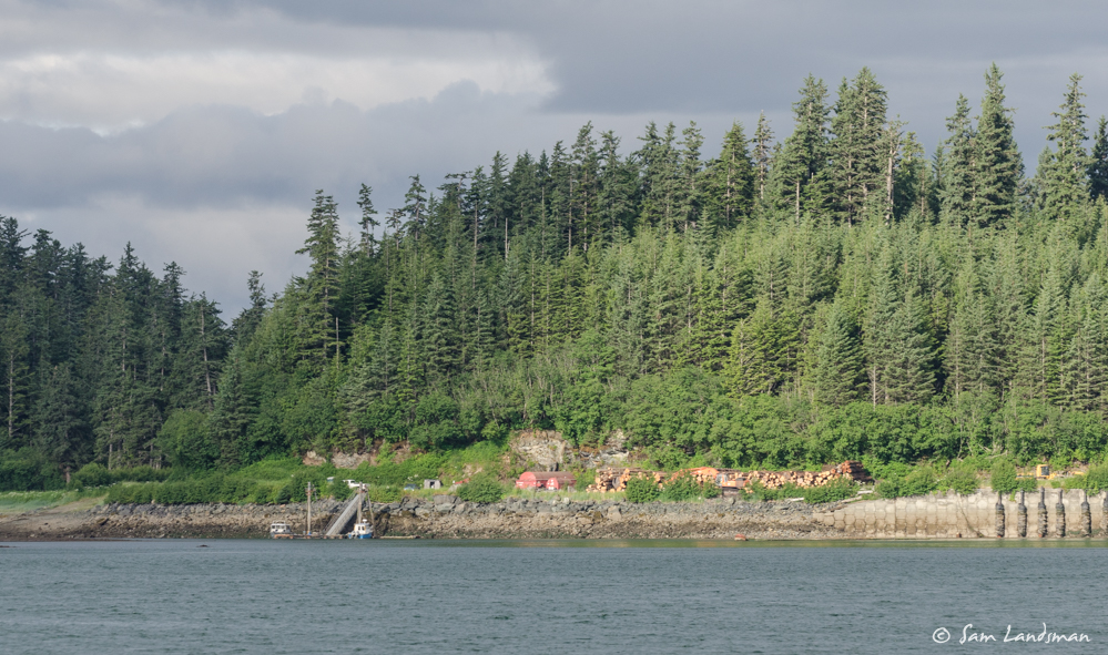
New anchorages would have to wait one night. By the time I was passing St. John Harbor, on the northwest corner of Zarembo Island, I was ready to drop the hook for the night. When I first visited here (maybe six years ago?), the logging operation appeared dormant. But for the last five years, it’s been active. The small dock was crowded with logging-support vessels and trucks zoomed between the dock and the logging activity. Apparently the loggers are pretty accommodating of visiting boats and people walking on the roads, but I didn’t go ashore.
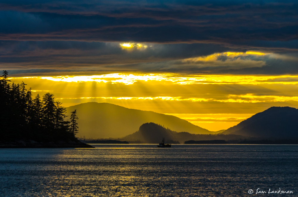
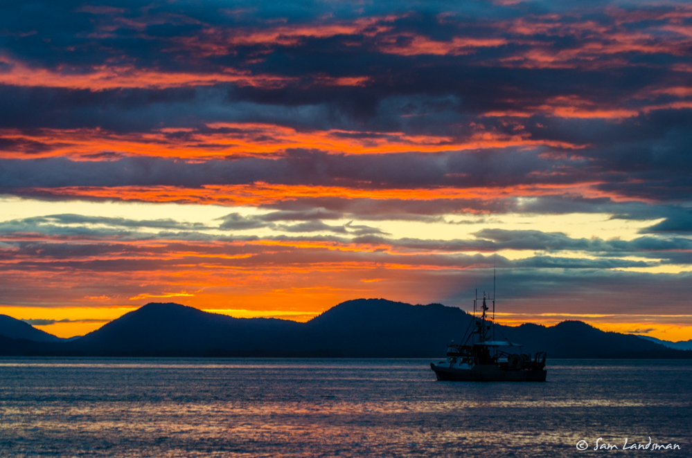
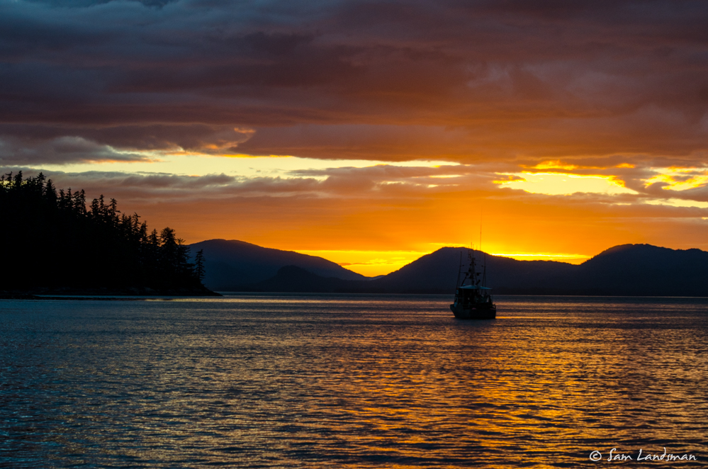
Sunset was magnificent (and hours long).
The next day I continued down the west side of Zarembo Island. The weather this summer has been SO MUCH better than last summer. So far, only about a quarter of the rain. Today didn’t disappoint, with lots of blue sky and only occasional spurts of drizzle.
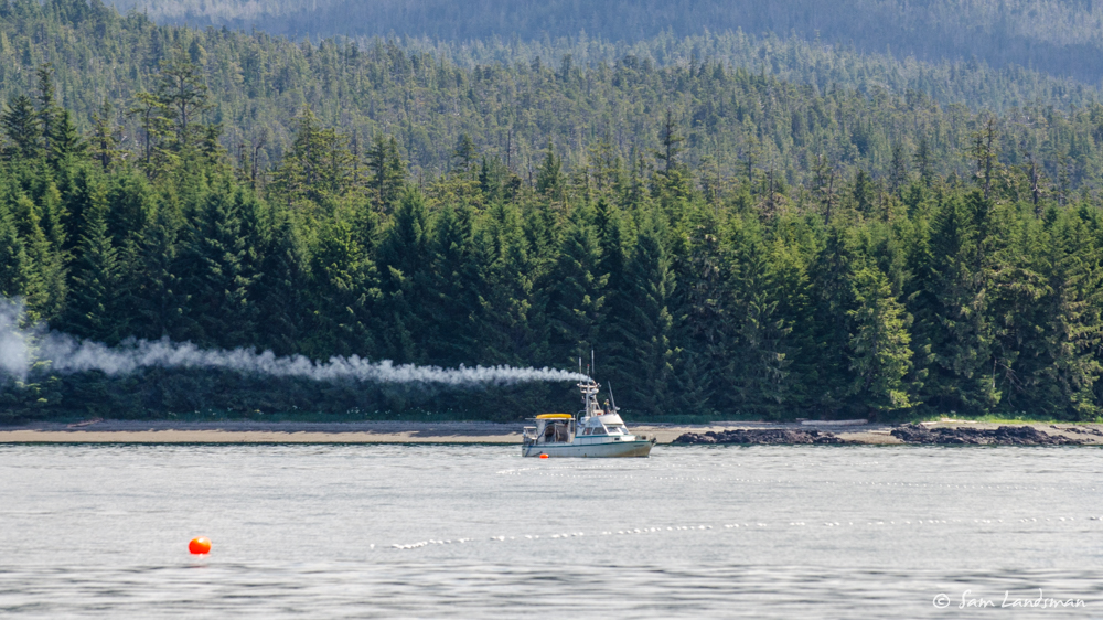
Commercial fishing activity is picking up. I dodged several gill nets. These can stretch for a half-mile from a boat, and the tiny white floats are very difficult to see, especially in bumpy conditions. The fishermen often aren’t paying attention to the radio (understandably since they’re busy fishing), so it can be difficult to figure out exactly where to go. I’ve learned not to try and cut between gear and shore (I’d rather go further out of my way and not feel boxed in) and to make significant course changes to avoid proximity long before it’s necessary.
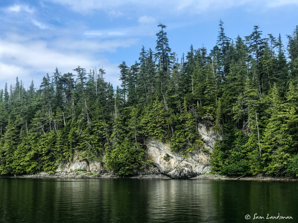
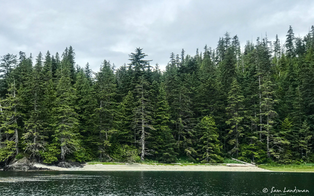
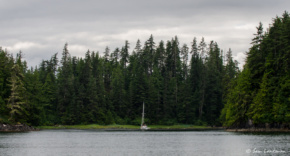
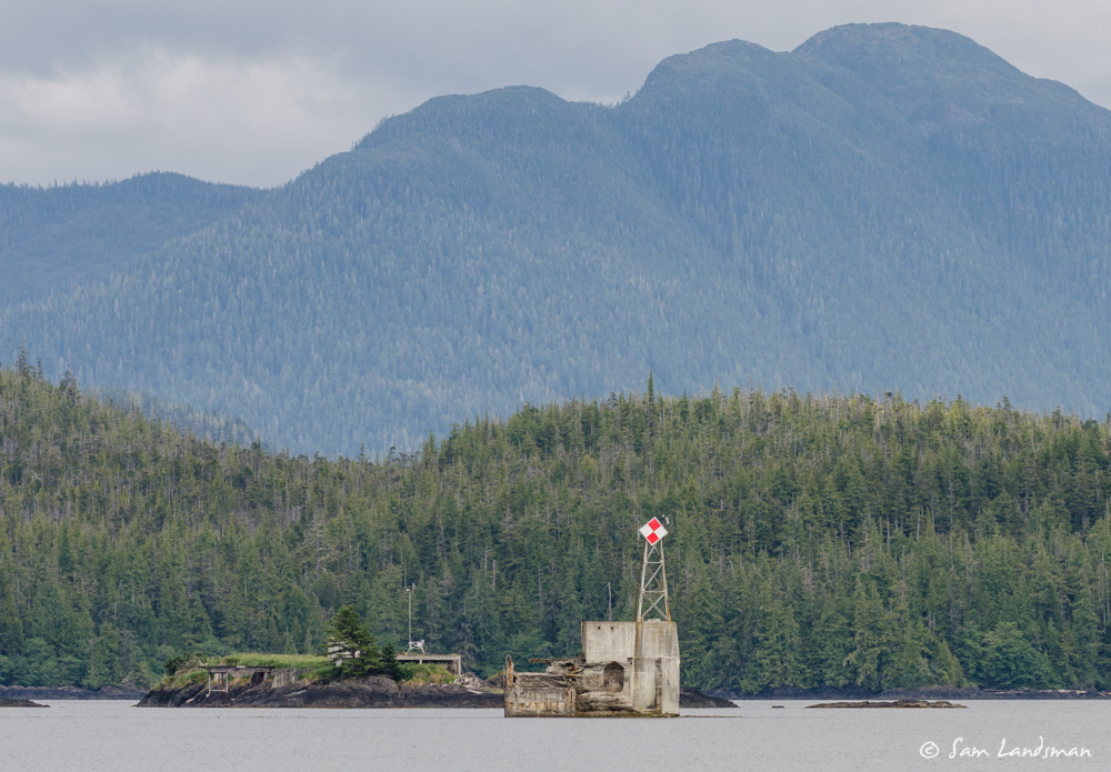
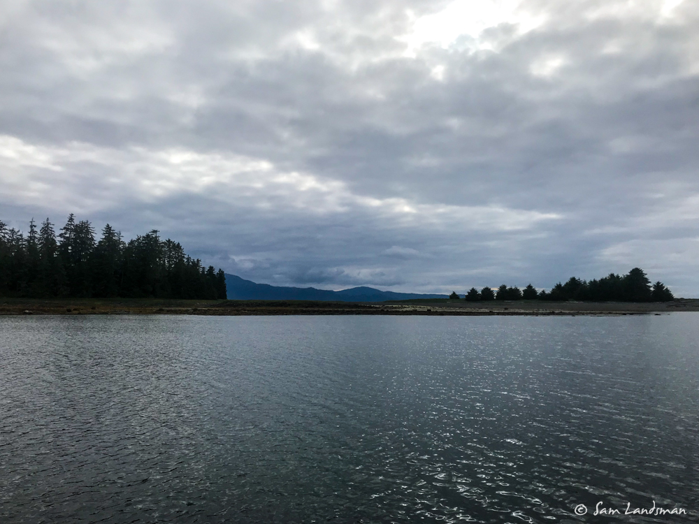
South of Shrubby Island, a maze of rocks, reefs, and islets—almost all unnamed—looked interesting. I picked my way through and found a spot to anchor for the night.
This isn’t the most dramatic anchorage in Alaska, but it’s serene, scenic, isolated, and has lots of places to explore by dinghy or kayak.
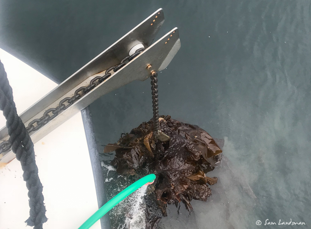
Also, lots of kelp. The anchor didn’t set the first time, so I pulled it up and found this mess. A few minutes with a knife took care of it.
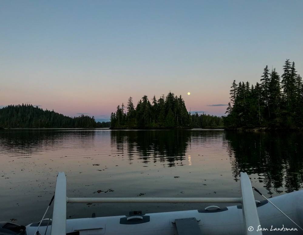
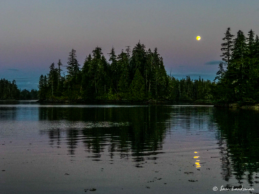
The moon is nearly full and rose dramatically from the sunset.
Continuing south the following day, I headed for McHenry Anchorage. Clarence Strait can be a nasty body of water, but today it was nice and calm.
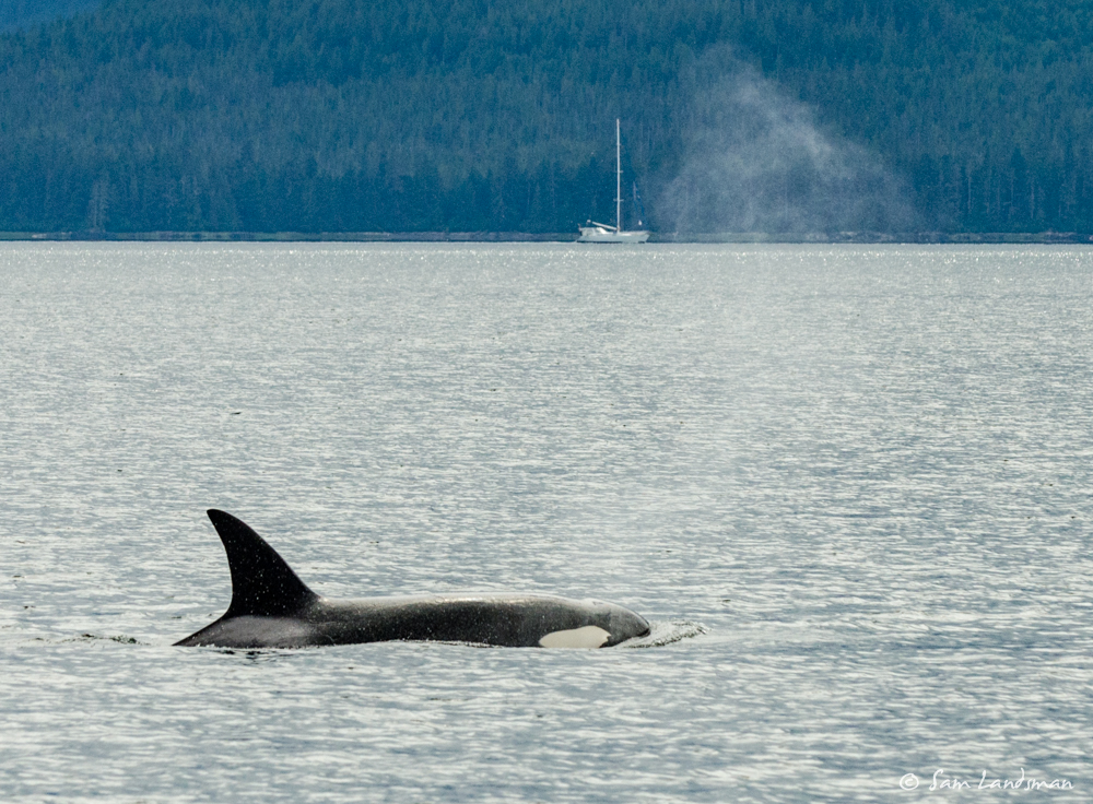
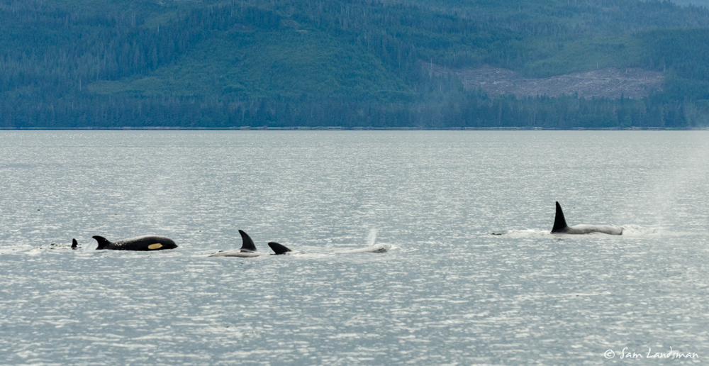
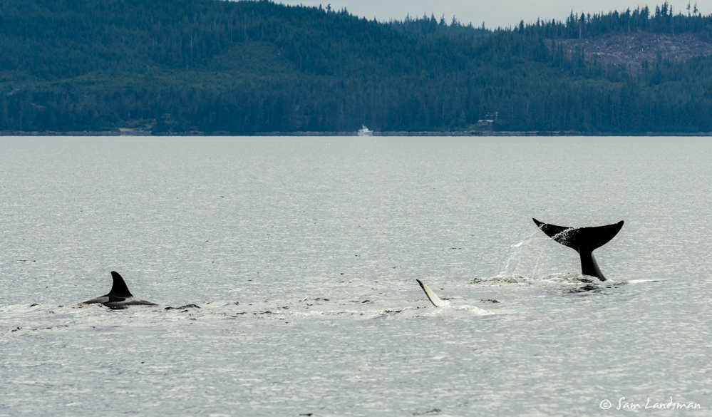
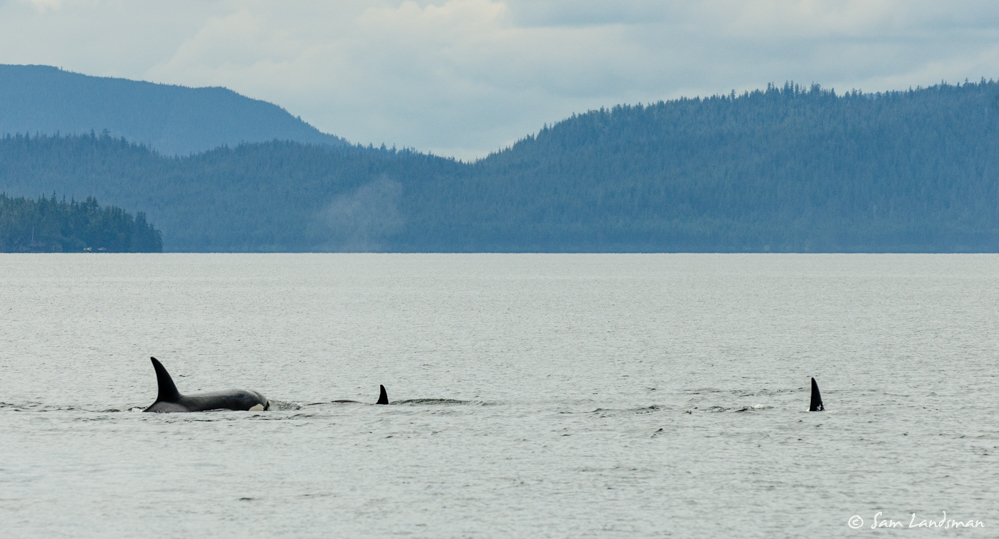
This summer has been a little light on wildlife compared to previous years. I don’t know if it’s just a function of being here earlier, spending less time in the Frederick Sound/Chatham Strait area, or something else. Regardless, it was fun to see a small pod of orcas swimming northbound in Clarence Strait.
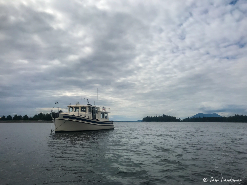
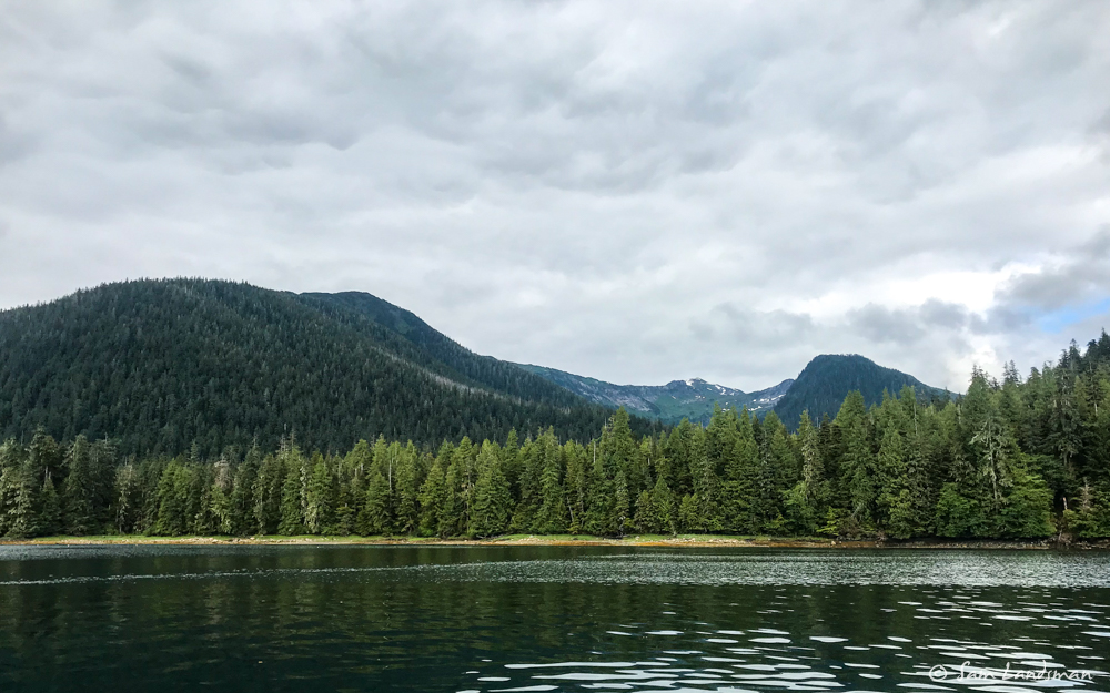
I’d never been in McHenry anchorage, but it is well located just off Clarence Strait, appeared spacious, and nearby McHenry Arm looked ripe for exploring by dinghy. It’s a HUGE and I was the only boat there.
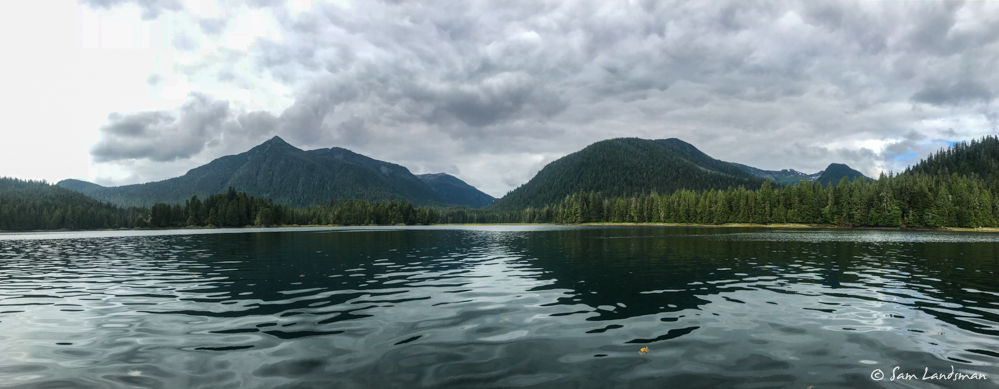
Soon after anchoring, I took the dinghy about six miles up McHenry Arm. It was beautiful back there, and there was even AT&T cell service! Next time, I think I’ll try anchoring at the head of McHenry Arm, although it looks deep and steep-to.
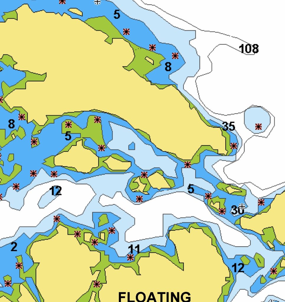
McHenry Anchorage lies right on the border between two charts. The one covering the southern half of the bay is a really small scale chart, with little detail other than an outline of the bay. And an outline at high tide, no less! Thankfully, the entrance channel seemed well-charted and free of hazards.
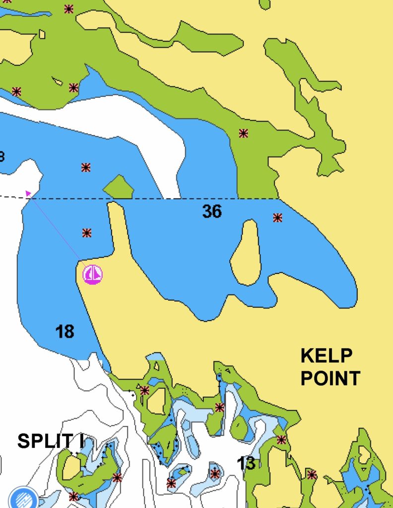
As the tide dropped, more and more uncharted rocks were exposed. I fired up the radar to show where the rocks extend. It’s probably safest to anchor in the northern part of the bay after slowly circling the area you’ll swing and noting the depths.
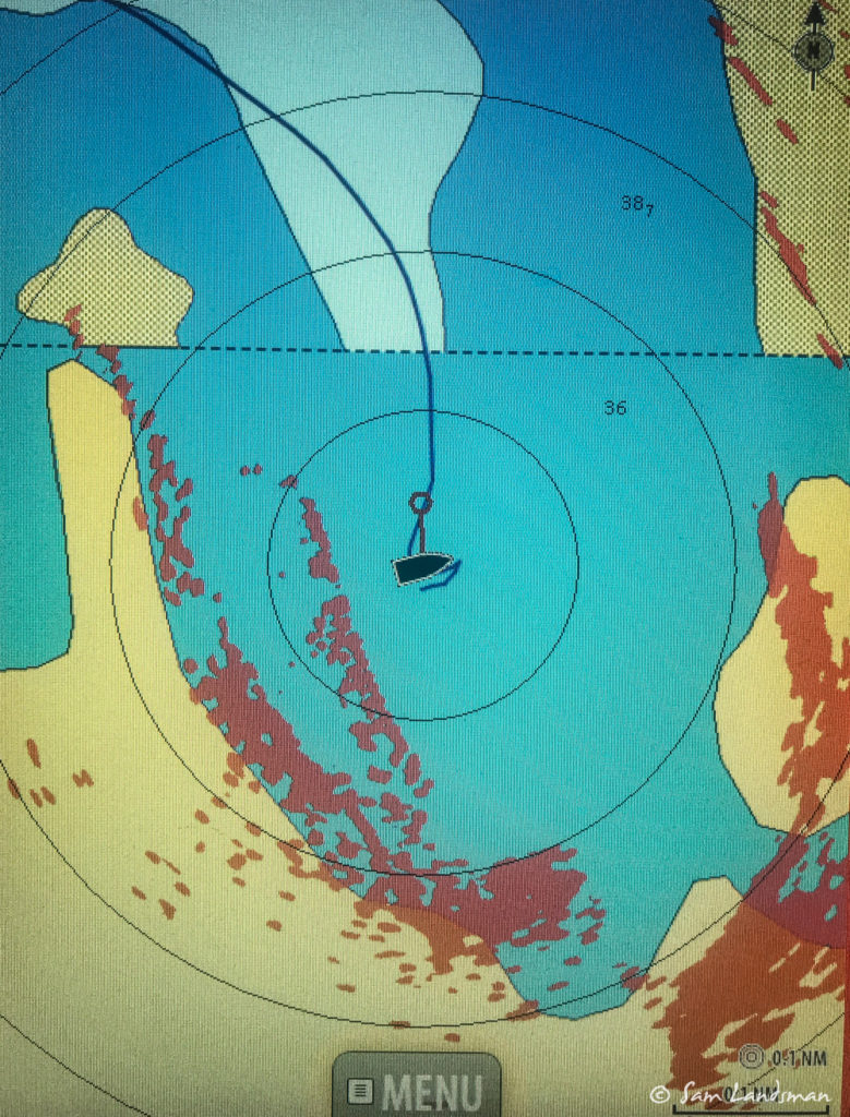
It’s kind of hard to see in the picture below, but this long spit of rocks is what the radar is seeing in the above picture. Totally uncharted.
The Exploring Southeast Alaska guidebook didn’t warn about the rocks, either. Here’s the entry for McHenry Anchorage:
The inner basin of McHenry Anchorage is well sheltered in all but strong westerlies. Avoid rocks on south side of fairway and anchor in south center of basin.
A warning about half the south basin drying at low tide would be nice! Alas, I suspect the authors never visited, and certainly didn’t sit at anchor through a tide cycle.
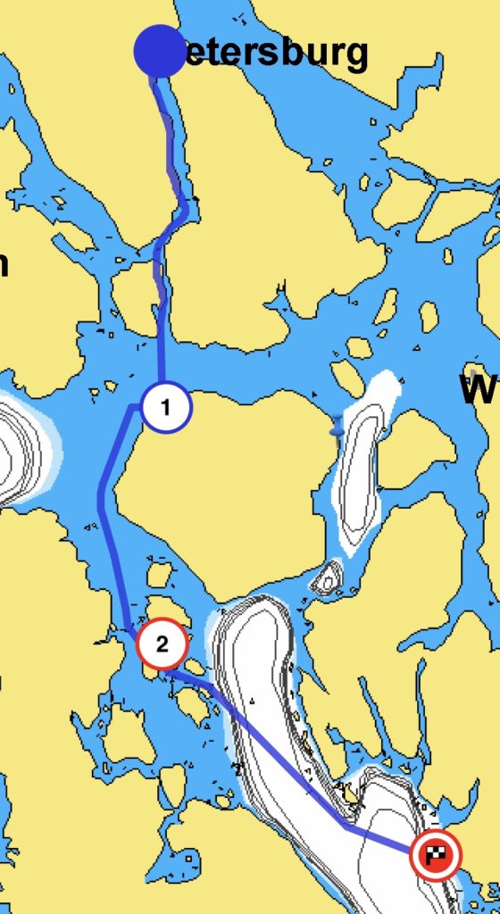
Here’s a chart of where I’ve been. Next: Vixen Harbor, Tolstoi Bay, and the Inside Passage in an hour!