We liked Skull Cove so much that we decided to stay another day! This is a beautiful anchorage with endless nooks and crannies to explore, the weather is great, and we have internet so we’re also able to get a lot of work done.
We took the dinghies out to Nakwakto Rapids (at slack) to take a look. We were a little bit early and the tide was still ebbing slightly, but for the most part it was calm.
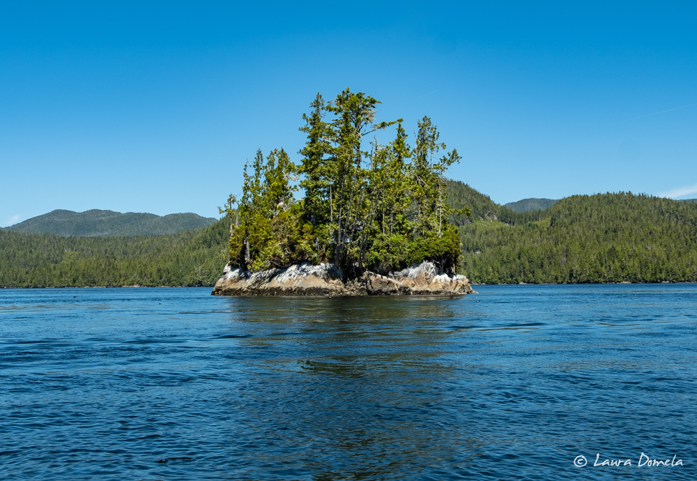
Turret Rock, the small island right in the middle of the rapids, is sometimes referred to as Tremble Island because it is said to “tremble” when the rapids churn mightily around it.
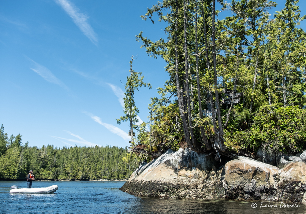
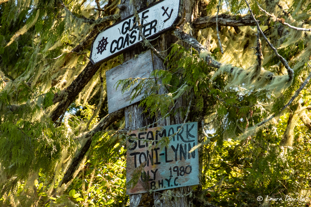
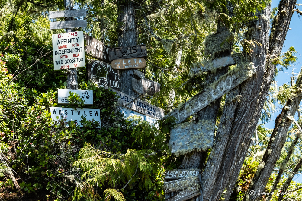
Next we headed over to Cougar Inlet. The current at the entrance was in the early stages of the flood when we arrived, but the rapids there were still nothing to mess with (for very long, anyway).
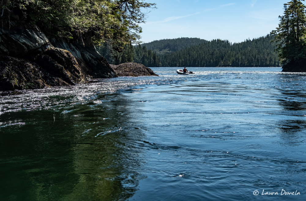
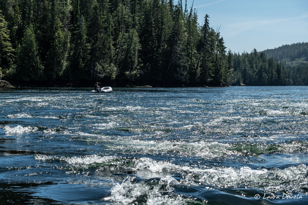 We only felt comfortable taking a brief look into Cougar Inlet, since the rapids were stiff and would only be getting worse. We took some video on our way out:
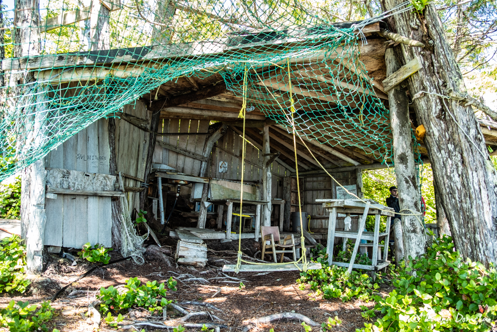
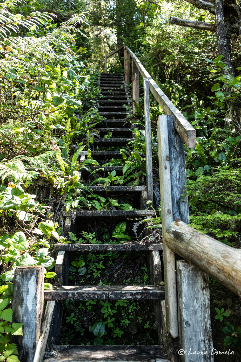
One of our readers asked us if we had found the Skull Island kayak camp. We didn’t even know of such a camp! She gave us some hints (well, and a photo of the chart with big arrow pointing out where it was—thanks Allison!) so once we were back in Skull Cove, we went out looking for it! It’s somewhat difficult to spot until you’re right near shore, but there it was! We tied up the dinghy and headed up the stairs.
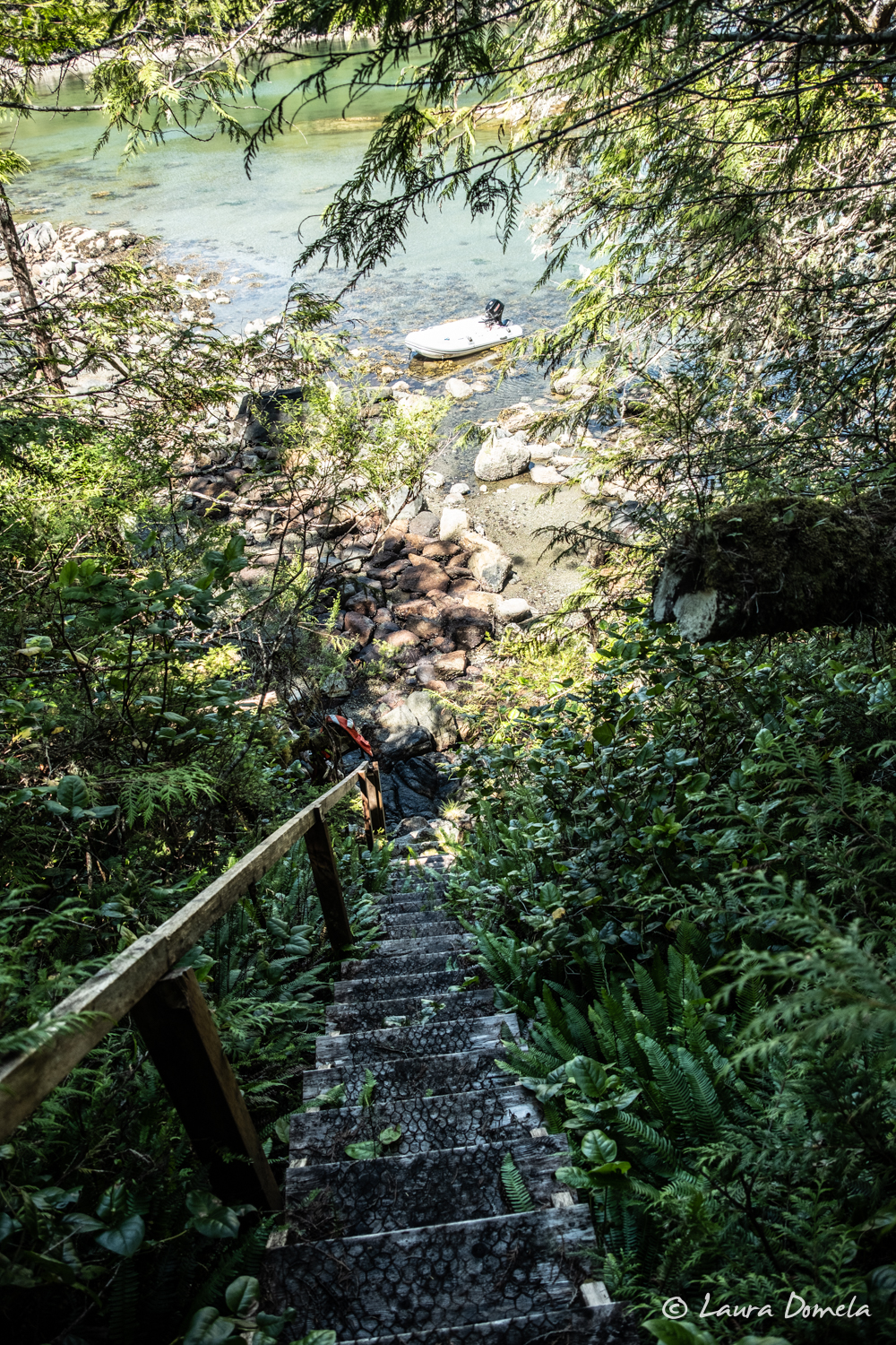
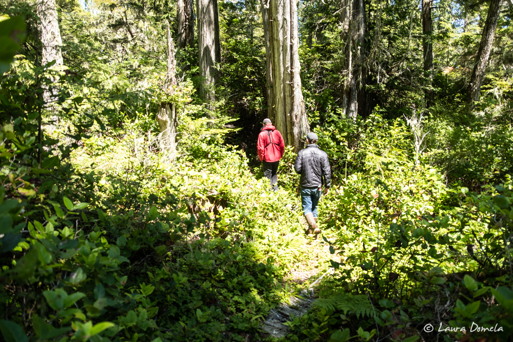
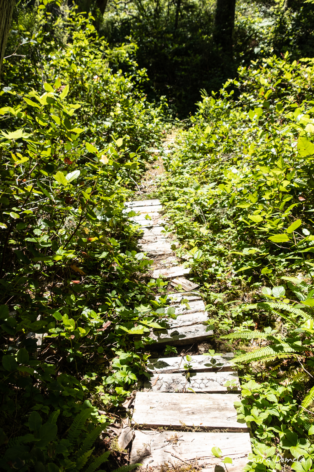
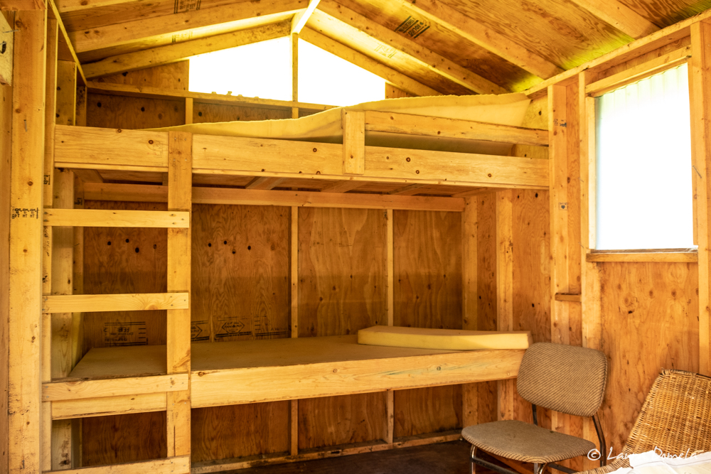
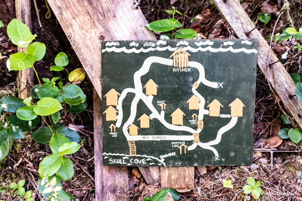 Trails connect a web of small cabins, a kitchen/hang-out area, and a few loos. It doesn’t appear that anyone has maintained the trails in quite a while, and walking any of them at night (say, from your cabin to the loo) could potentially be quite hazardous, but otherwise it’s a really great location for a camp.
Cabin interior:
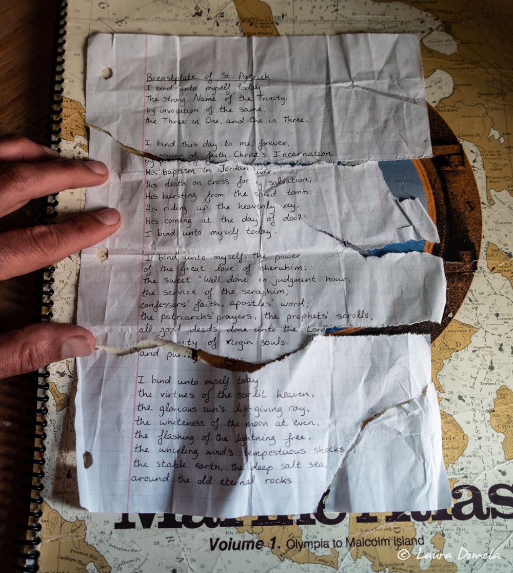
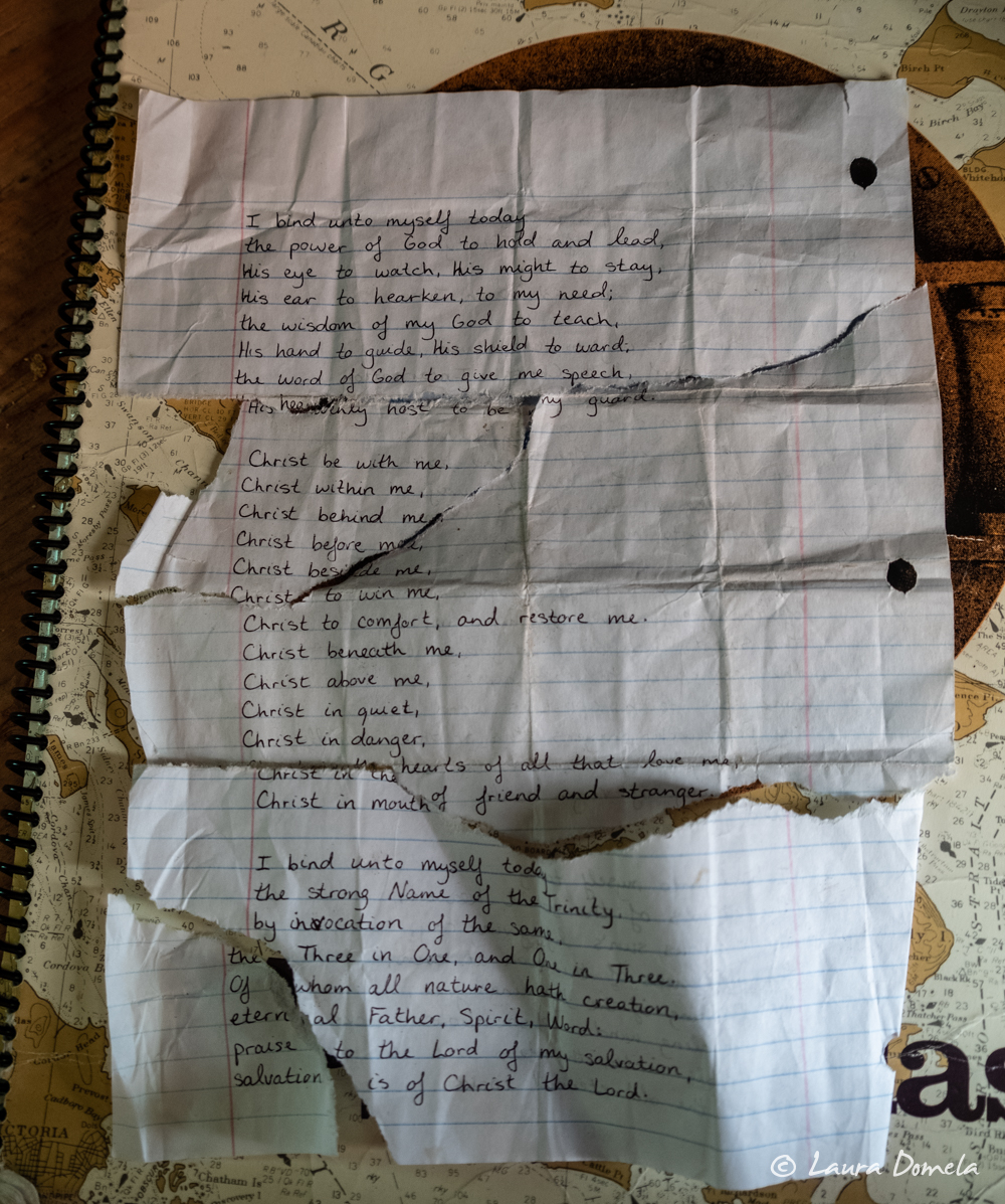
Inside one of the cabins we found a ripped up handwritten something-or-other, and like the sleuths that we are, managed to piece it back together.
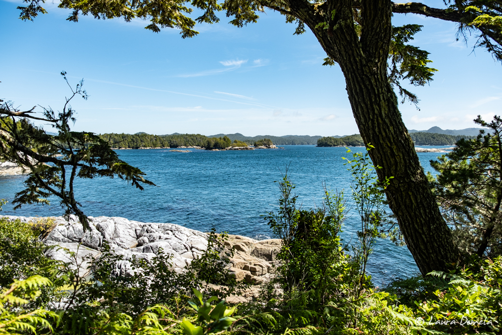
View from the “kitchen”:
The place feels a bit like a grander version of the forts we built as kids.
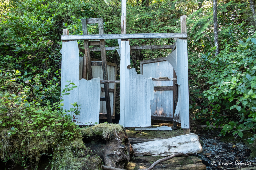
 We headed back down the stairs to the dinghy, pausing to look once more at the map after having explored all the trails, and noticed “showers” located down on the beach. Really?
Turns out, there are showers — or at least a place to hang a sun shower with a bit of privacy.
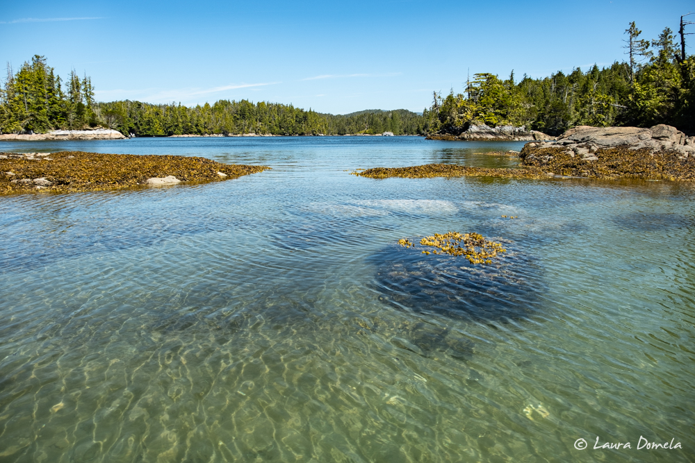
That’s Airship and Safe Harbour, rafted way in the distance in Skull Cove (taken from the shore of the kayak camp):
 Later in the evening after dinner, Kevin took the Mavic up for some evening aerial shots:
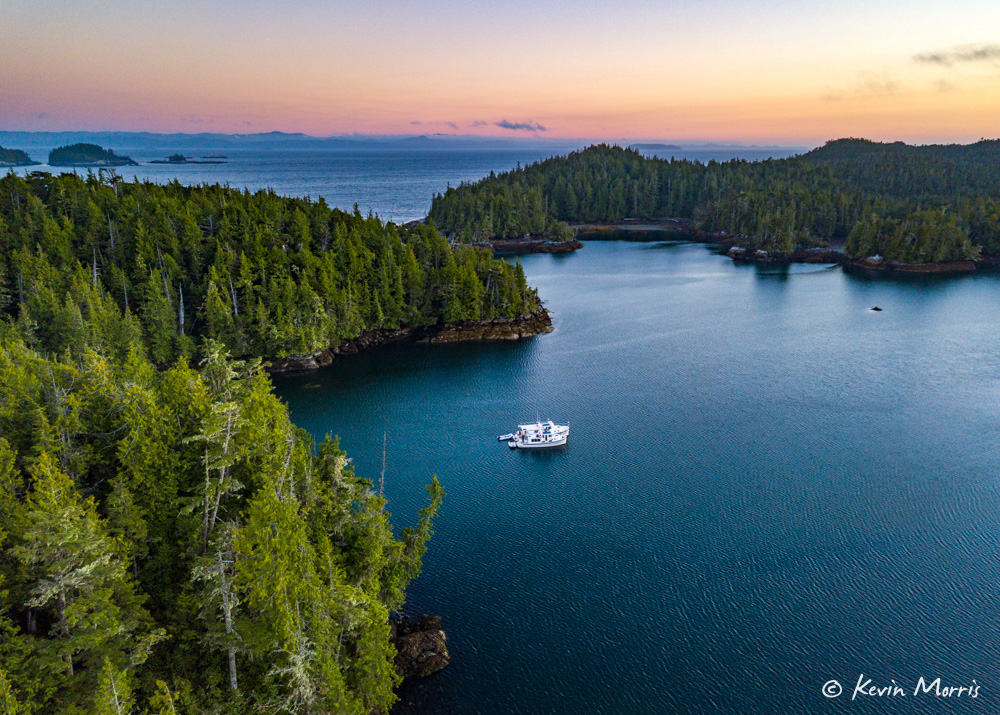
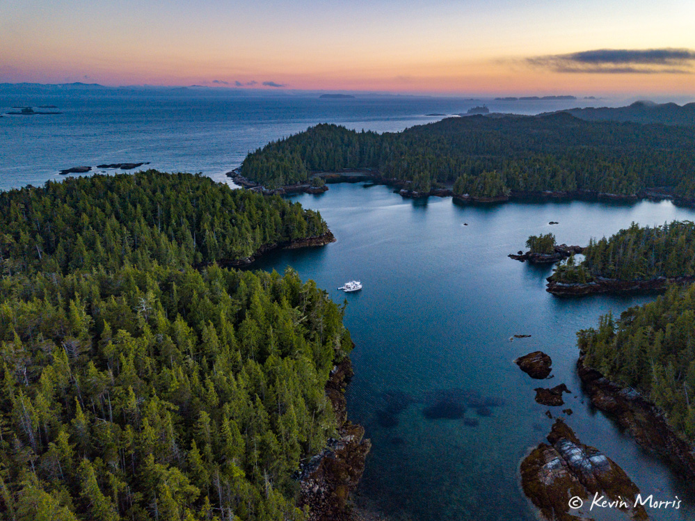
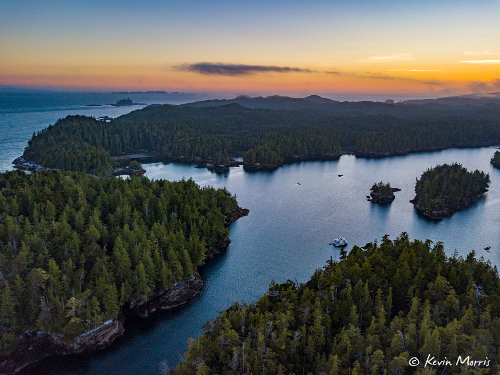
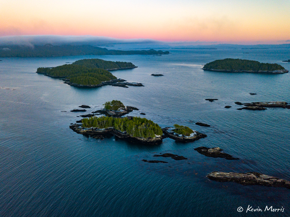
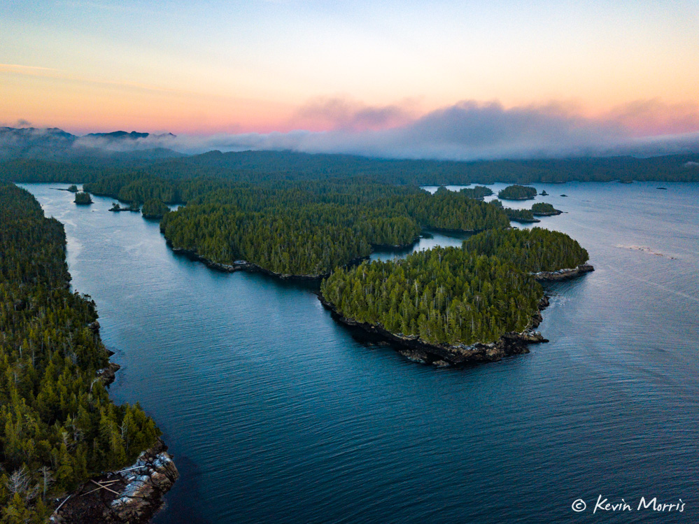
Skull Cove is our new favorite anchorage in this area!
