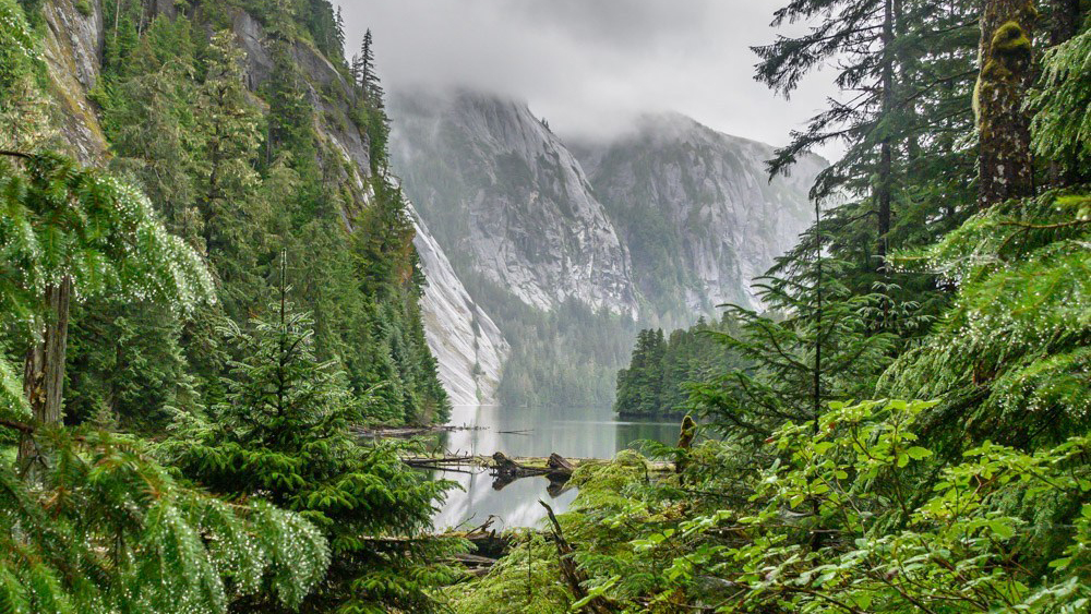
Day 11 | Alaska Flotilla Leg 4 | Meyers Narrows Cove to Lambard Inlet
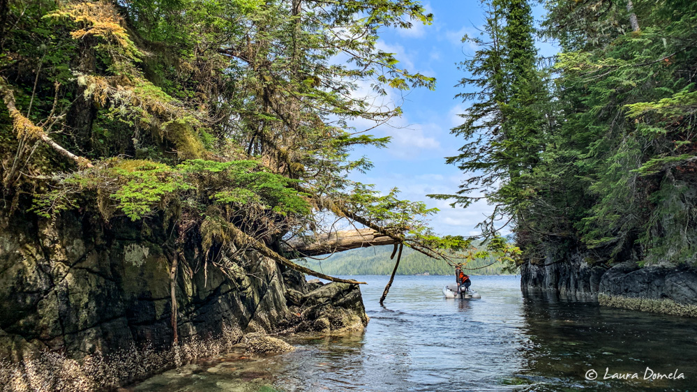
Our departure from Meyers Narrows Cove was dictated partially by the tide. The narrows have depths in the single digits, and with the tide falling we didn’t want to take any chances. We left about 6:30 a.m., with a 5 foot tide, and had at least 12 feet under the keel the whole way through. We’ve been hearing rumors that Shearwater (the next scheduled stop where we can fill our … Read more