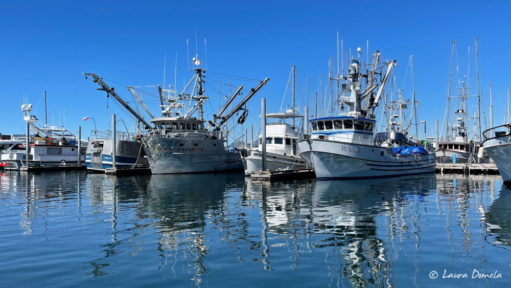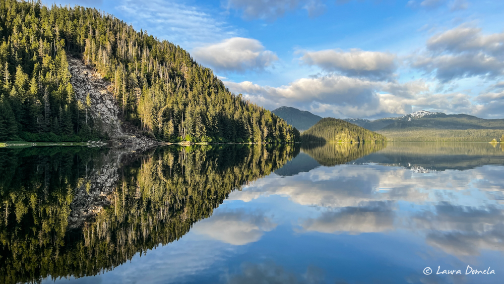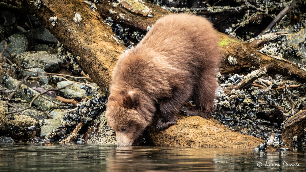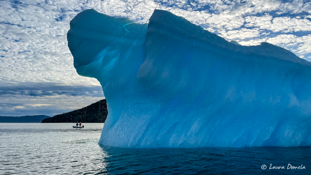
Day 1 | Flotilla to Alaska!

We’ve been unusually quiet for the last year. Cancelling trips, refunding money, doing circles around the San Juan Islands while waiting for the COVID crisis to blow over had us a bit down. But we’re finally underway again, and it feels great! A few months ago, several things became clear: any American who wanted to be vaccinated could be fully vaccinated by the end of May, travel and socializing is … Read more

Day 18 | Alaska Flotilla Leg 4 | Frederick Arm to Von Donop Inlet

We didn’t care much about timing Whirlpool Rapids and Greene Point Rapids yesterday, but we do care about the timing at Dent Rapids, Gillard Pass, and Yuculta Rapids. Thankfully, getting to the rapids at slack isn’t that hard. Frederick Arm to Dent Rapids is about 6.5nm (we’ll call it an hour) and Dent was predicted to be slack at at 7:01 a.m. So we left at 6:00 a.m., and as … Read more

Day 6 | Alaska Flotilla Leg 4 | Foggy Bay to Prince Rupert

Goodbye Alaska! We’ve had a great couple months wandering around Southeast—the best weather we can remember (except for that one week of smoke), excellent bear and whale watching, and just a few boat gremlins—but in order to have a leisurely trip down the outside of Vancouver Island with decent weather, it’s time to head south. NOAA predicted 10 knot winds and Environment Canada said wind light. Windy showed single digit … Read more

Day 9 | Flotilla to Alaska | Blunden Harbour to Fury Cove

Around Cape Caution! When we fell asleep last night, Environment Canada (Central Coast zone) was calling for “wind light” and seas one meter all day. Windy (ECMWF model) was showing this: Forecasts don’t get much better than that, but forecasts aren’t always right. So when we woke up at 4:30 a.m. we checked West Sea Otter buoy, where the wind was gusting to 4 knots and the seas were a … Read more

Building a Weather Picture

One of the most important skills for successful cruising is understanding the weather and how it impacts your plans. This doesn’t mean being a meteorologist, making your own forecasts, or interpreting esoteric weather charts. Rather, it means selecting the right forecast from professional meteorologists (NOAA, Environment Canada, European Centre for Medium-Range Weather Forecasts), utilizing real-time weather data from the multitude of weather reporting sites along the coast, and adjusting cruise … Read more

Getting the Most from Windy.com

Windy.com is our single favorite weather resource for cruising the Pacific Northwest. We never ignore the official NOAA or Environment Canada marine forecasts, but Windy offers a much more granular look at the weather. Environment Canada and NOAA forecasts cover large areas over many hours with wind speeds expressed in big ranges (10 knots or more). Windy allows you to pan and zoom to the area you’ll be traveling, and to … Read more

Crossing Queen Charlotte Sound to Cape Scott

For the last several days, we’ve been closely monitoring the weather forecasts, looking for a window to cross Queen Charlotte Sound and round Cape Scott to the west side of Vancouver Island. Environment Canada had been calling for 20-30 knot southerly winds today, diminishing to 5-15 knots tomorrow, then increasing to 15-25 the next day. But yesterday afternoon they revised the forecast. Suddenly today looked decent, with 15-25 knot winds … Read more

Meyers Narrows and Kynumpt Harbour

We left Port Stephens with no particular destination in mind. Once again, rain poured down. Given the rainfall, not much scenery was visible and riding around in the dinghy wasn’t very attractive, so we figured we’d make miles. We hate to zoom through such an interesting section of coast, but frankly, we’re ready for summer. Outside of Port Stephens conditions weren’t very summer-like. Gusty southerly wind, 1-3 foot chop, sideways … Read more