Day 22 | Flotilla to Alaska | Meyers Chuck to Thoms Place

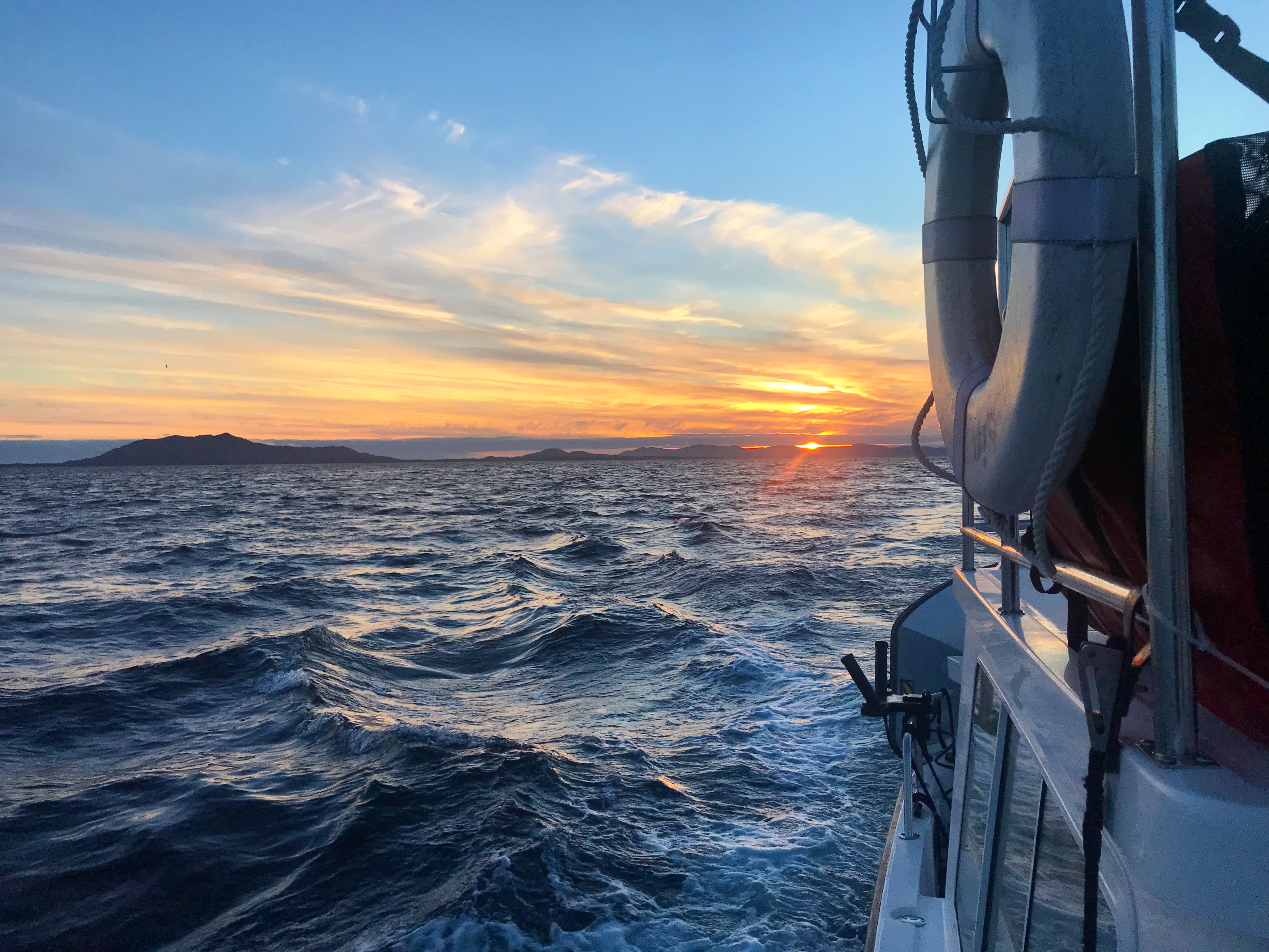
We awoke to decidedly un-Alaskan weather: bright sun (even at 4:00 a.m.), warm temperatures (eventually the mid-70s), and light wind. With only four hours to get to Thoms Place, we didn’t rush out of Meyers Chuck. Some people explored by dinghy, others dinghied to the dock and wandered the trails. Unfortunately we didn’t see Cassie delivering cinnamon rolls. Eventually, around 10:00 a.m., we weighed anchor and headed for Thoms Place. … Read more

Day 21 | Flotilla to Alaska | Ketchikan to Meyers Chuck

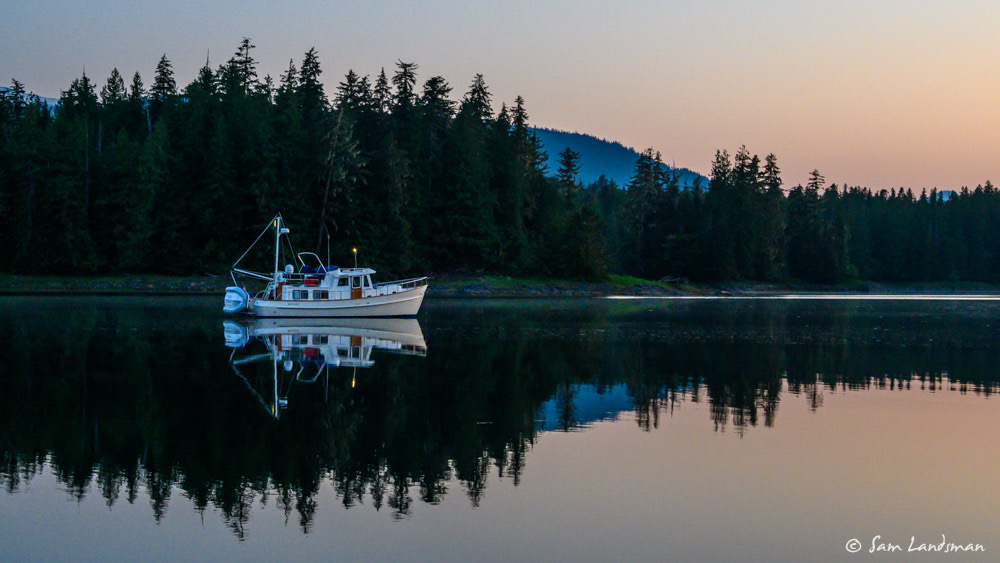
The flotilla left Ketchikan this morning and headed for Meyers Chuck. Another sunny day! We had about 15 knots of wind from the northwest which created a little chop on top of the low swells as we approached Behm Canal. These are the toughest conditions we’ve had yet–enough to splash a little saltwater on the windows (and free the holding tank sensors from their stuck positions) but not much else. … Read more

Day 18 | Flotilla to Alaska | Foggy Bay to Ketchikan

We staggered our departure times this morning. The two lead boats headed out first at 6:00 a.m., and the rest followed, two boats at 6:30 a.m. and the last two at 7:00 a.m. This sequence would allow the lead boats to fuel up, get into their slips, and be available to catch lines for the others as they got their slip assignments. We had a beautiful, calm cruise up to … Read more

Day 17 | Flotilla to Alaska | Kelp Passage to Foggy Bay

We’ve had really good weather at all the gates so far. We had to wait, but the Strait of Georgia ended up being lake-like. Johnstone Strait was placid. Cape Caution had a bit of swell: the boats definitely moved, but there was almost no wind or wind chop. For the last week, we’ve scarcely seen more than a ripple on the water. So the pressure is on: can we make … Read more

Knowing and Trusting Your Sources

When choosing navigation routes and anchorages, particularly in remote areas, there are numerous sources of information available to cruisers. There are paper and electronic charts, chartplotters, apps (such as Coastal Explorer, Navionics, and iNavX) for computers, smart phones, and tablets, as well as physical reference books. In SE Alaska, the books we typically use are (1) the Douglass’ guide “Exploring Southeast Alaska” and (2) “Charlie’s Charts North to Alaska.”  One … Read more

Dixon Entrance, Prince Rupert, Baker Inlet

We’re cruising together again! Laura and Kevin picked up Sam from the Ketchikan airport around 11:00 a.m. (how cool is an airport that has a dinghy dock?!) and we set off together to cross Dixon Entrance. We have about ten days to get down to Port McNeill to start a flotilla trip around Vancouver Island, so no time for dallying. The weather today was good, tomorrow questionable, so we wanted … Read more

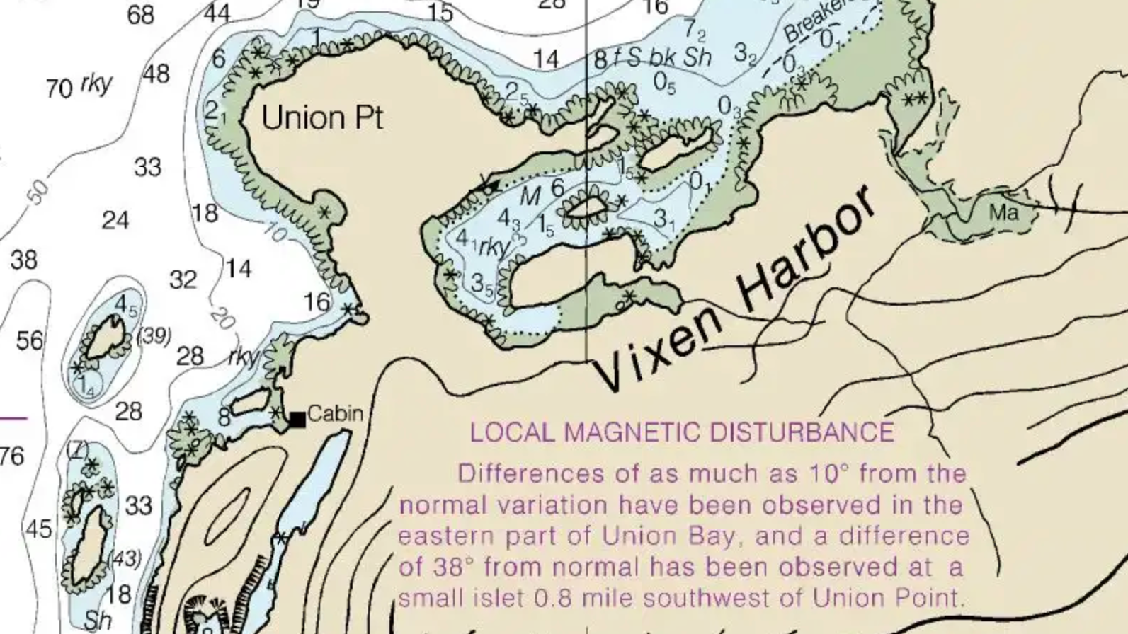
Airship | Vixen Harbor to Ketchikan

Frosty Bay was gray with drizzle when we awoke — first gray day in quite a few! We made coffee and pulled anchor just before 9:00 a.m. and continued down Seward Passage and into Ernest Sound. I had plotted our course all the way to Meyers Chuck, but we really wanted to stay somewhere we hadn’t been before. Between Anan and Meyers Chuck there aren’t many anchorages that seem like … Read more

Airship | Anan Wildlife Observatory

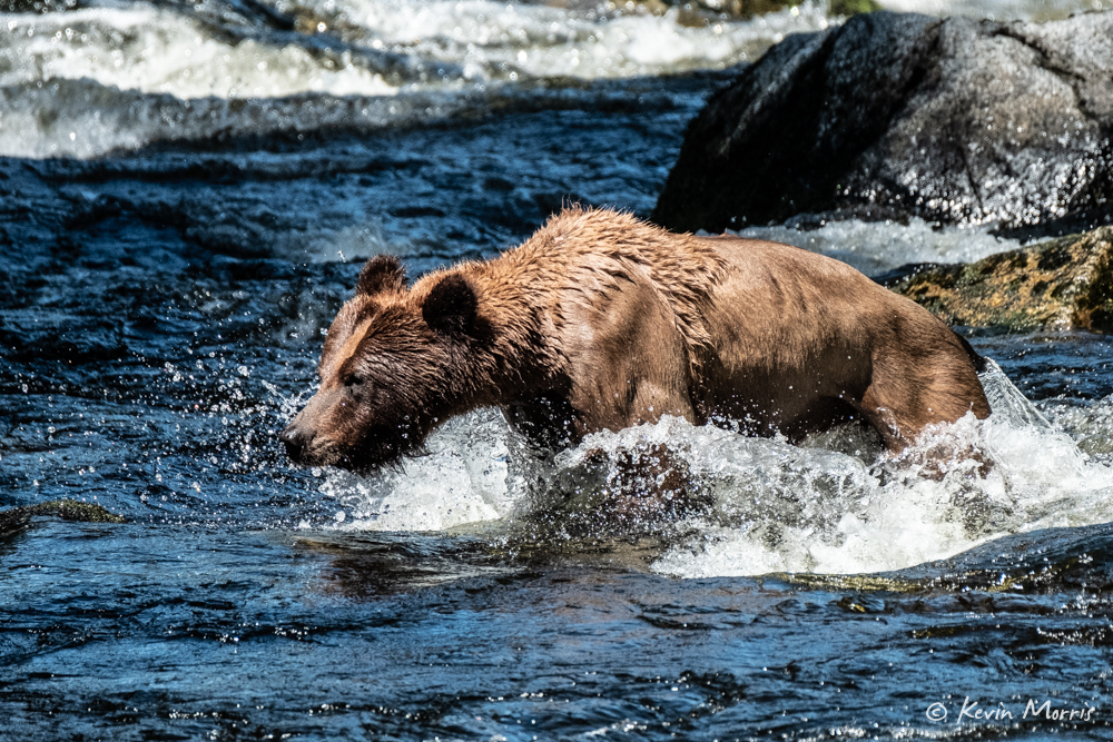
Yesterday morning we decided to check on a permit for Anan Wildlife Observatory since we’d be passing right by today. July 5 is the very first day of the high season and the first day each year that you need a permit to visit (read: there’s a good chance to see bears). Prior to July 5 and after August 25 you don’t need a permit. As I mentioned yesterday, we were … Read more