Day 10 | Alaska Flotilla Leg 4 | Penn Harbour to Meyers Narrows Cove

We were a little concerned about the weather this morning. Environment Canada predicted 25-30 knot northwesterlies out on Hecate Strait, and we feared this wind might make things a little bumpy, particularly as we exited Surf Inlet and turned south into Laredo Channel. This corner is somewhat exposed to wind and seas that originate in Hecate Strait but wrap through Caamaño Sound. Worse, we’d be leaving on the ebb, which … Read more

Day 9 | Alaska Flotilla Leg 4 | Patterson Inlet to Penn Harbour

The forecast called for improving weather today, at least in terms of precipitation. No rain was in the forecast, and it looked liked it might even get sunny, but the fog would need to burn off first. We had more than 50nm to travel, so we got an early start and spent much of the day navigating by instruments. Navigating by instruments is actually pretty easy, especially in the lightly … Read more

Day 8 | Alaska Flotilla Leg 4 | Captain Cove to Patterson Inlet

Today was an easy day: no weather concerns, simple navigation, and not far to go. Along the way we spotted a few dolphins. A long, narrow, easily navigated channel leads to Patterson Inlet, which indents Pitt Island. Along the way we saw this sign. We’re not sure who made it, but we’ve seen others like it at nearby anchorages. A little further in we saw this eagle, preening its feathers: … Read more

Day 7 | Alaska Flotilla Leg 4 | Prince Rupert to Captain Cove

We’d hoped for a lazy morning in Prince Rupert—time to catch up on a few more chores or go out for breakfast, perhaps—but the weather conspired against us. More accurately, the forecast conspired against us. Windy predicted southerly wind near 20 knots by mid-afternoon at the confluence of Ogden Channel, Grenville Channel, and Arthur Passage. A few years ago, we’d been in the same area with slightly more wind and … Read more

Day 6 | Alaska Flotilla Leg 4 | Foggy Bay to Prince Rupert

Goodbye Alaska! We’ve had a great couple months wandering around Southeast—the best weather we can remember (except for that one week of smoke), excellent bear and whale watching, and just a few boat gremlins—but in order to have a leisurely trip down the outside of Vancouver Island with decent weather, it’s time to head south. NOAA predicted 10 knot winds and Environment Canada said wind light. Windy showed single digit … Read more

Day 5 | Alaska Flotilla Leg 4 | Punchbowl Cove to Foggy Bay

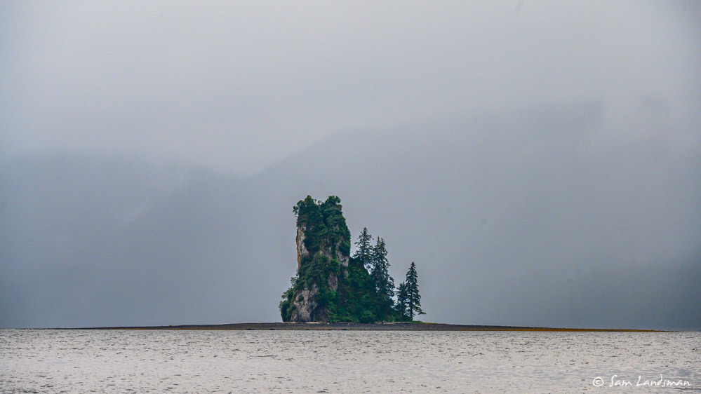
With our time in Southeast Alaska rapidly dwindling and a favorable weather forecast for Dixon Entrance tomorrow, we departed Punchbowl Cove this morning bound for Foggy Bay, a good jumping off point for Dixon Entrance. Along the way we passed New Eddystone Rock, a dramatic spire that rises more than 200 feet from the depths of Behm Canal.  NOAA predicted 15 knot winds and 3 foot seas and inReach weather … Read more

Day 4 | Alaska Flotilla Leg 4 | Walker Cove to Punchbowl Cove

Today we headed south from Walker Cove to Punchbowl Cove, about 19 nautical miles. Punchbowl Cove is normally our second preferred anchorage in Misty Fjords, but definitely not for lack of beauty, which it is rolling in! The reason is that normally Punchbowl Cove is very heavily trafficked…float planes and tour boats are in and out of the cove ALL day, making it feel almost as busy as the city … Read more

Days 2-3 | Alaska Flotilla Leg 4 | Marguerite Bay to Walker Cove

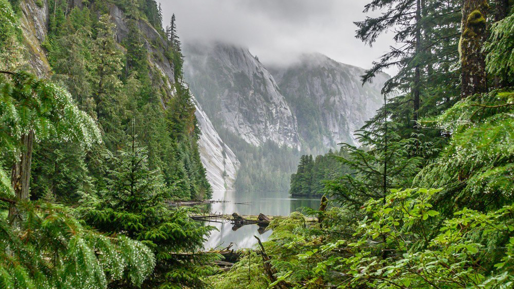
Misty Fjords National Monument is one of the most scenic places in Southeast Alaska. Waterfalls of all types, from dainty-looking ribbons to furious torrents, plunge into the ocean. Sheer walls rise thousands of feet into the misty skies. In the places sufficiently horizontal for soil to gather, scars from landslides abound, illustrating just how tenuously the soil and vegetation cling to the cliffs. We’ll visit two of the most dramatic … Read more