West Side of Vancouver Island Flotilla | Day 1 | Port McNeill to Bull Harbour

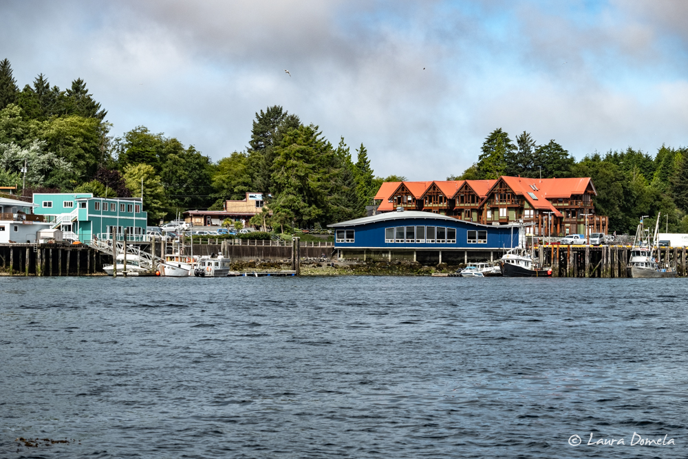
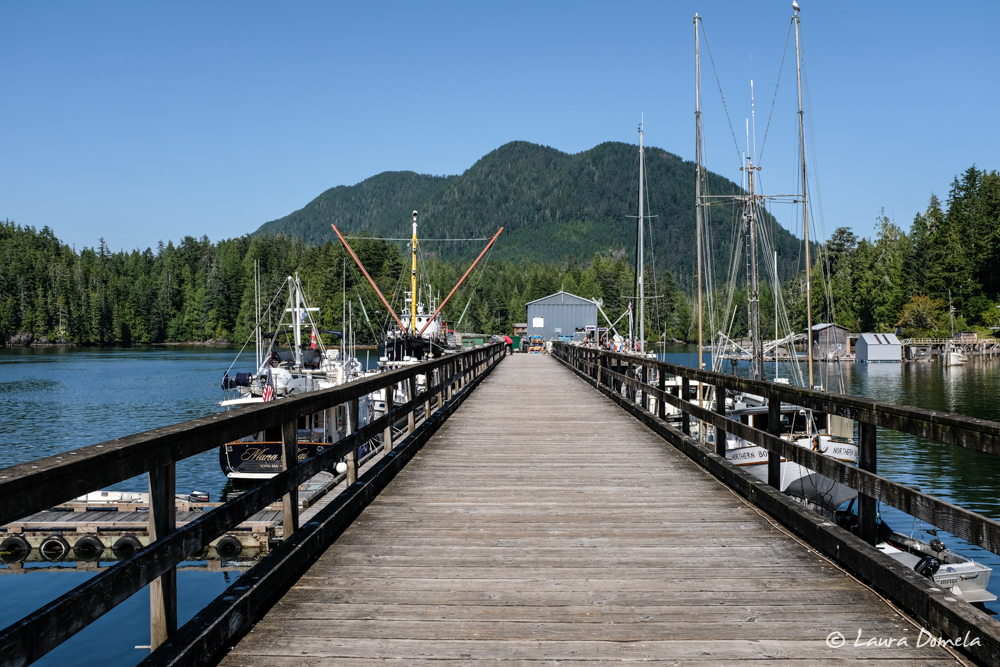
We’re off on our first Vancouver Island flotilla! We all met at North Island Marina in Port McNeill prior to departing for the west coast of Vancouver Island. This is an outstanding spot, with mechanics on call (who show up promptly), divers (they cleaned our hulls and running gear), fuel right at your slip, a good grocery store a short walk away, laundry, and a chandlery nearby. Best of all, … Read more

Two Nights in Sointula

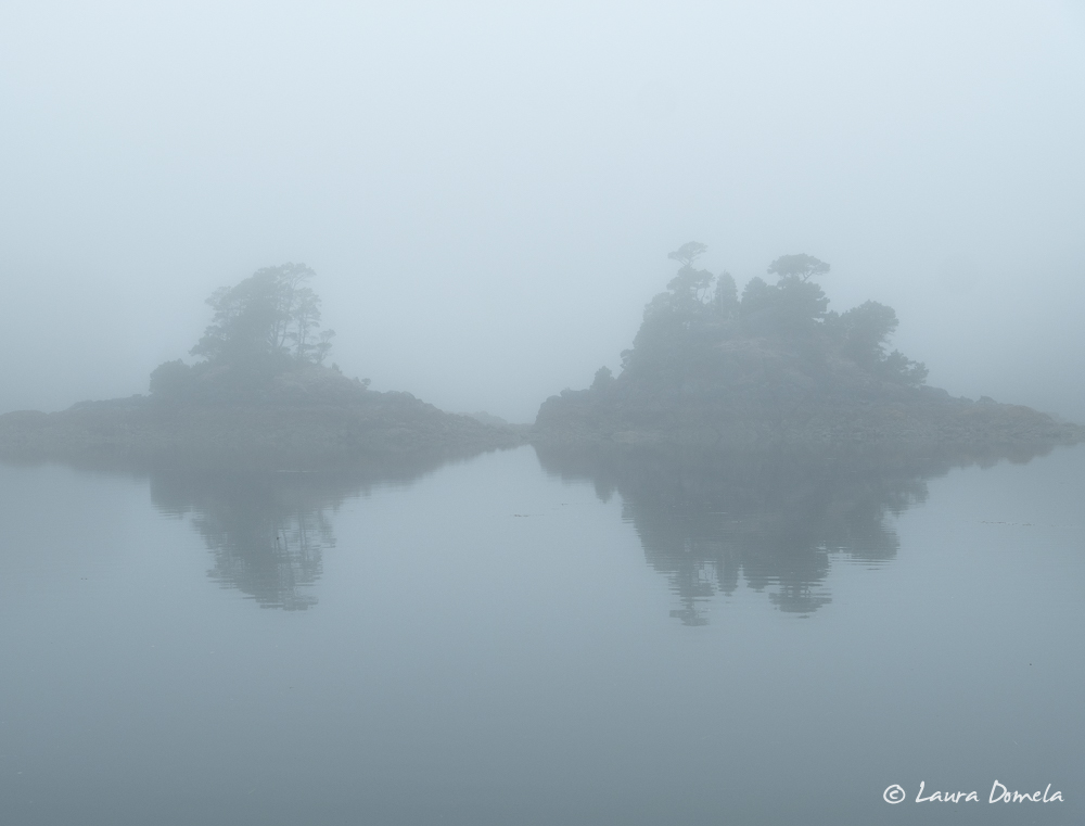
Skull Cove was foggy and gray as we left and headed into Queen Charlotte Strait toward Malcolm Island. We made plans to meet up with friends Carol and Park in Sointula this afternoon. (You might remember them from last year’s Alaska flotilla, on the Nordhavn 50 Akeeva.) Sointula is on Malcolm Island, just four miles or so from Port McNeill. A group of Finnish settlers came to Malcolm Island from the Nanaimo coal … Read more

Another Day in Skull Cove, and Nakwakto Rapids at Max Ebb

Guess what? We liked Skull Cove enough to stay a THIRD day! There is so much to explore around here, and with decent internet we are able to get a lot of work done. It’s also nice to have some down time before we start our next flotilla in three days! This morning we decided to visit Nakwakto Rapids near max ebb. Well, we decided to visit NEAR Nakwakto Rapids, … Read more

Skull Cove, Nakwakto Rapids, Cougar Inlet

We liked Skull Cove so much that we decided to stay another day! This is a beautiful anchorage with endless nooks and crannies to explore, the weather is great, and we have internet so we’re also able to get a lot of work done. We took the dinghies out to Nakwakto Rapids (at slack) to take a look. We were a little bit early and the tide was still ebbing … Read more

Big Frypan Bay, Cape Caution, Skull Cove

The forecast for Cape Caution wasn’t bad, but it wasn’t good either. Wind northwest 15-25 knots, diminishing to 10 knots in the morning, and increasing to 15 in the afternoon. Seas 1-2 meters. Windy showed a short period of calm wind close to shore, but it didn’t extend very far offshore, didn’t start until about four in the morning, and ended by the early afternoon. Our concern was that even … Read more

Khutze Inlet, Kakushdish Harbour, Big Frypan Bay

We left Khutze with a simple goal: anchor somewhere near Shearwater with good internet! We hoped to catch up on some work, and more importantly, pull all the weather resources we could to look for a weather window to get around Cape Caution. Our route south took us through lots of narrow passages. Hiekish Narrows (filled with floating logs), Jackson Narrows, Perceval Narrows, and Reid Passage. Jackson Narrows is particularly fun. … Read more

Baker Inlet to Khutze Inlet

Airship and Safe Harbour left Baker Inlet around 6:00 a.m. in order to transit Watts Narrows at low slack. The current was still, and the bright growth visible along the rocky passage at low tide was a colorful addition.  We decided to go all the way to Khutze Inlet (about 76nm). This would make it another long day, but we’d like to be available and nearby since it’s looking like … Read more

Knowing and Trusting Your Sources

When choosing navigation routes and anchorages, particularly in remote areas, there are numerous sources of information available to cruisers. There are paper and electronic charts, chartplotters, apps (such as Coastal Explorer, Navionics, and iNavX) for computers, smart phones, and tablets, as well as physical reference books. In SE Alaska, the books we typically use are (1) the Douglass’ guide “Exploring Southeast Alaska” and (2) “Charlie’s Charts North to Alaska.”  One … Read more