West Side of Vancouver Island Flotilla | Day 2 | Bull Harbour to North Harbour

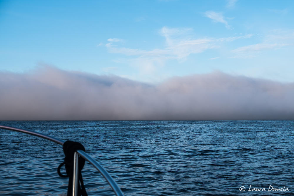
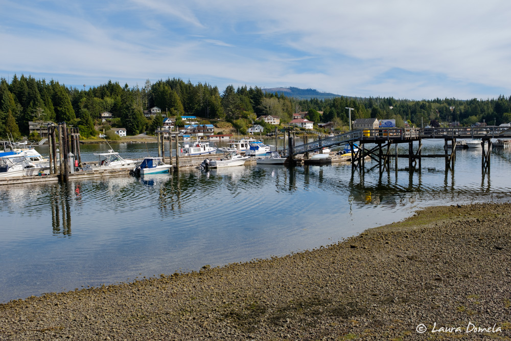
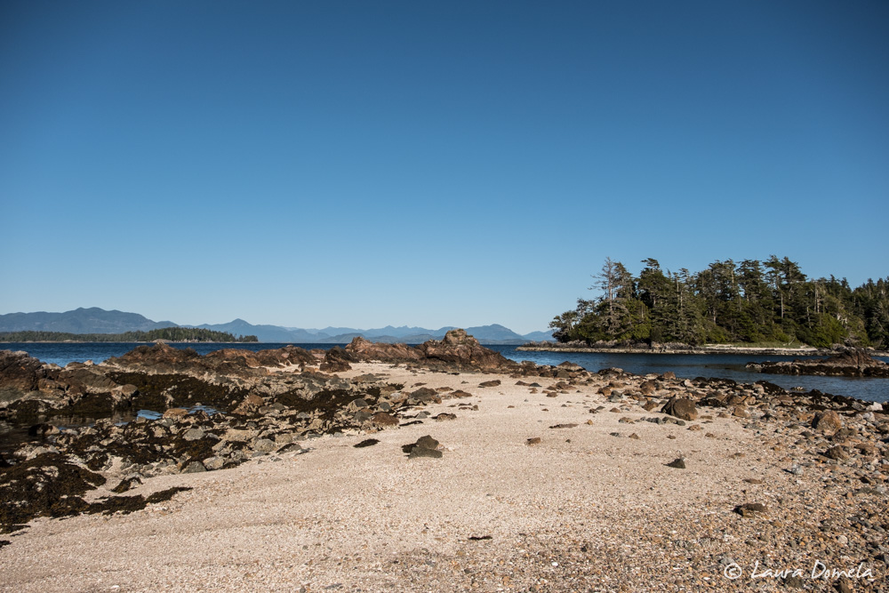
Bull Harbour to North Harbour (in Quatsino Sound) is one of the more challenging runs on a trip around Vancouver Island. Just outside of Bull Harbour is Nahwitti Bar, a shallow spot with swift moving current and ocean swells. At slack, it’s not a big deal, but with an ebb, it can be awful. The problem is it’s also good to be at Cape Scott at slack, and unless you … Read more

West Coast Vancouver Island | Wrap Up

Few Pacific Northwest boating trips capture the imagination of cruisers like circumnavigating Vancouver Island. It’s ambitious. It’s technical. Cruisers must deal with all the gates of the inside route—the Strait of Georgia, the rapids north of Desolation Sound, and Johnstone Strait—in addition to the more challenging spots on the outside of the island: Cape Scott, Brooks Peninsula, Estevan Point, as well as the Strait of Juan de Fuca. This is … Read more

The Strait of Juan de Fuca | West Side of Vancouver Island

We’ve written about many of the weather trouble spots on the west side of Vancouver Island already: Cape Scott, Brooks Peninsula, and Estevan Point. For southbound travelers, the Strait of Juan de Fuca is the final hurdle. The challenges are many: ocean swells at the west entrance, strong currents throughout, traffic, and the 100nm distance. There are at least seven weather forecasts to digest for this leg of the trip: … Read more

Bamfield | West Side of Vancouver Island

Bamfield is a tiny town separated into two halves that border Bamfield Inlet. The east side is connected by road to the rest of Vancouver Island. The west side is on Mills Peninsula and is accessible only by boat. All the buildings on the west side are accessed via boardwalks. It’s a charming little town! We tied to the government dock on the west side and took off on foot … Read more

Barkley Sound | West Side of Vancouver Island

The most challenging part of cruising on the west side of Vancouver Island is weather. The typical summer weather pattern is calm, cool mornings followed by clearing and warming in the afternoon. Fog is frequent. As temperatures climb, a northwesterly breeze fills in and conditions can get rough. By September, this pattern is more often disrupted by cooler, cloudier, wetter weather and moderate winds from the southeast. When Environment Canada … Read more

Tofino | West Side of Vancouver Island

Approaching Tofino is a bit overwhelming after weeks in the wilderness. Boats—tour boats, fishing boats, skiffs, seaplanes—zoom this way and that. Shoals dot the waterfront. Current runs to four or five knots. We tried hailing the harbormaster at the public docks to no avail. When we looked at the largest facility, 4th Street, the place seemed full. Boats, mostly much smaller than ours, rafted two or three deep. We continued … Read more

Bottleneck Bay and Bacchante Bay | West Side of Vancouver Island

From Hot Springs Cove we went into Clayoquot Sound. Clayoquot Sound is best known for Tofino, the town at its center, but the inlets, channels, and anchorages are wonderful cruising areas. Our first anchorage was Bottleneck Bay in Sydney Inlet. The bay gets its name from the narrow entrance channel, which looks a little intimidating at first. We found at least 25 feet of water mid-channel and current doesn’t seem … Read more

Estevan Point and Hot Springs Cove | West Side of Vancouver Island

Continuing south from Friendly Cove requires rounding Estevan Point, one of the significant headlands on the west side of Vancouver Island. The forecast for today sounded acceptable—wind light, building to west 15-25 knots in the afternoon and northwest 25-35 knots in the evening. We planned to head for Hot Springs Cove, about 28nm or four and a half hours away. Given the forecast for deteriorating conditions, we planned to head … Read more